Old Maps of Jena, Louisiana for Academic Research
Study the evolution of Jena with 17 high-resolution historic maps. Whether you're teaching, researching, or modeling changes in land use, these maps provide essential visual documentation of urban, environmental, and geographic change.
- Analyze long-term change: Track patterns in development, transportation, and natural features.
- Ideal for environmental or urban studies: Support academic projects with primary historical map data.
- Use in the classroom or lab: Educators and researchers rely on these maps to bring historical context to life.
These maps are a powerful tool for teaching, research, and visualizing how Jena has changed over the decades.
Jena, LA maps
(17)- 1941 Map of Jena, 1943 Print
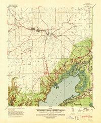 1941 Jena1943 Print · USGSLa Salle Parish at the start of the 1940s shows a landscape of timber towns and lowland lakes. Trace family roots at Fellowship Ch, see the industrial lines of the Louisiana & Arkansas RR, or locate old sites like Rhinehart and Nebo.
 - 1953 Map of Alexandria, 1963 Print
 1953 Alexandria1963 Print · USGSCentral Louisiana during the early fifties is mapped here at the intersection of the piney woods and the Red River valley. Genealogists and historians can trace the rail-and-river network connecting towns like Alexandria, Natchitoches, and the grounds of Camp Beauregard.3 unique versions available
 - 1955 Map of Alexandria
 1955 Alexandria1955 Print · USGSCentral Louisiana in the mid-fifties is a landscape of river-port cities, sprawling timberlands, and massive military reservations. Genealogists and historians can trace the rail networks of the Texas & Pacific RR and locate sites like Camp Polk Military Reservation and Natchitoches.
 - 1958 Map of Jena, 1959 Print
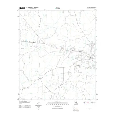
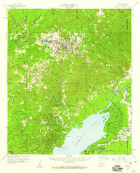 1958 Jena1959 Print · USGSLaSalle Parish timber and oil operations are in full swing during the late fifties, centered on the junction of the Louisiana and Arkansas Railway and the town of Jena. Researchers can trace family ties at the Nebo Sch, Searcy Cem, and the worker housing at Webb Quarters.2 unique versions available
 - 1985 Map of Jena West
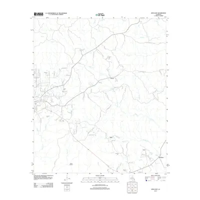
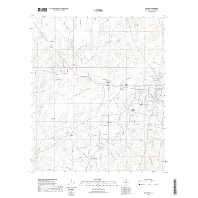
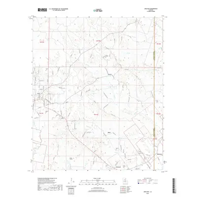
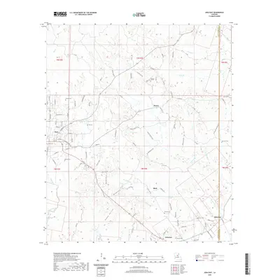
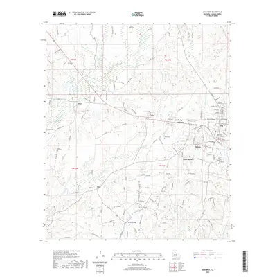
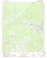 1985 Jena West1985 Print · USGSLaSalle Parish timber country comes into focus in the 1980s, centered on the western expansion of Jena. Genealogists and historians can trace old homesteads and the path of an Abandoned Railroad connecting Trout, Good Pine, and Webb Quarters.
 - 1985 Map of Jena East
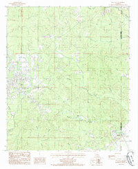 1985 Jena East1985 Print · USGSCentral Louisiana in the mid-1980s reveals a landscape defined by the drainage of Flat Creek and the growth of Jena. Genealogists and researchers can trace local landmarks like Blade, Rhinehart, and a prominent Gravel Pit near the parish line.
 - 1986 Map of Winnfield
 1986 Winnfield1986 Print · USGSCentral Louisiana in the mid-1980s was a landscape of timber towns and rail junctions woven through the Kisatchie National Forest. Researchers can trace the legacy of the lumber and rail eras through settlements like Good Pine, Packton, and Zenoria.2 unique versions available
 - 2012 Map of Jena West, 2012 Print
 2012 Jena West2012 Print · USGSCovers Jena, including Good Pine, Midway, and other nearby areas
 - 2012 Map of Jena East, 2012 Print
 2012 Jena East2012 Print · USGSCovers Jena, including Blade, Rhinehart, and other nearby areas
 - 2015 Map of Jena East, 2015 Print
 2015 Jena East2015 Print · USGSCovers Jena, including Blade, Rhinehart, and other nearby areas
 - 2015 Map of Jena West, 2015 Print
 2015 Jena West2015 Print · USGSCovers Jena, including Good Pine, Midway, and other nearby areas
 - 2018 Map of Jena West, 2018 Print
 2018 Jena West2018 Print · USGSCovers Jena, including Good Pine, Midway, and other nearby areas
 - 2018 Map of Jena East, 2018 Print
 2018 Jena East2018 Print · USGSCovers Jena, including Blade, Rhinehart, and other nearby areas
 - 2020 Map of Jena East, 2020 Print
 2020 Jena East2020 Print · USGSCovers Jena, including Blade, Rhinehart, and other nearby areas
 - 2020 Map of Jena West, 2020 Print
 2020 Jena West2020 Print · USGSCovers Jena, including Good Pine, Midway, and other nearby areas
 - 2024 Map of Jena East, 2024 Print
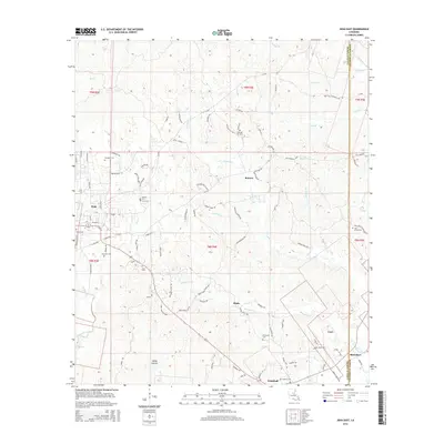
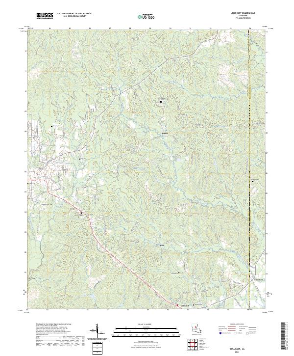 2024 Jena East2024 Print · USGSLaSalle and Catahoula Parishes are depicted in the modern era, showing the rural landscape around Jena and Rhinehart. Genealogists and researchers can trace local family landmarks through sites like Pleasant Hill Cem, Nolley Cem, and the high ground of Poverty Knob.
 - 2024 Map of Jena West, 2024 Print
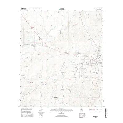
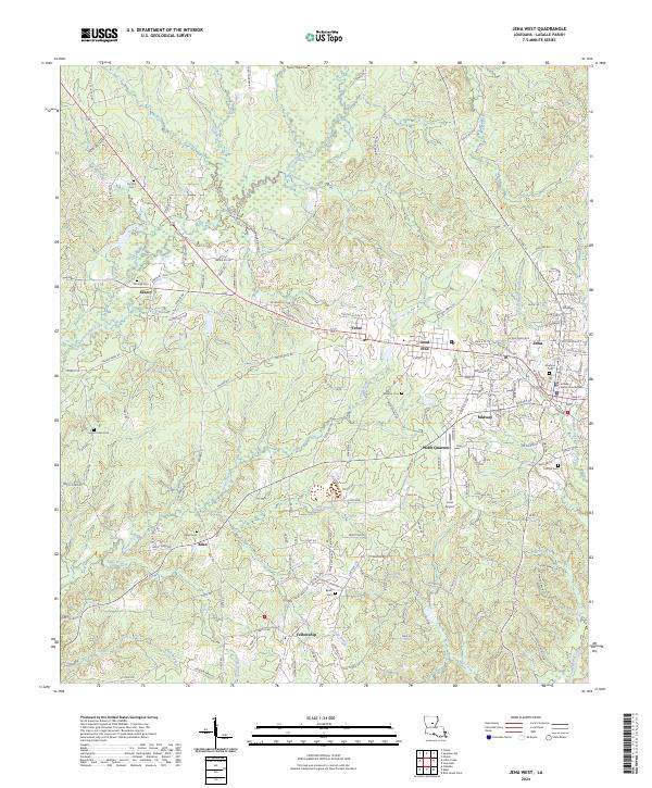 2024 Jena West2024 Print · USGSJena and its neighboring timber towns are captured in the early 2020s, showing a landscape rooted in the forestry and civic life of LaSalle Parish. Genealogists can trace local roots at Mount Sinai Cem and Webster Cem or locate the LaSalle Parish Courthouse.
End of results
Showing maps 1-17 of 17
Top cities near Jena
Frequently asked questions
- What are the different types of historical maps available for Jena?
- What is the oldest map of Jena?
- Where can I purchase historical maps of Jena for my home or office?
- Where can I download high-res historical maps of Jena?
- Are there historical topographic maps available for Jena?
- Is there historical aerial imagery available for Jena?
- Where are historical maps of Jena sourced from?