Old Maps of Ashly, Louisiana for Genealogy
Trace your family roots with 14 historic maps of Ashly. These high-res maps reveal old neighborhoods, homesites, landmarks, and streets — helping you uncover where your ancestors lived and how the area evolved over time.
- Explore historic neighborhoods: Identify where your relatives may have lived in the 1800s or 1900s.
- Compare maps over time: Trace the changes in streets, buildings, and landmarks for multi-generational research.
- Perfect for genealogy & ancestry research: Used by family historians and researchers to map out lineage and migration.
These maps are an incredible resource for exploring your personal connection to Ashly's past.
Ashly, LA maps
(14)- 1909 Map of Millikens Bend
 1909 Millikens Bend1909 Print · USGSMadison Parish and the Mississippi River front are captured during the peak of the plantation era. Researchers can trace historic family lands like Sparta and Huon Plantation, or locate rural landmarks such as Paradise Church and Hews Store.3 unique versions available
 - 1939 Map of Talla Bena, 1941 Print
 1939 Talla Bena1941 Print · USGSMadison Parish and the Mississippi River bank appear here just before the war, when the river was undergoing significant engineering. You can trace the rail lines through Tallulah, find family-named points like My Wifes (Or Paw Paw) Island, and locate historic river landings including Sparta Ldg.2 unique versions available
 - 1955 Map of Jackson
 1955 Jackson1955 Print · USGSThe Lower Mississippi Valley at the middle of the century reveals a landscape of deep river meanders and growing rail hubs. Genealogists and historians can trace the mid-century footprints of Vicksburg National Military Park, old river landings at Port Gibson, and the rail corridors of the Illinois Central Railroad.3 unique versions available
 - 1961 Map of Jackson
 1961 Jackson1961 Print · USGSThe Lower Mississippi Delta and the state capital area are captured here during the post-war era of infrastructure expansion. Researchers can trace the complex river oxbows and rail lines connecting Vicksburg, Yazoo City, and the Illinois Central Railroad network.
 - 1962 Map of Jackson
 1962 Jackson1962 Print · USGSThe Mississippi Delta and the state capital region are mapped here in the early sixties, showing a landscape defined by the great river and the growing city of JACKSON. Genealogists can trace family roots through numerous landmarks like Cedar Hill Cem, rural stops on the Illinois Central RR, and historic sites like Champion Hill.2 unique versions available
 - 1963 Map of Ashly, 1964 Print
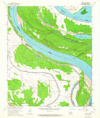 1963 Ashly1964 Print · USGSMadison Parish and the Mississippi River borderlands are captured here in the early sixties, showing a landscape of levees and river bends. Researchers can locate community anchors like Glen Mary Cem, the small settlement of Ashly, and several churches including Peters Rock Ch.4 unique versions available
 - 1965 Map of Talla Bena
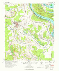 1965 Talla Bena1965 Print · USGSMadison Parish and the Mississippi Delta are captured here in the mid-sixties, showing a landscape shaped by the Mississippi River and the Illinois Central rail line. Genealogists can locate family landmarks like Silver Cross Cem, Macon Sch, and Bethlehem Ch.3 unique versions available
 - 1982 Map of Tallulah, 1983 Print
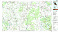 1982 Tallulah1983 Print · USGSNortheast Louisiana in the early eighties was a landscape of intricate oxbow lakes and railroad towns. Researchers can trace the heritage of parish centers like Tallulah and Winnsboro, or locate rural landmarks near Yucatan Lake and the Illinois Central Gulf tracks.
 - 1998 Map of Ashly, 2003 Print
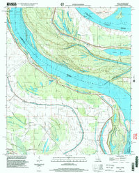 1998 Ashly2003 Print · USGSThe winding Mississippi River borderlands come to life in this late-century survey of Madison Parish. Genealogists can trace family landmarks like Glen Mary Cem and a cluster of local congregations including Peters Rock Ch and Mt Zion Ch.
 - 2012 Map of Ashly, 2012 Print
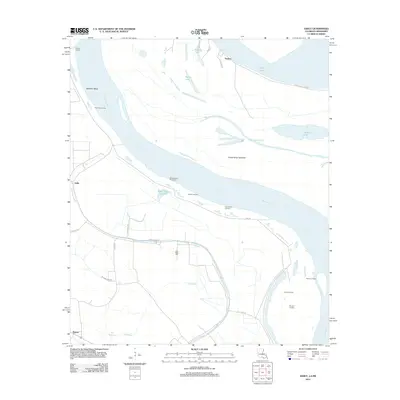 2012 Ashly2012 Print · USGSThe riverfront landings and alluvial bottoms of Madison Parish come to life in this recent survey. Genealogists and river historians can trace ancestral sites like Glen Mary Cem and old river access points including Sparta Landing and Omega Landing.
 - 2015 Map of Ashly, 2015 Print
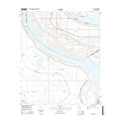 2015 Ashly2015 Print · USGSMadison Parish, Louisiana, is shown here during a period of modern stability along one of the Mississippi's most dramatic bends. Genealogists and local historians can trace the geography of Millikens Bend, find Ashly, and locate the Glen Mary Cemetery near the river's edge.
 - 2018 Map of Ashly, 2018 Print
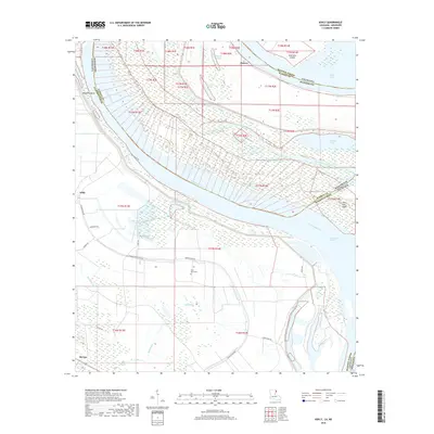 2018 Ashly2018 Print · USGSThe Louisiana-Mississippi borderlands appear in this modern survey, capturing the river's winding path through the delta. Local researchers can trace the rural landscape around Ashly, locate Glen Mary Cem, and study river features like Millikens Bend.
 - 2020 Map of Ashly, 2020 Print
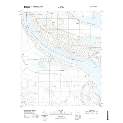 2020 Ashly2020 Print · USGSThe shifting Mississippi River borderlands of Louisiana and Mississippi are captured here in the early twenty-first century. Researchers can trace land ownership patterns and local landmarks like Glen Mary Cem, Ashly, and the distinctive Cabin Teele Crevasse.
 - 2024 Map of Ashly, 2024 Print
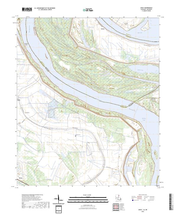 2024 Ashly2024 Print · USGSThe Mississippi River borderlands of Madison Parish and Warren County are captured here in the early 2020s. Researchers can trace the legacy of river engineering and rural settlement through Millikens Bend, Glen Mary Cem, and Eagle Lake.
End of results
Showing maps 1-14 of 14
Top cities near Ashly
- Vicksburg historical maps
- Tallulah historical maps
- Richmond historical maps
- Delta historical maps
- Mound historical maps
Frequently asked questions
- What are the different types of historical maps available for Ashly?
- What is the oldest map of Ashly?
- Where can I purchase historical maps of Ashly for my home or office?
- Where can I download high-res historical maps of Ashly?
- Are there historical topographic maps available for Ashly?
- Is there historical aerial imagery available for Ashly?
- Where are historical maps of Ashly sourced from?