2020s Maps of Ashland, Louisiana
Explore 8 historic maps of Ashland from the 2020s. These maps offer a rare glimpse into what life looked like during the 2020s — showing old roads, neighborhoods, homes, and landmarks that have changed or disappeared over time.
Whether you're researching your family's past, planning a metal detecting trip, or studying how Ashland's landscape evolved across the 2020s, these high-resolution maps are a powerful tool for exploring the history of this region.
- Focus on a specific era: All maps on this page are from the 2020s, giving you a focused view of this time period.
- See what’s changed: Compare century-old streets, trails, and buildings to today's modern landscape using overlays and satellite layers.
- Research with precision: Use these maps for genealogy, historical research, land use analysis, or educational projects.
- View, download, or print: Maps are fully viewable online in high resolution, and can be downloaded or printed for your own records.
Start exploring Ashland's history through authentic maps from the 2020s. This is your window into the past.
Ashland, LA maps
(8)- 2020 Map of Roy, 2020 Print
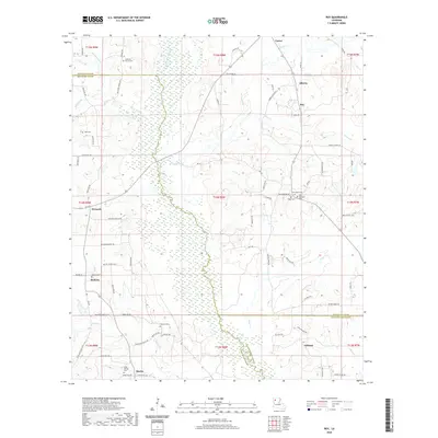 2020 Roy2020 Print · USGSCovers Ashland, including Martin, Castor, and other nearby areas
 - 2020 Map of Chestnut, 2020 Print
 2020 Chestnut2020 Print · USGSCovers Ashland, including Chestnut, Skidder, and other nearby areas
 - 2020 Map of Martin, 2020 Print
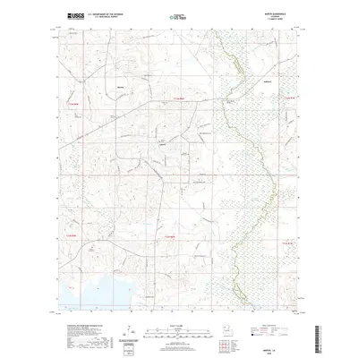 2020 Martin2020 Print · USGSCovers Ashland, including Martin, Liberty, and other nearby areas
 - 2020 Map of Ashland, 2020 Print
 2020 Ashland2020 Print · USGSCovers Ashland, including Lucky, New Ramah, and other nearby areas
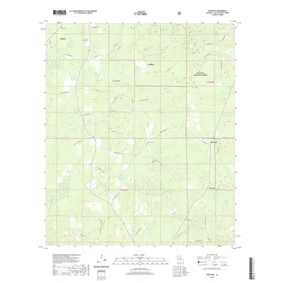
 - 2024 Map of Chestnut, 2024 Print
 2024 Chestnut2024 Print · USGSNatchitoches Parish in the early twenty-first century remains a landscape of managed timberlands and quiet rural settlements. Genealogists can trace family connections through the numerous cemeteries and namesake roads like Hathorn Cem, Weaver Cem, and Esau Hamilton Rd.
 - 2024 Map of Roy, 2024 Print
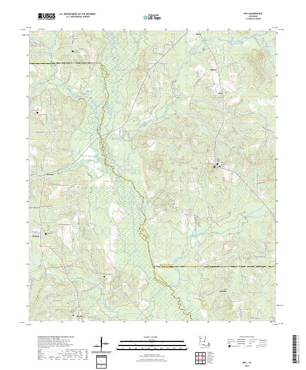 2024 Roy2024 Print · USGSAcross these parish lines in the 2020s, the landscape remains defined by its many small settlements and family burial grounds. Researchers can trace the communities of Alberta, Roy, and Ashland alongside historic sites like Cabiness Family Cem and Newman Cem.
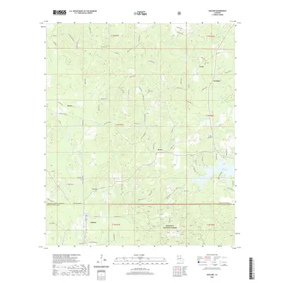
 - 2024 Map of Ashland, 2024 Print
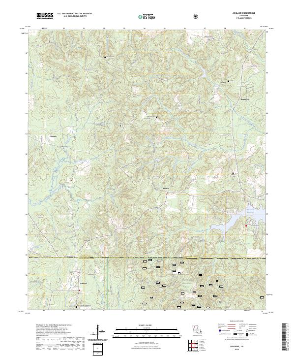 2024 Ashland2024 Print · USGSThe borderlands of Bienville and Natchitoches Parishes are mapped here in the modern era, showing the enduring rural layout of the region. Genealogists can locate family sites at Ramah Cem and Pine Grove Cem or trace the early settlements of Ashland and Lucky.
 - 2024 Map of Martin, 2024 Print
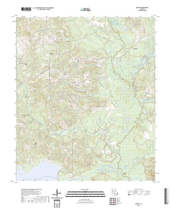 2024 Martin2024 Print · USGSThe crossroads of Red River Parish are captured here in the early twenty-first century, showing a landscape of timber and bayous. Researchers can trace family history through several burial sites like Hickory Grove Cem and Clear Springs Cem near the town of Martin.
End of results
Showing maps 1-8 of 8
Top cities near Ashland
- Coushatta historical maps
- Ringgold historical maps
- Campti historical maps
- Martin historical maps
- Goldonna historical maps
- Saline historical maps
See more
Top neighborhoods of Ashland
Frequently asked questions
- What are the different types of historical maps available for Ashland?
- What is the oldest map of Ashland?
- Where can I purchase historical maps of Ashland for my home or office?
- Where can I download high-res historical maps of Ashland?
- Are there historical topographic maps available for Ashland?
- Is there historical aerial imagery available for Ashland?
- Where are historical maps of Ashland sourced from?