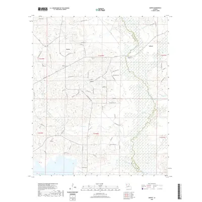
2020 Map of Martin
USGS Topo · Published 2020About this map
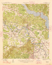
Martin and Liberty anchor this rural landscape within the transitional uplands between the Red River and Natchitoches Parish line. The terrain is defined by a dense network of minor drainage ways, including Brushy Cr and Liberty Cr, which feed into the extensive wetlands of Black Lake Bayou and Little Clear Lake along the eastern margin.
Find a feature on this map
69 named features on this map. Tap any name to fly to it.
Don’t see what you’re looking for? This feature index may not catch every label — zoom into the map to look around manually.
Map Details
Editions of this 2020 Martin Map
This is the sole edition of this map. No revisions or reprints were ever made.
Other maps of this area
1937 · Campti NE
USGS Topo · 1:31,680
1937 · Campti NW
USGS Topo · 1:31,680
1938 · Lake End
USGS Topo · 1:31,680
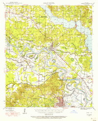
1944 · Campti
USGS Topo · 1:62,500
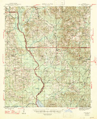
1947 · Ashland
USGS Topo · 1:62,500
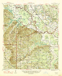
1947 · Hanna
USGS Topo · 1:62,500
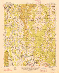
1948 · Coushatta
USGS Topo · 1:62,500
1948 · Campti
USGS Topo · 1:62,500

1953 · Alexandria
USGS Topo · 1:250,000

1955 · Shreveport
USGS Topo · 1:250,000