Old Maps of Liberty, Louisiana
Explore 12 old maps of Liberty, spanning from 1947 to today. These high-resolution historic maps reveal how streets, neighborhoods, landmarks, and natural features evolved over time — perfect for genealogy, metal detecting, research, and local history exploration.
What you can do with these maps:
- See how Liberty changed over time: Compare historical maps to modern-day views to trace roads, homesites, rail lines & more.
- View detailed metadata: Each map includes creators, publishers, year, scale, and archive source.
- Overlay maps with satellite & LiDAR: Visualize the past alongside modern tools to explore terrain & human change.
- Trusted historical sources: Maps sourced from the USGS, Library of Congress, and other archives.
- Access maps your way: View online, download high-res files, or order prints for personal or research use.
Start exploring old maps of Liberty to uncover forgotten places, hidden landmarks, and the deep history beneath your feet.
Liberty, LA maps
(12)- 1947 Map of Ashland
 1947 Ashland1947 Print · USGSNorth Louisiana's parish boundaries converge in this mid-century landscape where timber and rail lines defined daily life. Genealogists can locate numerous rural landmarks like St Mathews Ch, Old Saline Cem, and the old rail stop at Ashland.
 - 1955 Map of Shreveport
 1955 Shreveport1955 Print · USGSNorthern Louisiana in the mid-fifties is captured here as a landscape of military bases, vast oil fields, and burgeoning college towns. Genealogists and historians can trace the rail-and-river economy through the Monroe Gas Field, Grambling College, and Barksdale Air Force Base.3 unique versions available
 - 1956 Map of Shreveport
 1956 Shreveport1956 Print · USGSNorthern Louisiana during the mid-fifties presents a complex landscape of booming oil fields and strategic military installations. Genealogists and historians can trace the infrastructure of the Monroe Gas Field and family-named locales from Cotton Valley to Jonesboro.
 - 1957 Map of Ashland, 1958 Print
 1957 Ashland1958 Print · USGSNorth Louisiana's hill country comes alive in the late fifties, showing the rural communities of Ashland and Chestnut at a crossroads. Genealogists can trace family roots through sites like Old Saline Ch, the Luke Cem, and several early schools.3 unique versions available
 - 1984 Map of Shreveport
 1984 Shreveport1984 Print · USGSNorthern Louisiana at the peak of the 1980s reveals a landscape of massive water management projects and Cold War military hubs. Trace the rail lines of the Kansas City Southern Ry past Barksdale Air Force Base and the high ground of Driskill Mountain.2 unique versions available
 - 1985 Map of Shreveport South
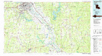 1985 Shreveport South1985 Print · USGSNorthwest Louisiana in the mid-eighties shows a landscape defined by the Red River and a transition from urban centers to deep timberland. Researchers can trace the rail-and-river economy through landmarks like Barksdale Air Force Base, the Sligo Oil and Gas Field, and Lake Bistineau.2 unique versions available
 - 1986 Map of Martin
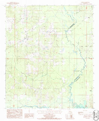 1986 Martin1986 Print · USGSRed River Parish in the mid-1980s reveals a quiet landscape of bayous and small settlements before modern expansion. Genealogists and historians can trace local landmarks like Liberty Cem, the winding path of Black Lake, and the rural community of Martin.
 - 2012 Map of Martin, 2012 Print
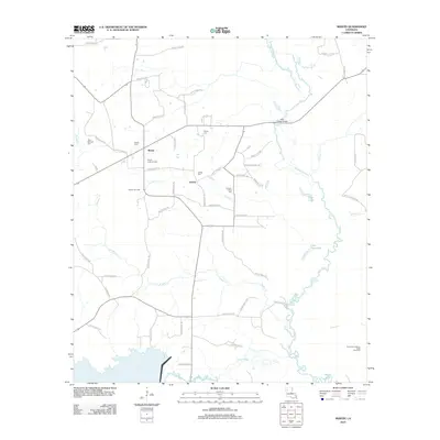 2012 Martin2012 Print · USGSRed River Parish in the early 2010s reveals a rural landscape defined by gas extraction and quiet settlements like Martin and Liberty. Genealogists and historians can trace local family lineages through several sites, including Pickett Cem and Thomas-Wren Cem near the Black Lake Bayou wetlands.
 - 2015 Map of Martin, 2015 Print
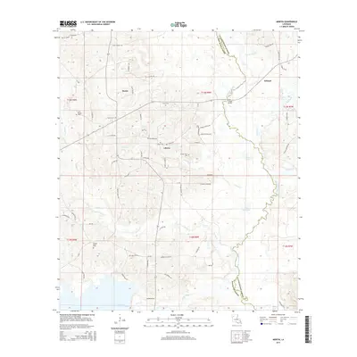 2015 Martin2015 Print · USGSRed River Parish and Natchitoches Parish meet along the winding waters of Black Lake Bayou in the twenty-first century. Researchers can locate numerous local burial sites including Martin Cem and Hickory Grove Cem near the banks of Grand Bayou.
 - 2018 Map of Martin, 2018 Print
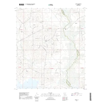 2018 Martin2018 Print · USGSRed River Parish at the decade's end shows a landscape of bayous and ridges defined by rural communities like Martin and Ashland. Genealogists can locate several family-named landmarks and burial grounds, including Pickett Cem and Hickory Grove Cem.
 - 2020 Map of Martin, 2020 Print
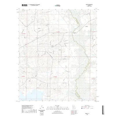 2020 Martin2020 Print · USGSRed River Parish at the start of the 2020s remains a landscape of quiet ridges and bayou wetlands. Genealogists can trace family footprints through numerous local sites including Pickett Cem, Hickory Grove Cem, and the rural community at Liberty.
 - 2024 Map of Martin, 2024 Print
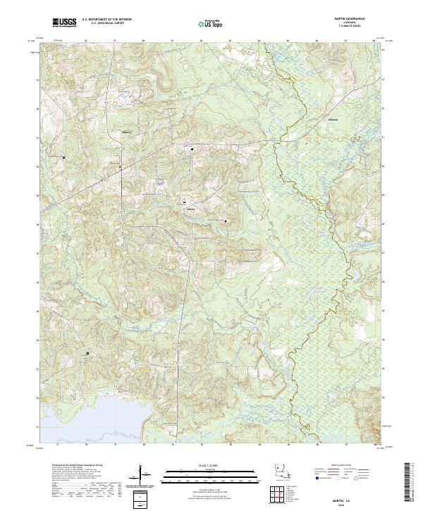 2024 Martin2024 Print · USGSThe crossroads of Red River Parish are captured here in the early twenty-first century, showing a landscape of timber and bayous. Researchers can trace family history through several burial sites like Hickory Grove Cem and Clear Springs Cem near the town of Martin.
End of results
Showing maps 1-12 of 12
Top cities near Liberty
- Coushatta historical maps
- Campti historical maps
- Martin historical maps
- Saline historical maps
- Ashland historical maps
- Hall Summit historical maps
See more
Frequently asked questions
- What are the different types of historical maps available for Liberty?
- What is the oldest map of Liberty?
- Where can I purchase historical maps of Liberty for my home or office?
- Where can I download high-res historical maps of Liberty?
- Are there historical topographic maps available for Liberty?
- Is there historical aerial imagery available for Liberty?
- Where are historical maps of Liberty sourced from?