Old Maps of Creston, Louisiana for Academic Research
Study the evolution of Creston with 14 high-resolution historic maps. Whether you're teaching, researching, or modeling changes in land use, these maps provide essential visual documentation of urban, environmental, and geographic change.
- Analyze long-term change: Track patterns in development, transportation, and natural features.
- Ideal for environmental or urban studies: Support academic projects with primary historical map data.
- Use in the classroom or lab: Educators and researchers rely on these maps to bring historical context to life.
These maps are a powerful tool for teaching, research, and visualizing how Creston has changed over the decades.
Creston, LA maps
(14)- 1937 Map of Campti NE
 1937 Campti NE1937 Print · USGSNatchitoches Parish at the end of the 1930s was a landscape of intricate bayous and timber tracts. Researchers can trace the path of the Logging Railroad or find family landmarks like Mt Zion Ch and the Clear Lake Sch near Campti.
 - 1944 Map of Campti, 1955 Print
 1944 Campti1955 Print · USGSNatchitoches and the Red River valley are shown here during the mid-1940s, highlighting a landscape of river bends and rail-dependent settlements. Researchers can trace family roots through numerous country landmarks like Bethlehem Sch, St Lukes Cem, and the river port at Grand Ecore.
 - 1948 Map of Campti
 1948 Campti1948 Print · USGSNatchitoches Parish and the Red River valley are captured in the late 1940s, showing a landscape defined by oxbows and rural life. Researchers can trace historic schools and churches from Campti to Powhatan, including Bethel Cem and Grappes Bluff.2 unique versions available
 - 1953 Map of Alexandria, 1963 Print
 1953 Alexandria1963 Print · USGSCentral Louisiana during the early fifties is mapped here at the intersection of the piney woods and the Red River valley. Genealogists and historians can trace the rail-and-river network connecting towns like Alexandria, Natchitoches, and the grounds of Camp Beauregard.3 unique versions available
 - 1955 Map of Alexandria
 1955 Alexandria1955 Print · USGSCentral Louisiana in the mid-fifties is a landscape of river-port cities, sprawling timberlands, and massive military reservations. Genealogists and historians can trace the rail networks of the Texas & Pacific RR and locate sites like Camp Polk Military Reservation and Natchitoches.
 - 1957 Map of Campti, 1958 Print
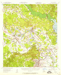 1957 Campti1958 Print · USGSThe Red River Valley in the late fifties was a maze of shifting river bends, bayous, and rail towns like Campti and Powhatan. Researchers can trace the era's local geography through landmarks like N W State College and numerous rural sites like Black Lake Sch.5 unique versions available
 - 1983 Map of Campti, 1984 Print
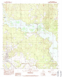 1983 Campti1984 Print · USGSNatchitoches Parish life in the early 1980s centered on the waterways of Black Lake and the rail lines at Campti. Researchers can trace local heritage through sites like Campti Cem, Our Lady of the Rosary Ch, and the Kansas City Southern railroad.2 unique versions available
 - 1986 Map of Natchitoches
 1986 Natchitoches1986 Print · USGSNorthwestern Louisiana during the mid-eighties shows a landscape shaped by major water projects and timberlands. Researchers can trace historic routes like the Old Spanish Trail or locate rural communities such as Fort Jesup, Fairview Alpha, and Grappes Bluff.2 unique versions available
 - 1996 Map of Campti, 1999 Print
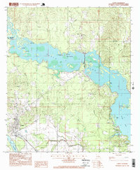 1996 Campti1999 Print · USGSThe bayou country of Natchitoches Parish comes alive in the late nineties, showing a landscape defined by the waters of Black Lake and Clear Lake. Researchers can trace local landmarks like Our Lady of the Rosary Ch and the Oil and Gas Field near Bourbeaux.
 - 2012 Map of Campti, 2012 Print
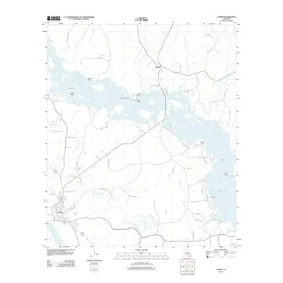 2012 Campti2012 Print · USGSIn the early 21st century, this area of Natchitoches Parish shows the unique intersection of the Red River and the sprawling Black Lake. Researchers can trace local lineage through Campti Cem or family landmarks like Jack Le Brum and Jim Bell Rd.
 - 2015 Map of Campti, 2015 Print
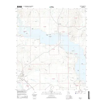 2015 Campti2015 Print · USGSNatchitoches Parish at the start of the 2010s shows a landscape deeply defined by the waters of Black Lake and the Red River. Researchers can trace old family road names and locate community landmarks like Creston, Campti, and the Campti Cem.
 - 2018 Map of Campti, 2018 Print
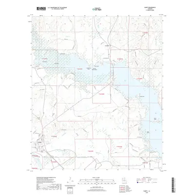 2018 Campti2018 Print · USGSNatchitoches Parish's river and lake country comes into focus in this recent survey of the bayou-laced terrain. Researchers can trace family history through labels like Campti Cem and family-named roads near Creston or Black Lake.
 - 2020 Map of Campti, 2020 Print
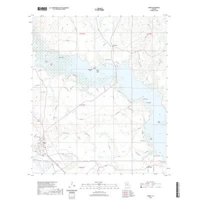 2020 Campti2020 Print · USGSCampti and the surrounding riverlands of Natchitoches Parish are detailed here in the contemporary era. Researchers can trace local heritage at the Campti Cem or explore the intricate waterways of Black Lake and Bourbeaux Bayou.
 - 2024 Map of Campti, 2024 Print
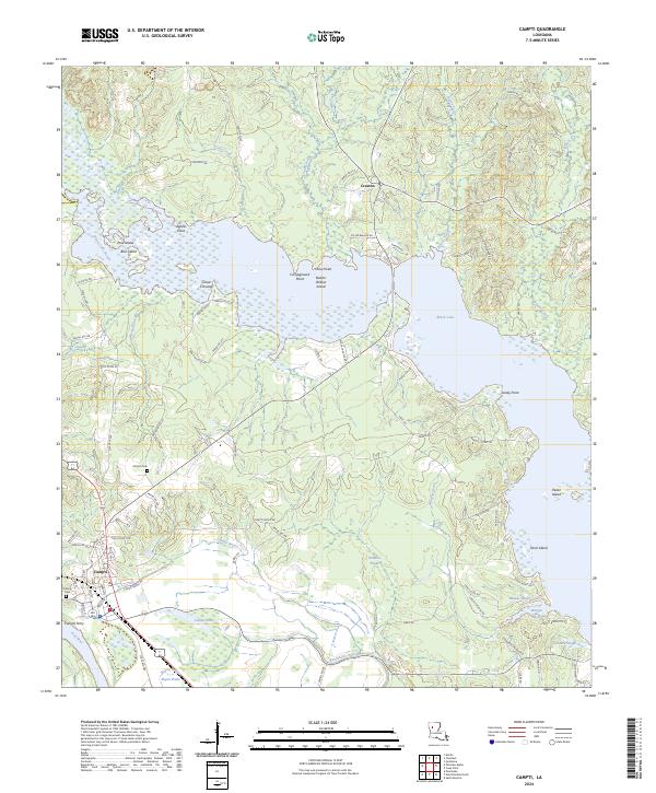 2024 Campti2024 Print · USGSExplore the Natchitoches Parish lake country in the modern era, where the waters of Black Lake meet the Red River valley. Researchers can trace local landmarks like Campti Ferry, Nativity Cem, and the island-dotted expanse of Cloud Crossing.
End of results
Showing maps 1-14 of 14
Top cities near Creston
- Natchitoches historical maps
- Campti historical maps
- Martin historical maps
- Clarence historical maps
- Goldonna historical maps
- Ashland historical maps
See more
Frequently asked questions
- What are the different types of historical maps available for Creston?
- What is the oldest map of Creston?
- Where can I purchase historical maps of Creston for my home or office?
- Where can I download high-res historical maps of Creston?
- Are there historical topographic maps available for Creston?
- Is there historical aerial imagery available for Creston?
- Where are historical maps of Creston sourced from?