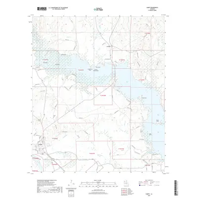
2018 Map of Campti
USGS Topo · Published 2018About this map
The Red River and Black Lake define the hydrologic character of this Natchitoches Parish landscape, where intricate bayous and brakes create a complex network of wetlands and seasonal waterways. Near the settlement of Campti, the terrain transitions from the river banks toward significant swamp features like Campti Brake and Robeaux Brake. This 2018 survey details the numerous named islands and points that emerge from the lake's reach, including Pine Island, Bird Island, and Pecan Island. Local infrastructure is anchored by the community of Creston and a dense grid of parish roads that follow the high ground between the various sloughs and coulees. Genealogists and local historians can trace family-named routes such as Archie Woods Rd and Ebenezer Vaughn Rd, while identifying the location of the Campti Cem situated north of the town center.
Find a feature on this map
87 named features on this map. Tap any name to fly to it.
Don’t see what you’re looking for? This feature index may not catch every label — zoom into the map to look around manually.
Map Details
Editions of this 2018 Campti Map
This is the sole edition of this map. No revisions or reprints were ever made.
Other maps of this area

1937 · Campti NE
USGS Topo · 1:31,680

1937 · Campti SE
USGS Topo · 1:31,680

1937 · Campti NW
USGS Topo · 1:31,680

1937 · Campti SW
USGS Topo · 1:31,680

1944 · Campti
USGS Topo · 1:62,500

1947 · Goldonna
USGS Topo · 1:62,500

1947 · Ashland
USGS Topo · 1:62,500

1948 · Campti
USGS Topo · 1:62,500

1949 · Calvin NW
USGS Topo · 1:31,680

1949 · Calvin SW
USGS Topo · 1:31,680