Old Maps of Grand Ecore, Louisiana
Explore 13 old maps of Grand Ecore, spanning from 1937 to today. These high-resolution historic maps reveal how streets, neighborhoods, landmarks, and natural features evolved over time — perfect for genealogy, metal detecting, research, and local history exploration.
What you can do with these maps:
- See how Grand Ecore changed over time: Compare historical maps to modern-day views to trace roads, homesites, rail lines & more.
- View detailed metadata: Each map includes creators, publishers, year, scale, and archive source.
- Overlay maps with satellite & LiDAR: Visualize the past alongside modern tools to explore terrain & human change.
- Trusted historical sources: Maps sourced from the USGS, Library of Congress, and other archives.
- Access maps your way: View online, download high-res files, or order prints for personal or research use.
Start exploring old maps of Grand Ecore to uncover forgotten places, hidden landmarks, and the deep history beneath your feet.
Grand Ecore, LA maps
(13)- 1937 Map of Campti SE
 1937 Campti SE1937 Print · USGSIn the late 1930s, the historic city of Natchitoches sat at the heart of a vibrant river-and-rail economy along the Cane River. Researchers can trace old family sites and rural landmarks like Debleux Cem, St Savior Ch, and the high bluffs at Grand Ecore.
 - 1944 Map of Campti, 1955 Print
 1944 Campti1955 Print · USGSNatchitoches and the Red River valley are shown here during the mid-1940s, highlighting a landscape of river bends and rail-dependent settlements. Researchers can trace family roots through numerous country landmarks like Bethlehem Sch, St Lukes Cem, and the river port at Grand Ecore.
 - 1948 Map of Campti
 1948 Campti1948 Print · USGSNatchitoches Parish and the Red River valley are captured in the late 1940s, showing a landscape defined by oxbows and rural life. Researchers can trace historic schools and churches from Campti to Powhatan, including Bethel Cem and Grappes Bluff.2 unique versions available
 - 1953 Map of Alexandria, 1963 Print
 1953 Alexandria1963 Print · USGSCentral Louisiana during the early fifties is mapped here at the intersection of the piney woods and the Red River valley. Genealogists and historians can trace the rail-and-river network connecting towns like Alexandria, Natchitoches, and the grounds of Camp Beauregard.3 unique versions available
 - 1955 Map of Alexandria
 1955 Alexandria1955 Print · USGSCentral Louisiana in the mid-fifties is a landscape of river-port cities, sprawling timberlands, and massive military reservations. Genealogists and historians can trace the rail networks of the Texas & Pacific RR and locate sites like Camp Polk Military Reservation and Natchitoches.
 - 1957 Map of Campti, 1958 Print
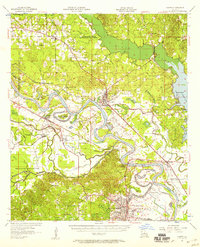 1957 Campti1958 Print · USGSThe Red River Valley in the late fifties was a maze of shifting river bends, bayous, and rail towns like Campti and Powhatan. Researchers can trace the era's local geography through landmarks like N W State College and numerous rural sites like Black Lake Sch.5 unique versions available
 - 1983 Map of Natchitoches North, 1984 Print
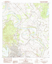 1983 Natchitoches North1984 Print · USGSNatchitoches and the Red River valley are captured in the early eighties as significant river re-channeling was underway. Researchers can locate Northwestern State Univ, family burial sites like De Blieux Cem, and the old settlement of Grand Ecore.2 unique versions available
 - 1986 Map of Natchitoches
 1986 Natchitoches1986 Print · USGSNorthwestern Louisiana during the mid-eighties shows a landscape shaped by major water projects and timberlands. Researchers can trace historic routes like the Old Spanish Trail or locate rural communities such as Fort Jesup, Fairview Alpha, and Grappes Bluff.2 unique versions available
 - 2012 Map of Natchitoches North, 2012 Print
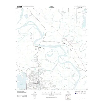 2012 Natchitoches North2012 Print · USGSNatchitoches and the Red River valley are shown in detail during the early 2010s, illustrating the area's deep-rooted river culture. Researchers can trace family history through several burial grounds like American Cem and locate landmarks such as Grand Ecore and Upper Landing.
 - 2015 Map of Natchitoches North, 2015 Print
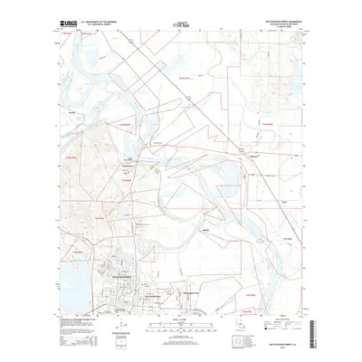 2015 Natchitoches North2015 Print · USGSThe Red River valley and the historic city of Natchitoches are shown in detail during the mid-2010s. Researchers can trace family history through numerous local sites including American Cem, Grand Ecore Bluff, and the Northwestern State Univ of Louisiana.
 - 2018 Map of Natchitoches North, 2018 Print
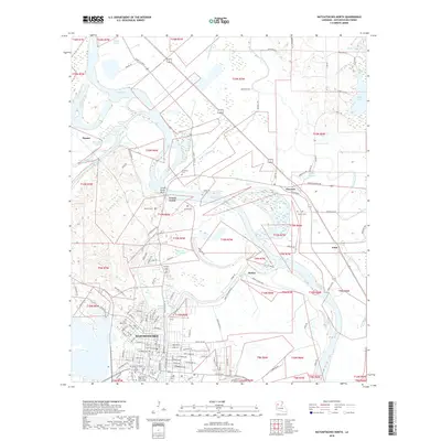 2018 Natchitoches North2018 Print · USGSNatchitoches and the Red River valley are shown in detail during the late twenty-teens. Genealogists can locate numerous local burial sites like Memory Lawn Cem and American Cem, while tracing the geography of Grand Ecore Bluff and Breda Lake.
 - 2020 Map of Natchitoches North, 2020 Print
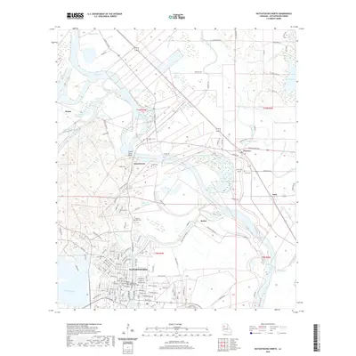 2020 Natchitoches North2020 Print · USGSNatchitoches and its riverfront surroundings are shown in detail as they appeared in 2020. Researchers can trace ancestral locations through numerous burial grounds like American Cem, Catholic Cem, and De Blieux Cem near the Grand Ecore Bluff.
 - 2024 Map of Natchitoches North, 2024 Print
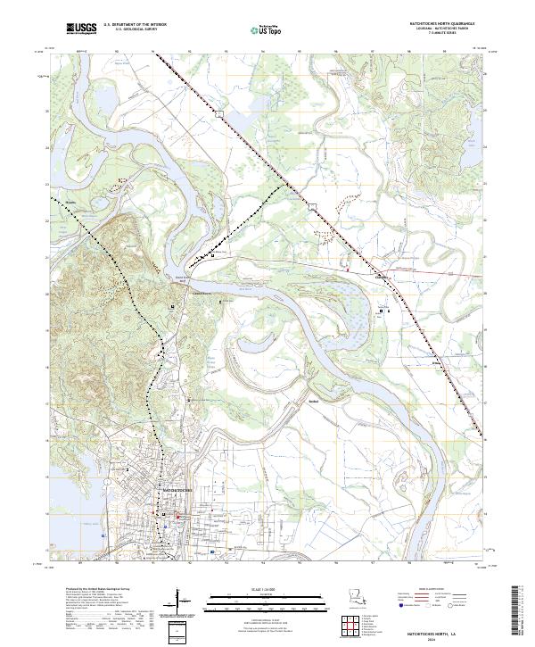 2024 Natchitoches North2024 Print · USGSNatchitoches and the Red River valley are captured in this recent survey, showcasing the historic city's modern footprint and institutional growth. Researchers can trace local lineage through American Cem and De Blieux Cem, or locate landmarks like the Natchitoches Parish Courthouse.
End of results
Showing maps 1-13 of 13
Top cities near Grand Ecore
- Natchitoches historical maps
- Campti historical maps
- Montgomery historical maps
- Natchez historical maps
- Provencal historical maps
- Clarence historical maps
See more
Frequently asked questions
- What are the different types of historical maps available for Grand Ecore?
- What is the oldest map of Grand Ecore?
- Where can I purchase historical maps of Grand Ecore for my home or office?
- Where can I download high-res historical maps of Grand Ecore?
- Are there historical topographic maps available for Grand Ecore?
- Is there historical aerial imagery available for Grand Ecore?
- Where are historical maps of Grand Ecore sourced from?