2020 Map of Natchitoches North
USGS Topo · Published 2020About this map
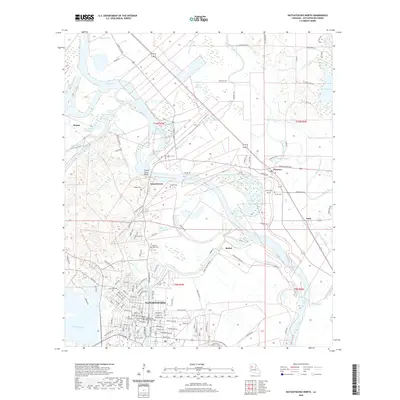
Natchitoches sits as the central hub of this northern Louisiana landscape, where the Red River carves a winding path through a complex network of bayous and cutoffs. The map documents the intricate hydrology of the region, from the wide expanse of Black Lake to smaller waterways like Saint Marys Bayou and Bayou Couchinaha. A notable concentration of burial sites, including the American Cem and Memory Lawn Cem, reflects the deep ancestral roots of the local community.
Find a feature on this map
132 named features on this map. Tap any name to fly to it.
Don’t see what you’re looking for? This feature index may not catch every label — zoom into the map to look around manually.
Map Details
Editions of this 2020 Natchitoches North Map
This is the sole edition of this map. No revisions or reprints were ever made.
Other maps of this area

1935 · Hagewood
USGS Topo · 1:31,680

1937 · Campti NE
USGS Topo · 1:31,680

1937 · Bermuda
USGS Topo · 1:31,680

1937 · Campti SE
USGS Topo · 1:31,680

1937 · Campti NW
USGS Topo · 1:31,680

1937 · Montgomery
USGS Topo · 1:62,500

1937 · Campti SW
USGS Topo · 1:31,680

1942 · Montgomery
USGS Topo · 1:62,500

1943 · Provencal
USGS Topo · 1:62,500

1944 · Campti
USGS Topo · 1:62,500