Old Maps of Trichell, Louisiana for Genealogy
Trace your family roots with 12 historic maps of Trichell. These high-res maps reveal old neighborhoods, homesites, landmarks, and streets — helping you uncover where your ancestors lived and how the area evolved over time.
- Explore historic neighborhoods: Identify where your relatives may have lived in the 1800s or 1900s.
- Compare maps over time: Trace the changes in streets, buildings, and landmarks for multi-generational research.
- Perfect for genealogy & ancestry research: Used by family historians and researchers to map out lineage and migration.
These maps are an incredible resource for exploring your personal connection to Trichell's past.
Trichell, LA maps
(12)- 1949 Map of Calvin SW
 1949 Calvin SW1949 Print · USGSThe parish line of Natchitoches and Winn follows the twisting course of Saline Bayou during the late Forties. Researchers can trace the rural layout of churches and schools like Christian Harmony Ch, Pace Sch, and St Maurice along the river.
 - 1953 Map of Alexandria, 1963 Print
 1953 Alexandria1963 Print · USGSCentral Louisiana during the early fifties is mapped here at the intersection of the piney woods and the Red River valley. Genealogists and historians can trace the rail-and-river network connecting towns like Alexandria, Natchitoches, and the grounds of Camp Beauregard.3 unique versions available
 - 1955 Map of Alexandria
 1955 Alexandria1955 Print · USGSCentral Louisiana in the mid-fifties is a landscape of river-port cities, sprawling timberlands, and massive military reservations. Genealogists and historians can trace the rail networks of the Texas & Pacific RR and locate sites like Camp Polk Military Reservation and Natchitoches.
 - 1955 Map of Calvin, 1956 Print
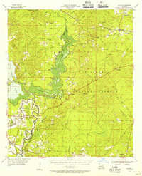 1955 Calvin1956 Print · USGSAcross the bayous and timberlands of Winn and Natchitoches Parishes in the mid-fifties, rural life was defined by the Kisatchie National Forest. Trace family roots through local landmarks like Bethlehem Ch, Emden Sch, and the Kansas City Southern rail line near St Maurice.3 unique versions available
 - 1983 Map of St. Maurice, 1984 Print
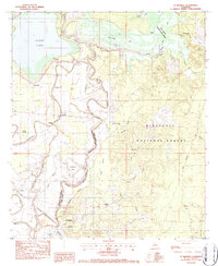 1983 St. Maurice1984 Print · USGSCentral Louisiana in the early eighties was a landscape of bayous and timberlands where the parish line followed the winding Saline Bayou. Trace the history of small communities and rural life through St Maurice Plantation, Pace Cem, and the New Enterprise Sch.2 unique versions available
 - 1986 Map of Winnfield
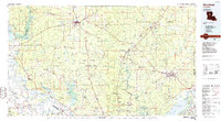 1986 Winnfield1986 Print · USGSCentral Louisiana in the mid-1980s was a landscape of timber towns and rail junctions woven through the Kisatchie National Forest. Researchers can trace the legacy of the lumber and rail eras through settlements like Good Pine, Packton, and Zenoria.2 unique versions available
 - 2003 Map of Saint Maurice, 2005 Print
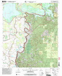 2003 Saint Maurice2005 Print · USGSThe convergence of the Red River and Saline Bayou at the Winn and Natchitoches Parish line comes into focus in this early 2000s study. Genealogists can trace family sites at St Maurice Plantation, Pace Cem, and the New Enterprise Sch.
 - 2012 Map of Saint Maurice, 2012 Print
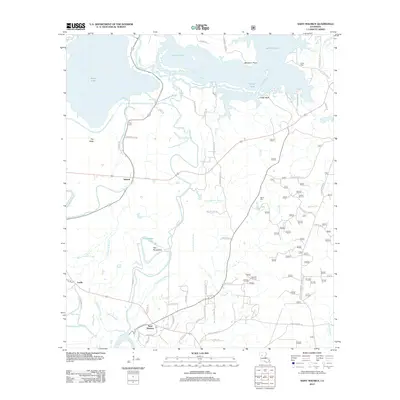 2012 Saint Maurice2012 Print · USGSNatchitoches Parish at the turn of the decade is shown here as a landscape defined by the Red River and its complex bayou systems. Researchers can trace family history through sites like Saint Maurice, Pace Cem, and the small settlement of Trichell.
 - 2015 Map of Saint Maurice, 2015 Print
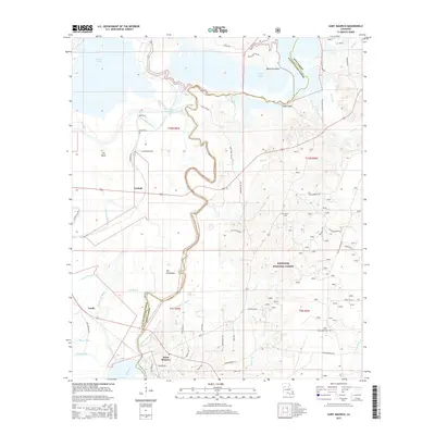 2015 Saint Maurice2015 Print · USGSNatchitoches and Winn Parishes are mapped here in the mid-2010s, showing the intricate bayous and lake systems of central Louisiana. Researchers can locate the historic riverfront at Saint Maurice or trace family sites like Pace Cem and the settlement of Trichell.
 - 2018 Map of Saint Maurice, 2018 Print
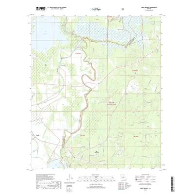 2018 Saint Maurice2018 Print · USGSThe Natchitoches and Winn Parish line is traced by the winding waters of Saline Bayou in this recent survey. Researchers can locate the settlements of St. Maurice and Luella, alongside local landmarks like Pace Cem, Saline Cem, and the Kisatchie National Forest.
 - 2020 Map of Saint Maurice, 2020 Print
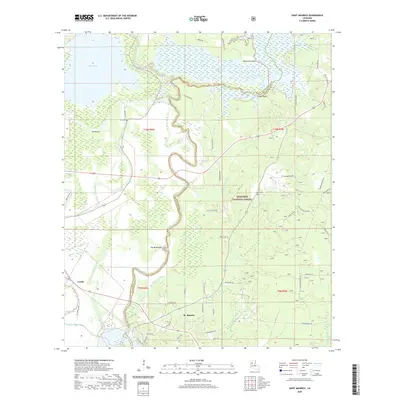 2020 Saint Maurice2020 Print · USGSThe riverlands of Natchitoches and Winn Parishes come alive in this recent survey of the Louisiana backcountry. Researchers can trace local history through the proximity of St. Maurice and Luella to the Red River, or locate family sites near Pace Cem and Saline Cem.
 - 2024 Map of Saint Maurice, 2024 Print
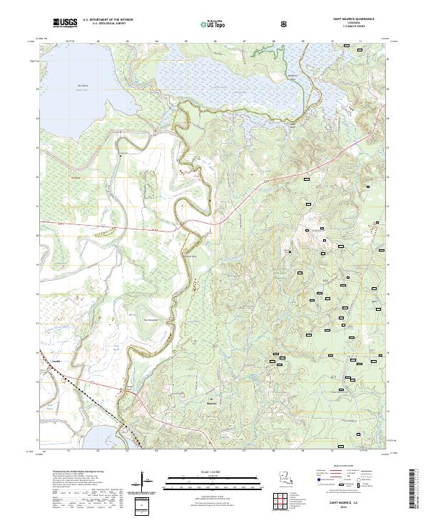 2024 Saint Maurice2024 Print · USGSLouisiana's river country comes to life in this survey of the Winn and Natchitoches Parish line, where the Red River meets a network of bayous. Researchers can trace old river crossings at Strongs Ferry and explore local landmarks like Cedar Bluff and Pace Cem.
End of results
Showing maps 1-12 of 12
Top cities near Trichell
- Natchitoches historical maps
- Campti historical maps
- Montgomery historical maps
- Natchez historical maps
- Provencal historical maps
- Clarence historical maps
See more
Frequently asked questions
- What are the different types of historical maps available for Trichell?
- What is the oldest map of Trichell?
- Where can I purchase historical maps of Trichell for my home or office?
- Where can I download high-res historical maps of Trichell?
- Are there historical topographic maps available for Trichell?
- Is there historical aerial imagery available for Trichell?
- Where are historical maps of Trichell sourced from?