2000s (21st Century) Maps of New Orleans, Louisiana
Explore 65 historic maps of New Orleans from the 2000s (21st Century). These maps offer a rare glimpse into what life looked like during the 2000s — showing old roads, neighborhoods, homes, and landmarks that have changed or disappeared over time.
Whether you're researching your family's past, planning a metal detecting trip, or studying how New Orleans's landscape evolved across the 2000s, these high-resolution maps are a powerful tool for exploring the history of this region.
- Focus on a specific era: All maps on this page are from the 2000s, giving you a focused view of this time period.
- See what’s changed: Compare century-old streets, trails, and buildings to today's modern landscape using overlays and satellite layers.
- Research with precision: Use these maps for genealogy, historical research, land use analysis, or educational projects.
- View, download, or print: Maps are fully viewable online in high resolution, and can be downloaded or printed for your own records.
Start exploring New Orleans's history through authentic maps from the 2000s. This is your window into the past.
New Orleans, LA maps
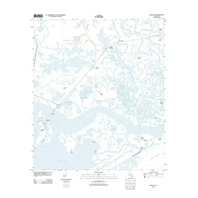
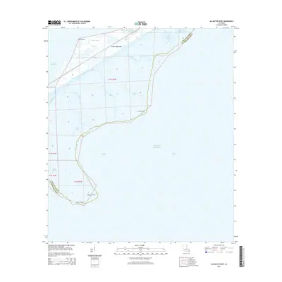
(65)- 2012 Map of Alligator Point, 2012 Print
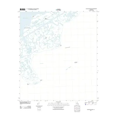 2012 Alligator Point2012 Print · USGSCovers New Orleans, including Lake Catherine, Orleans Parish, and other nearby areas
 - 2012 Map of South Point, 2012 Print
 2012 South Point2012 Print · USGSCovers New Orleans, including South Point, Orleans Parish, and other nearby areas
 - 2012 Map of Chef Menteur, 2012 Print
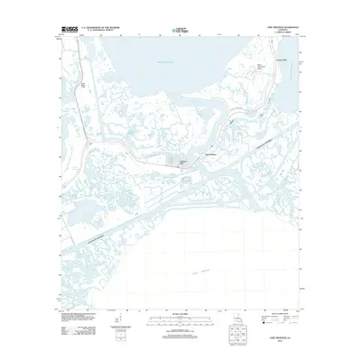 2012 Chef Menteur2012 Print · USGSCovers New Orleans, including Greens Ditch, Chef Menteur, and other nearby areas
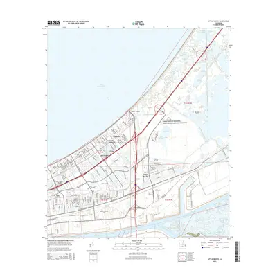
 - 2012 Map of Little Woods, 2012 Print
 2012 Little Woods2012 Print · USGSCovers New Orleans, including Michoud, Kingswood, and other nearby areas
 - 2012 Map of Rigolets, 2012 Print
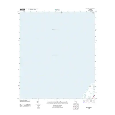
 2012 Rigolets2012 Print · USGSCovers New Orleans, including Avery Estates, Deer Island, and other nearby areas
 - 2012 Map of North Shore, 2012 Print
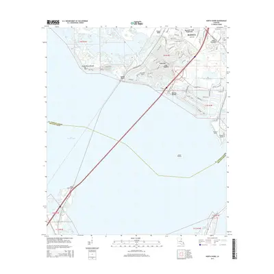
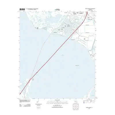 2012 North Shore2012 Print · USGSCovers New Orleans, including Slidell, Eden Isle, and other nearby areas
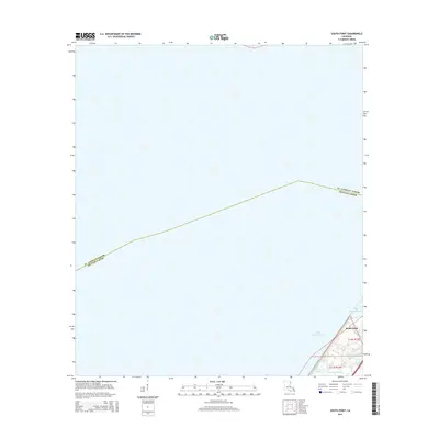
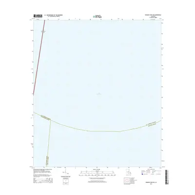
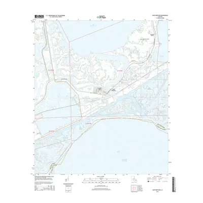
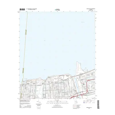
 - 2012 Map of Spanish Fort, 2012 Print
 2012 Spanish Fort2012 Print · USGSCovers New Orleans, including Lakeview, Jefferson Parish, and other nearby areas
 - 2012 Map of New Orleans West, 2012 Print
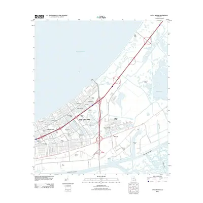
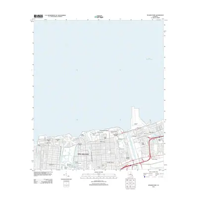
 2012 New Orleans West2012 Print · USGSCovers New Orleans, including Metairie, Kenner, and other nearby areas
 - 2012 Map of New Orleans East, 2012 Print
 2012 New Orleans East2012 Print · USGSCovers New Orleans, including Algiers, Gretna, and other nearby areas
 - 2012 Map of Spanish Fort NE, 2012 Print
 2012 Spanish Fort NE2012 Print · USGSCovers New Orleans, including Jefferson Parish, Orleans Parish, and other nearby areas
 - 2012 Map of Chalmette, 2012 Print
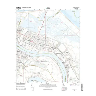
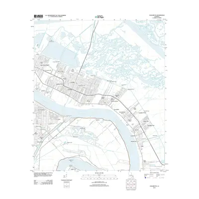 2012 Chalmette2012 Print · USGSCovers New Orleans, including Chalmette, Dauterive Trailer Park, and other nearby areas
 - 2012 Map of Martello Castle, 2012 Print
 2012 Martello Castle2012 Print · USGSCovers New Orleans, including Martello Castle, Orleans Parish, and other nearby areas
 - 2012 Map of Belle Chasse, 2012 Print
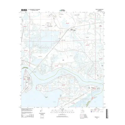
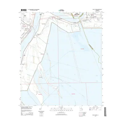
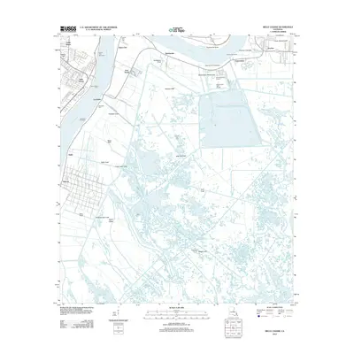 2012 Belle Chasse2012 Print · USGSCovers New Orleans, including Stella, Saint Clair, and other nearby areas
 - 2015 Map of South Point, 2015 Print
 2015 South Point2015 Print · USGSCovers New Orleans, including South Point, Orleans Parish, and other nearby areas
 - 2015 Map of North Shore, 2015 Print
 2015 North Shore2015 Print · USGSCovers New Orleans, including Slidell, Eden Isle, and other nearby areas
 - 2015 Map of Spanish Fort NE, 2015 Print
 2015 Spanish Fort NE2015 Print · USGSCovers New Orleans, including Jefferson Parish, Orleans Parish, and other nearby areas
 - 2015 Map of Rigolets, 2015 Print
 2015 Rigolets2015 Print · USGSCovers New Orleans, including Avery Estates, Deer Island, and other nearby areas
 - 2015 Map of Chef Menteur, 2015 Print
 2015 Chef Menteur2015 Print · USGSCovers New Orleans, including Greens Ditch, Chef Menteur, and other nearby areas
 - 2015 Map of Little Woods, 2015 Print
 2015 Little Woods2015 Print · USGSCovers New Orleans, including Michoud, Kingswood, and other nearby areas
 - 2015 Map of Alligator Point, 2015 Print
 2015 Alligator Point2015 Print · USGSCovers New Orleans, including Lake Catherine, Orleans Parish, and other nearby areas
 - 2015 Map of New Orleans East, 2015 Print
 2015 New Orleans East2015 Print · USGSCovers New Orleans, including Algiers, Gretna, and other nearby areas
 - 2015 Map of New Orleans West, 2015 Print
 2015 New Orleans West2015 Print · USGSCovers New Orleans, including Metairie, Kenner, and other nearby areas
 - 2015 Map of Spanish Fort, 2015 Print
 2015 Spanish Fort2015 Print · USGSCovers New Orleans, including Lakeview, Jefferson Parish, and other nearby areas
 - 2015 Map of Chalmette, 2015 Print
 2015 Chalmette2015 Print · USGSCovers New Orleans, including Chalmette, Dauterive Trailer Park, and other nearby areas
 - 2015 Map of Belle Chasse, 2015 Print
 2015 Belle Chasse2015 Print · USGSCovers New Orleans, including Stella, Saint Clair, and other nearby areas
Showing maps 1-25 of 65
Top cities near New Orleans
Top neighborhoods of New Orleans
- Kingswood historical maps
- Lake Carmel historical maps
- Ferncrest historical maps
- Versailles historical maps
- Village de L’Est historical maps
- Little Woods historical maps
See more
Frequently asked questions
- What are the different types of historical maps available for New Orleans?
- What is the oldest map of New Orleans?
- Where can I purchase historical maps of New Orleans for my home or office?
- Where can I download high-res historical maps of New Orleans?
- Are there historical topographic maps available for New Orleans?
- Is there historical aerial imagery available for New Orleans?
- Where are historical maps of New Orleans sourced from?