Old Maps of Forest Hill, Louisiana for Academic Research
Study the evolution of Forest Hill with 19 high-resolution historic maps. Whether you're teaching, researching, or modeling changes in land use, these maps provide essential visual documentation of urban, environmental, and geographic change.
- Analyze long-term change: Track patterns in development, transportation, and natural features.
- Ideal for environmental or urban studies: Support academic projects with primary historical map data.
- Use in the classroom or lab: Educators and researchers rely on these maps to bring historical context to life.
These maps are a powerful tool for teaching, research, and visualizing how Forest Hill has changed over the decades.
Forest Hill, LA maps
(19)- 1935 Map of Lecompte, 1949 Print
 1935 Lecompte1949 Print · USGSThe Red River valley south of Alexandria comes into focus in the mid-1930s, showing a landscape defined by meandering bayous and critical rail lines. Genealogists can locate family landmarks like Spring Hill Cem, St Johns Ch, and the town of Cheneyville.
 - 1953 Map of Alexandria, 1963 Print
 1953 Alexandria1963 Print · USGSCentral Louisiana during the early fifties is mapped here at the intersection of the piney woods and the Red River valley. Genealogists and historians can trace the rail-and-river network connecting towns like Alexandria, Natchitoches, and the grounds of Camp Beauregard.3 unique versions available
 - 1955 Map of Alexandria
 1955 Alexandria1955 Print · USGSCentral Louisiana in the mid-fifties is a landscape of river-port cities, sprawling timberlands, and massive military reservations. Genealogists and historians can trace the rail networks of the Texas & Pacific RR and locate sites like Camp Polk Military Reservation and Natchitoches.
 - 1956 Map of Forest Hill, 1957 Print
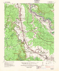
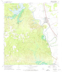
 1956 Forest Hill1957 Print · USGSRapides Parish was a landscape of timber and rural industry in the mid-fifties, shaped by the Missouri Pacific rail line and forest preserves. Genealogists and historians can trace family-named sites like Swann Cem, Elmer, and Amiable Ch.3 unique versions available
 - 1957 Map of Lecompte, 1958 Print
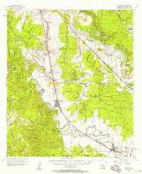 1957 Lecompte1958 Print · USGSCentral Louisiana in the mid-fifties reveals a landscape defined by the intricate winding of Bayou Boeuf and the fertile grounds of Bench Slough Plantation. Researchers can trace the heritage of local communities through landmarks like Lecompte Sch, Wise Cem, and the tracks of the Rock Island and Pacific RR.3 unique versions available
 - 1971 Map of Forest Hill, 1974 Print
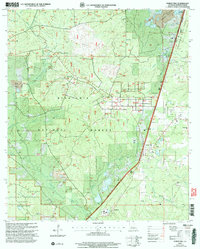
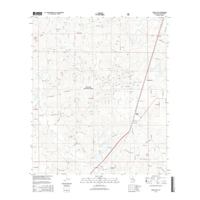
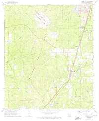 1971 Forest Hill1974 Print · USGSRapides Parish in the early 1970s is characterized by its expansive pine forests and the logistical corridor of the Missouri Pacific Railroad. Genealogists and local historians can locate several family cemeteries and churches, including Indian Creek Cem, Butters Cem, and Elwood Ch.2 unique versions available
 - 1972 Map of Lecompte, 1974 Print
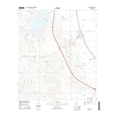
 1972 Lecompte1974 Print · USGSRapides Parish is shown during the early 1970s, as the rail corridor and forest reserves defined local life. Genealogists can trace family names at Pisgah Cem and Carnal Cem or locate the South Rapides Academy near Lecompte.3 unique versions available
 - 1986 Map of Alexandria
 1986 Alexandria1986 Print · USGSCentral Louisiana in the mid-eighties shows a landscape of strategic military installations and deep river-valley agriculture. Researchers can trace the footprints of England Air Force Base, Camp Beauregard, and the extensive Kisatchie National Forest.2 unique versions available
 - 2003 Map of Forest Hill, 2005 Print
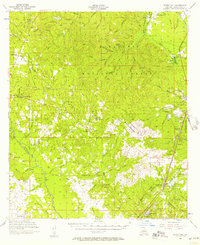
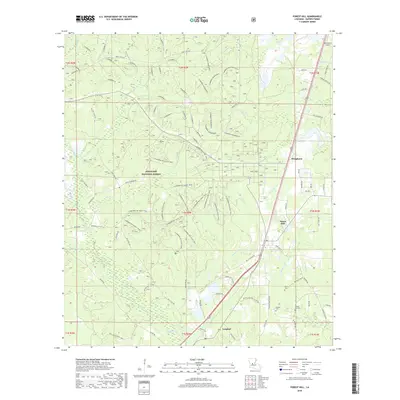
 2003 Forest Hill2005 Print · USGSThe pine forests of Rapides Parish come alive in this map, showing the intersection of Kisatchie National Forest and the timber-focused settlement of Longleaf. Researchers can trace rural life through landmarks like Amiable Ch, Liberty Hill Cem, and the Drag Strip.
 - 2012 Map of Lecompte, 2012 Print
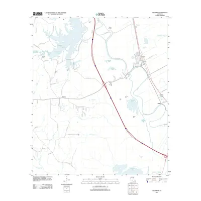 2012 Lecompte2012 Print · USGSCovers Forest Hill, including Lecompte, Meeker, and other nearby areas
 - 2012 Map of Forest Hill, 2012 Print
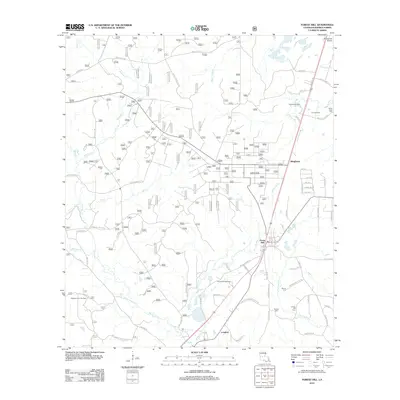 2012 Forest Hill2012 Print · USGSCovers Forest Hill, including Longleaf, Bringhurst, and other nearby areas
 - 2015 Map of Forest Hill, 2015 Print
 2015 Forest Hill2015 Print · USGSCovers Forest Hill, including Longleaf, Bringhurst, and other nearby areas
 - 2015 Map of Lecompte, 2015 Print
 2015 Lecompte2015 Print · USGSCovers Forest Hill, including Lecompte, Meeker, and other nearby areas
 - 2018 Map of Forest Hill, 2018 Print
 2018 Forest Hill2018 Print · USGSCovers Forest Hill, including Longleaf, Bringhurst, and other nearby areas
 - 2018 Map of Lecompte, 2018 Print
 2018 Lecompte2018 Print · USGSCovers Forest Hill, including Lecompte, Meeker, and other nearby areas
 - 2020 Map of Lecompte, 2020 Print
 2020 Lecompte2020 Print · USGSCovers Forest Hill, including Lecompte, Meeker, and other nearby areas
 - 2020 Map of Forest Hill, 2020 Print
 2020 Forest Hill2020 Print · USGSCovers Forest Hill, including Longleaf, Bringhurst, and other nearby areas
 - 2024 Map of Forest Hill, 2024 Print
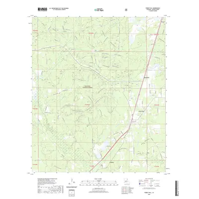
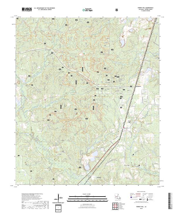 2024 Forest Hill2024 Print · USGSForest Hill and the surrounding pine woods of central Louisiana are documented here in the early twenty-first century. Genealogists and local researchers can trace family landmarks like Moore Cem, locate the small settlement of Longleaf, or follow the Claiborne Boy Scout Trl through the woods.
 - 2024 Map of Lecompte, 2024 Print
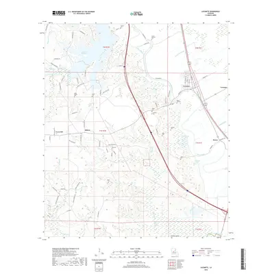
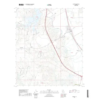
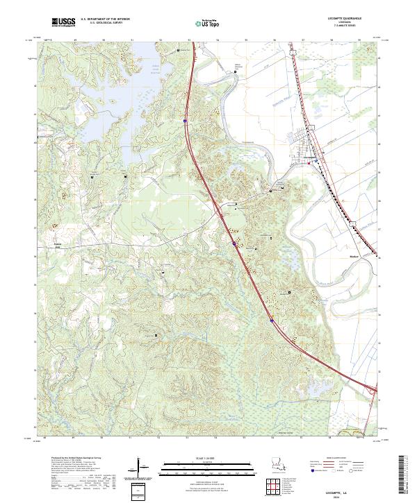 2024 Lecompte2024 Print · USGSLecompte and the Bayou Boeuf lowlands are documented in this recent survey of Rapides Parish. Genealogists and local historians can trace family locations through numerous named burial sites like Wilmer Memorial Cem, Meeker Cem, and Pisgah Cem.
End of results
Showing maps 1-19 of 19
Top cities near Forest Hill
- Alexandria historical maps
- Oakdale historical maps
- Glenmora historical maps
- Lecompte historical maps
- Woodworth historical maps
- Cheneyville historical maps
See more
Frequently asked questions
- What are the different types of historical maps available for Forest Hill?
- What is the oldest map of Forest Hill?
- Where can I purchase historical maps of Forest Hill for my home or office?
- Where can I download high-res historical maps of Forest Hill?
- Are there historical topographic maps available for Forest Hill?
- Is there historical aerial imagery available for Forest Hill?
- Where are historical maps of Forest Hill sourced from?