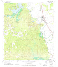
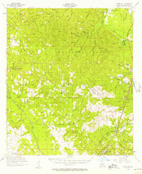
1972 Map of Lecompte
USGS Topo · Published 1974About this map
Alexander State Forest dominates the western half of this Rapides Parish landscape, where the Indian Creek Reservoir and the State Fish Hatchery reflect the region's managed natural resources in the early 1970s. The eastern portion transitions to the fertile alluvial plains of Bayou Boeuf, defined by the rail corridor of the Texas and Pacific and the Chicago Rock Island and Pacific railroads.
Find a feature on this map
60 named features on this map. Tap any name to fly to it.
Don’t see what you’re looking for? This feature index may not catch every label — zoom into the map to look around manually.
Map Details
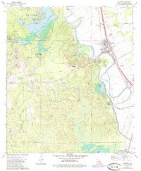
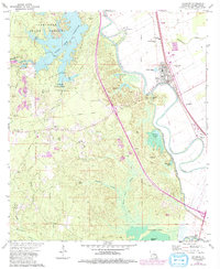
Editions of this 1972 Lecompte Map
3 editions found
Other maps of this area
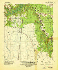
1935 · Turkey Creek
USGS Topo · 1:62,500
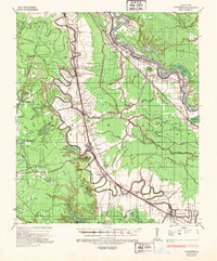
1935 · Lecompte
USGS Topo · 1:62,500
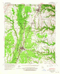
1942 · Oakdale
USGS Topo · 1:62,500
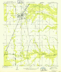
1949 · Glenmora
USGS Topo · 1:31,680
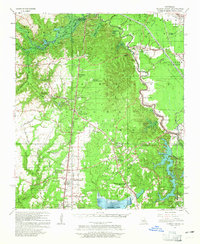
1949 · Turkey Creek
USGS Topo · 1:62,500

1952 · Lake Charles
USGS Topo · 1:250,000

1953 · Alexandria
USGS Topo · 1:250,000

1954 · Lake Charles
USGS Topo · 1:250,000

1955 · Alexandria
USGS Topo · 1:250,000
1956 · Forest Hill
USGS Topo · 1:62,500