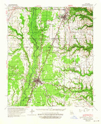
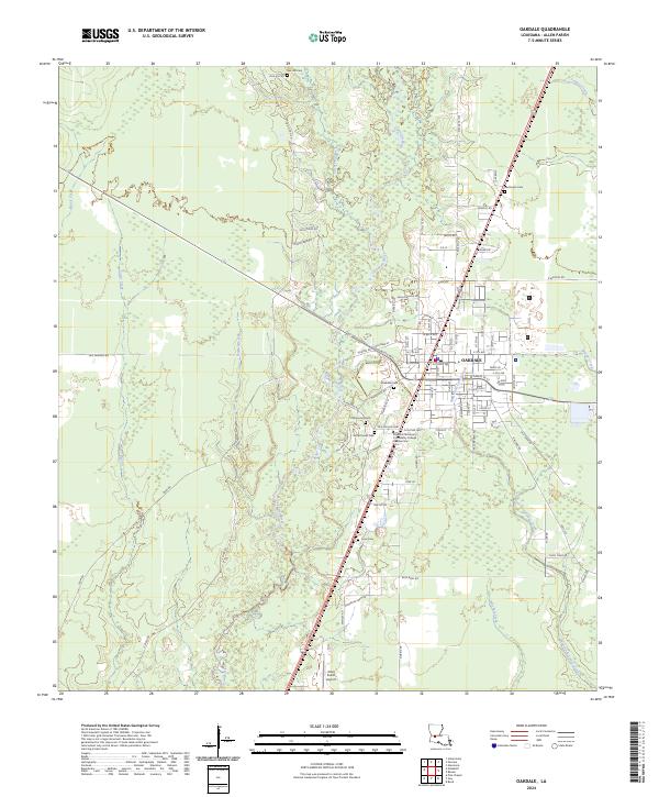
1942 Map of Oakdale
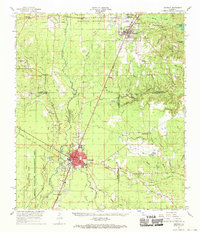
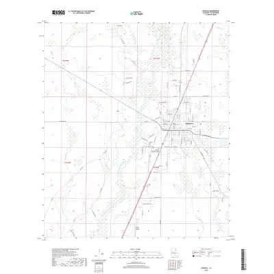
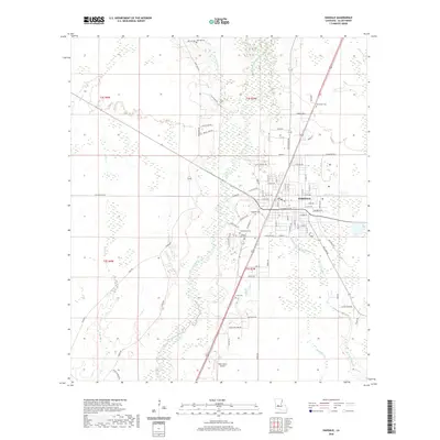
USGS Topo · Published 1964About this map
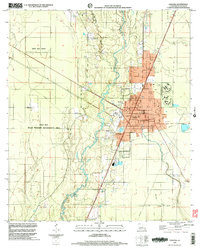
Oakdale serves as a central hub at the junction of the Gulf Colorado and Santa Fe and Missouri Pacific railroads during the early 1940s. This survey, conducted by the Corps of Engineers, details the transition from the timbered uplands of Rapides and Allen Parishes to the creek-fed bottomlands. The landscape is defined by the winding course of the Calcasieu River and its numerous tributaries, including Cherrywinche Creek and Sixmile Creek.
Find a feature on this map
44 named features on this map. Tap any name to fly to it.
Don’t see what you’re looking for? This feature index may not catch every label — zoom into the map to look around manually.
Map Details
Editions of this 1942 Oakdale Map
This is the sole edition of this map. No revisions or reprints were ever made.
Historical Maps of Oakdale Through Time
11 maps found
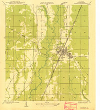
1935 Oakdale
Allen Parish, LA
1942 Oakdale
Allen Parish, LA
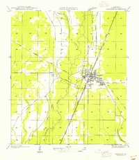
1955 Oakdale
Allen Parish, LA
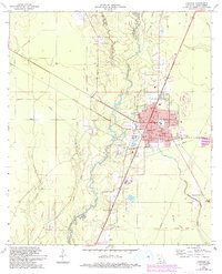
1968 Oakdale
Allen Parish, LA
1968 Oakdale
Allen Parish, LA
1998 Oakdale
Allen Parish, LA
2012 Oakdale
Allen Parish, LA
2015 Oakdale
Allen Parish, LA
2018 Oakdale
Allen Parish, LA
2020 Oakdale
Allen Parish, LA
2024 Oakdale
Allen Parish, LA