
1935 Map of Beaver
USGS Topo · Published 1935About this map
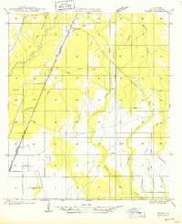
Cypress Creek Settlement and the small village of Beaver define the local geography of Evangeline Parish in the mid-1930s. This survey, compiled from aerial photographs, illustrates a landscape heavily shaped by the timber industry and a transition toward more permanent infrastructure. A complex network of the Old Logging Railroad Grade crisscrosses the terrain, indicating the historical reach of logging operations that once dominated this part of Louisiana.
Find a feature on this map
15 named features on this map. Tap any name to fly to it.
Don’t see what you’re looking for? This feature index may not catch every label — zoom into the map to look around manually.
Map Details
Editions of this 1935 Beaver Map
This is the sole edition of this map. No revisions or reprints were ever made.
Other maps of this area

1935 · Pawnee
USGS Topo · 1:31,680

1935 · Oakdale
USGS Topo · 1:31,680

1935 · Turkey Creek
USGS Topo · 1:62,500

1942 · Oakdale
USGS Topo · 1:62,500

1947 · Foley
USGS Topo · 1:31,680

1947 · Bond
USGS Topo · 1:31,680

1949 · Glenmora
USGS Topo · 1:31,680

1949 · Turkey Creek
USGS Topo · 1:62,500
1950 · Foley
USGS Topo · 1:31,680
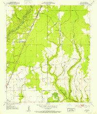
1951 · Guy
USGS Topo · 1:24,000