Old Maps of Timber Trails, Louisiana for Metal Detecting
Plan your next treasure hunt with 12 historic maps of Timber Trails. Find old homesites, ghost towns, trails, and gathering spots that may be lost to time — perfect for identifying promising metal detecting locations.
- Locate forgotten sites: Uncover places like long-lost settlements, abandoned rail lines, or gathering spots.
- Plan better hunts: Use map overlays combined with LiDAR or satellite views to narrow in on historically rich areas.
- Made for detectorists: Thousands of hobbyists use these maps to discover relics, coins, and hidden history.
Use these historic maps to boost your research and find new opportunities beneath the surface of Timber Trails.
Timber Trails, LA maps
(12)- 1941 Map of Alexandria, 1944 Print
 1941 Alexandria1944 Print · USGSRapides and Grant Parishes are captured here in the early 1940s as massive military training grounds expanded alongside established rail towns. Trace the footprints of Camp Livingston and Camp Beauregard or locate local landmarks like the Philadelphia Ch and Kolin.
 - 1953 Map of Alexandria, 1963 Print
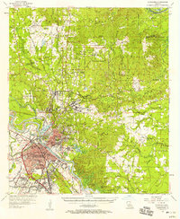
 1953 Alexandria1963 Print · USGSCentral Louisiana during the early fifties is mapped here at the intersection of the piney woods and the Red River valley. Genealogists and historians can trace the rail-and-river network connecting towns like Alexandria, Natchitoches, and the grounds of Camp Beauregard.3 unique versions available
 - 1955 Map of Alexandria
 1955 Alexandria1955 Print · USGSCentral Louisiana in the mid-fifties is a landscape of river-port cities, sprawling timberlands, and massive military reservations. Genealogists and historians can trace the rail networks of the Texas & Pacific RR and locate sites like Camp Polk Military Reservation and Natchitoches.
 - 1957 Map of Alexandria, 1958 Print
 1957 Alexandria1958 Print · USGSThe Red River valley in the late fifties shows the post-war growth of Alexandria and Pineville amidst a landscape of military and state institutions. Genealogists and historians can locate dozens of neighborhood schools, cemeteries like Sardis Cem, and the early layout of Camp Beauregard.2 unique versions available
 - 1972 Map of Ball, 1974 Print
 1972 Ball1974 Print · USGSRapides and Grant Parishes are captured here in the early seventies, dominated by the pine woods of the Kisatchie National Forest. Researchers can trace the military history of Camp Beauregard or locate local landmarks like Sardis Ch and the Pollock Municipal Airport.2 unique versions available
 - 1986 Map of Alexandria
 1986 Alexandria1986 Print · USGSCentral Louisiana in the mid-eighties shows a landscape of strategic military installations and deep river-valley agriculture. Researchers can trace the footprints of England Air Force Base, Camp Beauregard, and the extensive Kisatchie National Forest.2 unique versions available
 - 2003 Map of Ball, 2005 Print
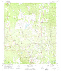
 2003 Ball2005 Print · USGSLouisiana's pine-forested parish line comes to life in this early 2000s survey of the growing corridor north of Alexandria. Researchers can trace the footprints of Camp Beauregard, locate Sardis Ch, or find historical cemetery sites like Venus Cem.
 - 2012 Map of Ball, 2012 Print
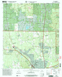
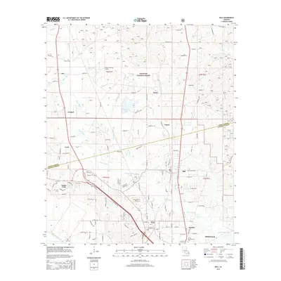
 2012 Ball2012 Print · USGSCovers Timber Trails, including Pineville, Ball, and other nearby areas
 - 2015 Map of Ball, 2015 Print
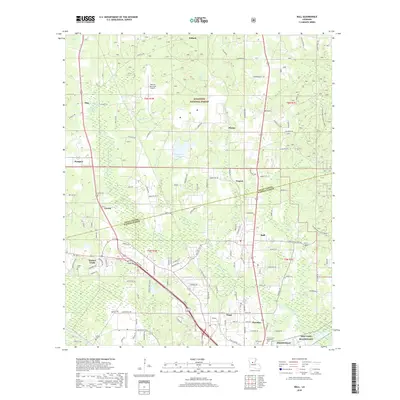
 2015 Ball2015 Print · USGSCovers Timber Trails, including Pineville, Ball, and other nearby areas
 - 2018 Map of Ball, 2018 Print
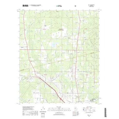
 2018 Ball2018 Print · USGSCovers Timber Trails, including Pineville, Ball, and other nearby areas
 - 2020 Map of Ball, 2020 Print
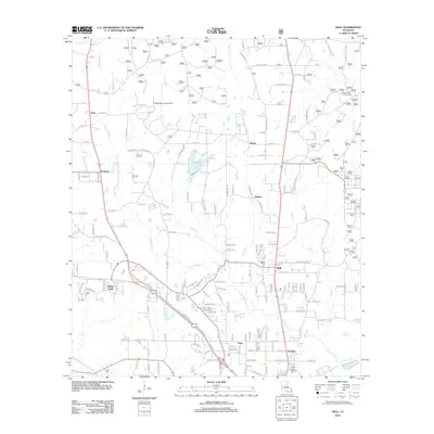
 2020 Ball2020 Print · USGSCovers Timber Trails, including Pineville, Ball, and other nearby areas
 - 2024 Map of Ball, 2024 Print
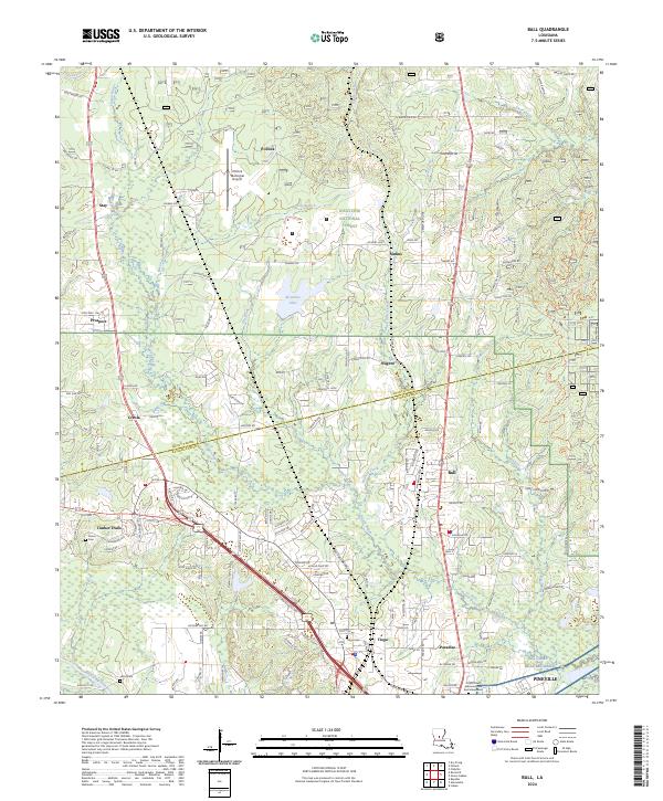 2024 Ball2024 Print · USGSThe border of Grant and Rapides Parishes comes into focus here, showing the growth of Ball and Pineville. Genealogists can trace family sites at Tioga Cem or follow the water along Flagon Bayou and Bayou Rigolette.
End of results
Showing maps 1-12 of 12
Top cities near Timber Trails
- Alexandria historical maps
- Pineville historical maps
- Ball historical maps
- Colfax historical maps
- Boyce historical maps
- Dry Prong historical maps
See more
Frequently asked questions
- What are the different types of historical maps available for Timber Trails?
- What is the oldest map of Timber Trails?
- Where can I purchase historical maps of Timber Trails for my home or office?
- Where can I download high-res historical maps of Timber Trails?
- Are there historical topographic maps available for Timber Trails?
- Is there historical aerial imagery available for Timber Trails?
- Where are historical maps of Timber Trails sourced from?