Old Maps of Crosskeys, Louisiana for Academic Research
Study the evolution of Crosskeys with 13 high-resolution historic maps. Whether you're teaching, researching, or modeling changes in land use, these maps provide essential visual documentation of urban, environmental, and geographic change.
- Analyze long-term change: Track patterns in development, transportation, and natural features.
- Ideal for environmental or urban studies: Support academic projects with primary historical map data.
- Use in the classroom or lab: Educators and researchers rely on these maps to bring historical context to life.
These maps are a powerful tool for teaching, research, and visualizing how Crosskeys has changed over the decades.
Crosskeys, LA maps
(13)- 1941 Map of East Point
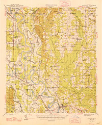
 1941 East Point1941 Print · USGSThe Red River Valley bottomlands are captured here in the late 1930s, showing a network of riverfront settlements and rural parish life. Researchers can trace family history through numerous landmarks like Elizabeth Church, Crichton School, and the St Marks Cemetery near the Bayou Toulon.
 - 1948 Map of Coushatta
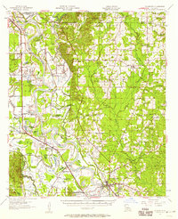
 1948 Coushatta1948 Print · USGSRed River Parish and the surrounding hill country are captured here just after the war, showing the intricate river-and-rail network. Genealogists can trace family names through dozens of landmarks like Elizabeth Sch, St Pauls Cem, and Hall Summit.
 - 1955 Map of Shreveport
 1955 Shreveport1955 Print · USGSNorthern Louisiana in the mid-fifties is captured here as a landscape of military bases, vast oil fields, and burgeoning college towns. Genealogists and historians can trace the rail-and-river economy through the Monroe Gas Field, Grambling College, and Barksdale Air Force Base.3 unique versions available
 - 1956 Map of Shreveport
 1956 Shreveport1956 Print · USGSNorthern Louisiana during the mid-fifties presents a complex landscape of booming oil fields and strategic military installations. Genealogists and historians can trace the infrastructure of the Monroe Gas Field and family-named locales from Cotton Valley to Jonesboro.
 - 1957 Map of Coushatta, 1958 Print
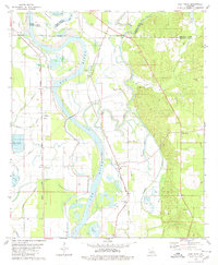
 1957 Coushatta1958 Print · USGSMid-century Red River Parish is revealed here through its intricate river bends and small rural communities. Genealogists can trace family roots through numerous local landmarks like Hall Summit, Social Springs, and the Susie Island Sch (Abandoned).4 unique versions available
 - 1979 Map of East Point, 1980 Print
 1979 East Point1980 Print · USGSRed River Parish in the late seventies is defined by the winding Red River and the rural communities clustered along its fertile banks. Genealogists and local historians can locate several country churches and cemeteries, including St Marks Cem, True Vine Ch, and the community of East Point.
 - 1984 Map of Shreveport
 1984 Shreveport1984 Print · USGSNorthern Louisiana at the peak of the 1980s reveals a landscape of massive water management projects and Cold War military hubs. Trace the rail lines of the Kansas City Southern Ry past Barksdale Air Force Base and the high ground of Driskill Mountain.2 unique versions available
 - 1985 Map of Shreveport South
 1985 Shreveport South1985 Print · USGSNorthwest Louisiana in the mid-eighties shows a landscape defined by the Red River and a transition from urban centers to deep timberland. Researchers can trace the rail-and-river economy through landmarks like Barksdale Air Force Base, the Sligo Oil and Gas Field, and Lake Bistineau.2 unique versions available
 - 2012 Map of East Point, 2012 Print
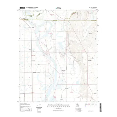
 2012 East Point2012 Print · USGSCovers Crosskeys, including Loggy Bayou, Williams, and other nearby areas
 - 2015 Map of East Point, 2015 Print
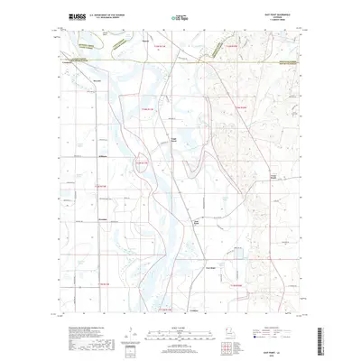
 2015 East Point2015 Print · USGSCovers Crosskeys, including Loggy Bayou, Williams, and other nearby areas
 - 2018 Map of East Point, 2018 Print
 2018 East Point2018 Print · USGSCovers Crosskeys, including Loggy Bayou, Williams, and other nearby areas
 - 2020 Map of East Point, 2020 Print
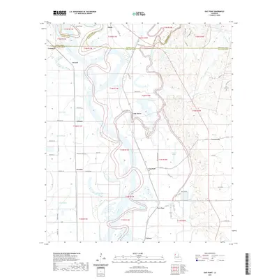 2020 East Point2020 Print · USGSCovers Crosskeys, including Loggy Bayou, Williams, and other nearby areas
 - 2024 Map of East Point, 2024 Print
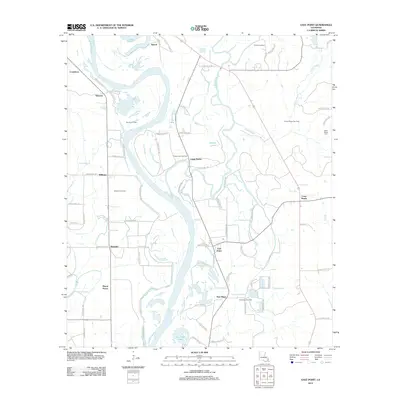
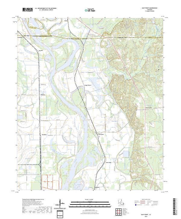 2024 East Point2024 Print · USGSThe Red River valley south of Shreveport comes into focus here in the early twenty-first century, showing a landscape shaped by shifting water and parish lines. Genealogists and researchers can locate the Saint Marks Cem and old river communities like East Point and Westdale.
End of results
Showing maps 1-13 of 13
Top cities near Crosskeys
- Shreveport historical maps
- Bossier City historical maps
- Mansfield historical maps
- Coushatta historical maps
- Ringgold historical maps
- South Mansfield historical maps
See more
Frequently asked questions
- What are the different types of historical maps available for Crosskeys?
- What is the oldest map of Crosskeys?
- Where can I purchase historical maps of Crosskeys for my home or office?
- Where can I download high-res historical maps of Crosskeys?
- Are there historical topographic maps available for Crosskeys?
- Is there historical aerial imagery available for Crosskeys?
- Where are historical maps of Crosskeys sourced from?