Old Maps of Fisher, Louisiana for Genealogy
Trace your family roots with 24 historic maps of Fisher. These high-res maps reveal old neighborhoods, homesites, landmarks, and streets — helping you uncover where your ancestors lived and how the area evolved over time.
- Explore historic neighborhoods: Identify where your relatives may have lived in the 1800s or 1900s.
- Compare maps over time: Trace the changes in streets, buildings, and landmarks for multi-generational research.
- Perfect for genealogy & ancestry research: Used by family historians and researchers to map out lineage and migration.
These maps are an incredible resource for exploring your personal connection to Fisher's past.
Fisher, LA maps
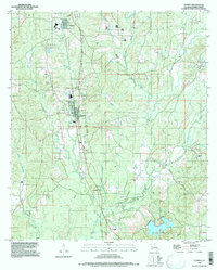
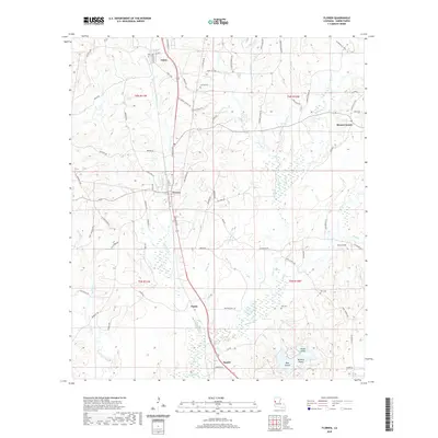
(24)- 1942 Map of Many
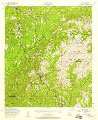
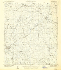 1942 Many1942 Print · USGSSabine and Natchitoches Parishes are shown here in the early 1940s, a landscape defined by timber, railroads, and tight-knit rural communities. You can trace early family sites at Fort Jesup, find remote country schools like Armstrong Sch, and locate the CCC Camp.2 unique versions available
 - 1942 Map of Florien
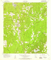
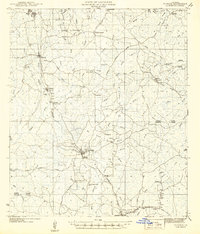 1942 Florien1942 Print · USGSThe timber and rail corridor of the Louisiana pinewoods is captured here in the early 1940s as the Kansas City Southern railroad links small mill towns. Family historians can trace local roots through numerous rural landmarks like Sibley Cem, Mount Carmel, and Pine Grove Ch.
 - 1943 Map of Many
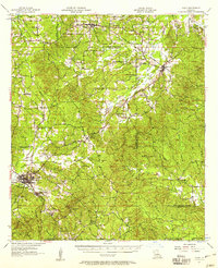
 1943 Many1943 Print · USGSSabine Parish during the early years of the war shows a landscape of timber camps and rail-dependent villages. Genealogists can trace family names through dozens of landmarks like Mt Carmel Cem, Fort Jesup, and the CCC Camp.
 - 1944 Map of Florien
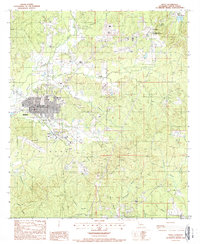
 1944 Florien1944 Print · USGSMid-century Sabine and Vernon Parishes center on the timber and rail economy along the Kansas City Southern. Genealogists can trace family roots through numerous rural landmarks like Lewing Cem, Plainview Sch, and Pratts Chapel.
 - 1953 Map of Alexandria, 1963 Print
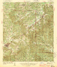
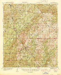
 1953 Alexandria1963 Print · USGSCentral Louisiana during the early fifties is mapped here at the intersection of the piney woods and the Red River valley. Genealogists and historians can trace the rail-and-river network connecting towns like Alexandria, Natchitoches, and the grounds of Camp Beauregard.3 unique versions available
 - 1954 Map of Florien, 1958 Print
 1954 Florien1958 Print · USGSSabine and Vernon Parishes come into focus during the mid-fifties, showing the intersection of logging rail lines and expanding military terrain. Genealogists can locate family landmarks such as Old Pilgrim Star Church Cem, Plainview School, and the busy rail stops at Hornbeck and Florien.3 unique versions available
 - 1954 Map of Florien, 1958 Print
 1954 Florien1958 Print · USGSSabine Parish in the mid-fifties is captured here as a landscape of timber and rail, centered on the Kansas City Southern line. Genealogists can trace local roots through the Plainview School and numerous rural congregations like Ebenezer Church and Lehigh Chapel.2 unique versions available
 - 1955 Map of Alexandria
 1955 Alexandria1955 Print · USGSCentral Louisiana in the mid-fifties is a landscape of river-port cities, sprawling timberlands, and massive military reservations. Genealogists and historians can trace the rail networks of the Texas & Pacific RR and locate sites like Camp Polk Military Reservation and Natchitoches.
 - 1957 Map of Many, 1958 Print
 1957 Many1958 Print · USGSWestern Louisiana in the late fifties was a landscape of deep bayous and scattered parish outposts. Researchers can trace the legacy of Fort Jesup and locate rural landmarks like Vowells Mill, Marthaville, and numerous family churches.3 unique versions available
 - 1986 Map of Natchitoches
 1986 Natchitoches1986 Print · USGSNorthwestern Louisiana during the mid-eighties shows a landscape shaped by major water projects and timberlands. Researchers can trace historic routes like the Old Spanish Trail or locate rural communities such as Fort Jesup, Fairview Alpha, and Grappes Bluff.2 unique versions available
 - 1986 Map of Leesville, 1988 Print
 1986 Leesville1988 Print · USGSThe Louisiana-Texas borderlands in the mid-eighties centered on the vast Toledo Bend Reservoir and the timber-rich piney woods. Researchers can trace the Kansas City Southern RR corridor or locate old communities like Wiergate, Rosevine, and Sandel.
 - 1988 Map of Many
 1988 Many1988 Print · USGSIn the late 1980s, the area around the Sabine Parish seat was a mix of municipal growth and deep-rooted frontier history. Genealogists and researchers can locate several rural Cem sites and trace the historic grounds of the Fort Jesup State Commemorative Area.
 - 1994 Map of Many, 1997 Print
 1994 Many1997 Print · USGSSabine Parish and the town of Many are captured in the mid-nineties, showing a landscape of small settlements and timber-rich creek bottoms. Genealogists and historians can trace the grounds of Fort Jesup, the streets of Fisher, and the waters of Harpoon Bayou.
 - 1997 Map of Florien
 1997 Florien1997 Print · USGSSabine Parish in the late nineties remains a landscape of timber-industry towns and quiet upland bayous. Genealogists and local historians can trace family locations through Sibley Cem, the small community of Grandy, and landmarks along Toro Bayou.
 - 2012 Map of Many, 2012 Print
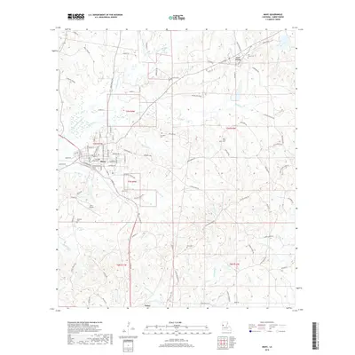
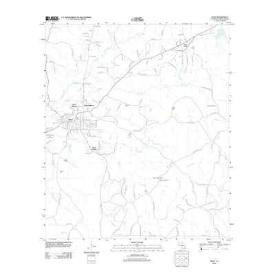 2012 Many2012 Print · USGSCovers Fisher, including Many, Fort Jesup, and other nearby areas
 - 2012 Map of Florien, 2012 Print
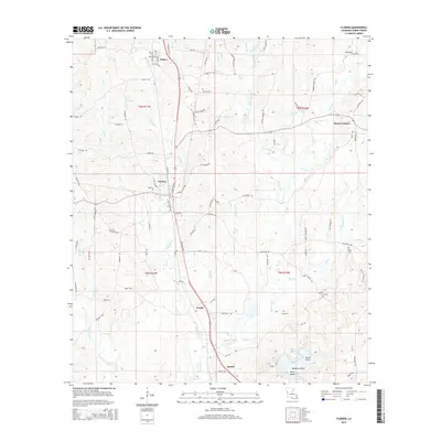
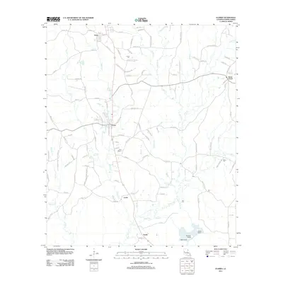 2012 Florien2012 Print · USGSCovers Fisher, including Florien, Sandel, and other nearby areas
 - 2015 Map of Many, 2015 Print
 2015 Many2015 Print · USGSCovers Fisher, including Many, Fort Jesup, and other nearby areas
 - 2015 Map of Florien, 2015 Print
 2015 Florien2015 Print · USGSCovers Fisher, including Florien, Sandel, and other nearby areas
 - 2018 Map of Many, 2018 Print
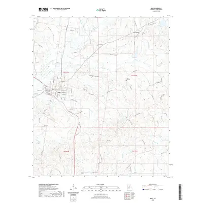
 2018 Many2018 Print · USGSCovers Fisher, including Many, Fort Jesup, and other nearby areas
 - 2018 Map of Florien, 2018 Print
 2018 Florien2018 Print · USGSCovers Fisher, including Florien, Sandel, and other nearby areas
 - 2020 Map of Many, 2020 Print
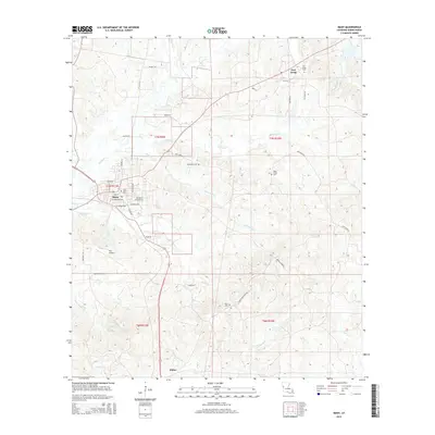
 2020 Many2020 Print · USGSCovers Fisher, including Many, Fort Jesup, and other nearby areas
 - 2020 Map of Florien, 2020 Print
 2020 Florien2020 Print · USGSCovers Fisher, including Florien, Sandel, and other nearby areas
 - 2024 Map of Florien, 2024 Print
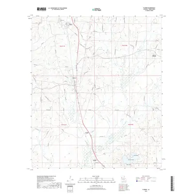
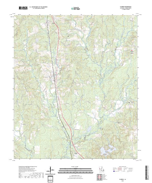 2024 Florien2024 Print · USGSSabine Parish at the modern day reveals a landscape of timber-lined ridges and creek-bottom settlements. Genealogists and local historians can trace the rural layout of Fisher, Mount Carmel, and Sibley Cem across this detailed terrain.
 - 2024 Map of Many, 2024 Print
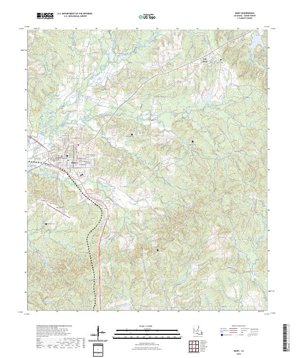 2024 Many2024 Print · USGSSabine Parish enters the mid-2020s with its seat of government at Many and the historic frontier outpost of Fort Jesup nearby. Genealogists and local historians can trace family burial sites like Saint Johns Cem or find landmarks such as the Sabine Parish Courthouse.
End of results
Showing maps 1-24 of 24
Top cities near Fisher
- Many historical maps
- Zwolle historical maps
- Anacoco historical maps
- Florien historical maps
- Hornbeck historical maps
- Noble historical maps
See more
Frequently asked questions
- What are the different types of historical maps available for Fisher?
- What is the oldest map of Fisher?
- Where can I purchase historical maps of Fisher for my home or office?
- Where can I download high-res historical maps of Fisher?
- Are there historical topographic maps available for Fisher?
- Is there historical aerial imagery available for Fisher?
- Where are historical maps of Fisher sourced from?