Old Maps of Breaux Bridge, Louisiana for Metal Detecting
Plan your next treasure hunt with 22 historic maps of Breaux Bridge. Find old homesites, ghost towns, trails, and gathering spots that may be lost to time — perfect for identifying promising metal detecting locations.
- Locate forgotten sites: Uncover places like long-lost settlements, abandoned rail lines, or gathering spots.
- Plan better hunts: Use map overlays combined with LiDAR or satellite views to narrow in on historically rich areas.
- Made for detectorists: Thousands of hobbyists use these maps to discover relics, coins, and hidden history.
Use these historic maps to boost your research and find new opportunities beneath the surface of Breaux Bridge.
Breaux Bridge, LA maps
(22)- 1940 Map of Arnaudville, 1964 Print
 1940 Arnaudville1964 Print · USGSThe Cajun heartland of the 1940s is detailed here as it manages its complex relationship with the Atchafalaya. Genealogists can trace family names through landmarks like Le Bourgeois Plantation, Magenta Plantation, and the St Elizabeth Ch & Sch.
 - 1954 Map of Baton Rouge, 1974 Print
 1954 Baton Rouge1974 Print · USGSSoutheast Louisiana in the mid-fifties is captured here during a period of transition for its river and rail economies. Researchers can trace the path of the Mississippi River and find landmarks like the Bonnet Carre Spillway and Bayou Plaquemine.2 unique versions available
 - 1956 Map of Baton Rouge
 1956 Baton Rouge1956 Print · USGSSouth Louisiana at the height of the mid-century oil boom shows a landscape of river oxbows and rising industry. Researchers can trace family roots through river towns like Scotlandville or locate early industrial sites and Oil wells near Lake Maurepas.
 - 1961 Map of Baton Rouge, 1966 Print
 1961 Baton Rouge1966 Print · USGSSoutheastern Louisiana in the early sixties remains a landscape of deep river bends and sprawling coastal lakes. Genealogists and historians can trace the rail-and-river economy through landmarks like Free-Nigger Point, Donaldsonville, and the Illinois Central Railroad.
 - 1962 Map of Baton Rouge
 1962 Baton Rouge1962 Print · USGSSouth Louisiana in the early sixties reveals a landscape of river-bend parishes and emerging interstate corridors. Genealogists and historians can trace family roots through historic river towns like Donaldsonville and Plaquemine, or follow the path of the Illinois Central Railroad through the swamp basins.
 - 1963 Map of Arnaudville, 1966 Print
 1963 Arnaudville1966 Print · USGSThe Acadiana region comes alive in this mid-century survey of the Bayou Teche country and the Atchafalaya Basin. Local historians can trace family-named sites like La Bourgeois Plantation and Nina Station, alongside old gathering places such as Ring Zion Ch. & Cem.2 unique versions available
 - 1970 Map of Cecilia, 1972 Print
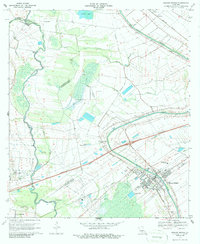
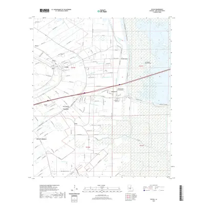
 1970 Cecilia1972 Print · USGSSt. Martin Parish in the early seventies shows a landscape where the Atchafalaya swamplands meet the historic Bayou Teche settlements. Genealogists and historians can locate family landmarks like Our Lady of Mercy Cem or trace the early days of Crawfish Farms and Bordelon Airpark.
 - 1970 Map of Arnaudville, 1972 Print
 1970 Arnaudville1972 Print · USGSThe heart of Acadiana is captured here in the early seventies as Cajun communities grew along the winding Bayou Teche. Genealogists and historians can trace family roots through sites like Ridge Zion Cem, Leonville Sch, and the Missouri Pacific Railroad corridor.2 unique versions available
 - 1970 Map of Breaux Bridge, 1972 Print
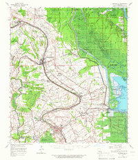
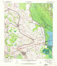
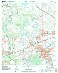
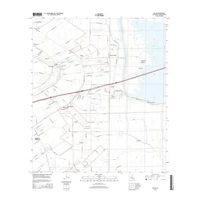
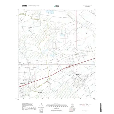
 1970 Breaux Bridge1972 Print · USGSBreaux Bridge and the surrounding Cajun heartland are shown here in the early seventies, where water and industry shape the landscape. Genealogists and historians can trace family sites from Anse La Butte to Bushville or locate Strauss Cem and the Anse La Butte Oil and Gas Field.3 unique versions available
 - 1984 Map of Baton Rouge
 1984 Baton Rouge1984 Print · USGSBaton Rouge and the surrounding river country are captured in the mid-eighties as the industrial corridor met the deep wetlands of the basin. Researchers can trace the winding Bayou Teche, locate family roots in St Martinville, or study the massive Atchafalaya Basin Floodway.2 unique versions available
 - 1998 Map of Breaux Bridge, 2000 Print
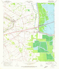
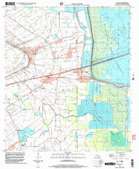
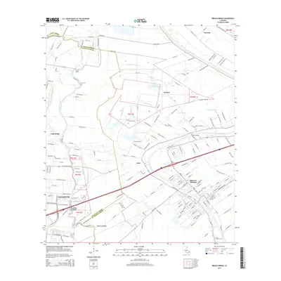
 1998 Breaux Bridge2000 Print · USGSBreaux Bridge and the surrounding Cajun heartland appear in the late nineties as a landscape defined by its historic bayous and oil industry. Researchers can trace family sites at St Bernard Cem or explore the old transport routes of the Old Railroad Grade and Bayou Teche.
 - 1998 Map of Cecilia, 2003 Print
 1998 Cecilia2003 Print · USGSSt. Martin Parish in the late nineties shows a landscape balanced between Bayou Teche settlement and the Atchafalaya basin. Researchers can locate family landmarks like Our Lady of Mercy Cem or trace the early foundations of Nina Station and Henderson.
 - 2012 Map of Cecilia, 2012 Print
 2012 Cecilia2012 Print · USGSCovers Breaux Bridge, including Henderson, Champagne, and other nearby areas
 - 2012 Map of Breaux Bridge, 2012 Print
 2012 Breaux Bridge2012 Print · USGSCovers Breaux Bridge, including Lafayette, Carencro, and other nearby areas
 - 2015 Map of Cecilia, 2015 Print
 2015 Cecilia2015 Print · USGSCovers Breaux Bridge, including Henderson, Champagne, and other nearby areas
 - 2015 Map of Breaux Bridge, 2015 Print
 2015 Breaux Bridge2015 Print · USGSCovers Breaux Bridge, including Lafayette, Carencro, and other nearby areas
 - 2018 Map of Breaux Bridge, 2018 Print
 2018 Breaux Bridge2018 Print · USGSCovers Breaux Bridge, including Lafayette, Carencro, and other nearby areas
 - 2018 Map of Cecilia, 2018 Print
 2018 Cecilia2018 Print · USGSCovers Breaux Bridge, including Henderson, Champagne, and other nearby areas
 - 2020 Map of Breaux Bridge, 2020 Print
 2020 Breaux Bridge2020 Print · USGSCovers Breaux Bridge, including Lafayette, Carencro, and other nearby areas
 - 2020 Map of Cecilia, 2020 Print
 2020 Cecilia2020 Print · USGSCovers Breaux Bridge, including Henderson, Champagne, and other nearby areas
 - 2024 Map of Cecilia, 2024 Print
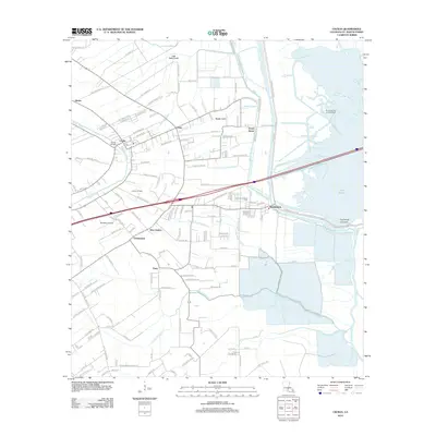
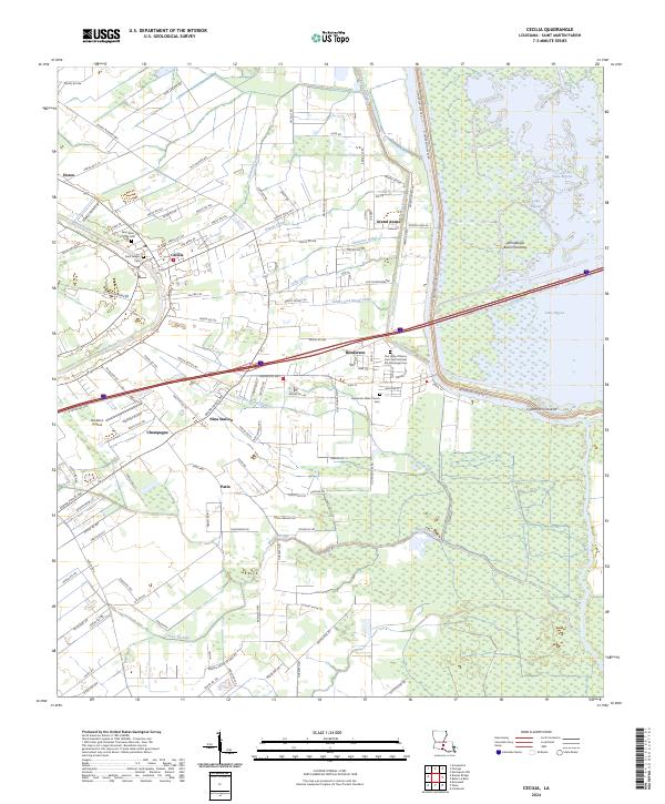 2024 Cecilia2024 Print · USGSLower St. Martin Parish is shown in the early twenty-first century as it balances Bayou Teche life with the vast Atchafalaya Basin. Researchers can trace family sites at Saint Rose of Lima Cem or explore the area around Nina Station and Bordelon Airpark.
 - 2024 Map of Breaux Bridge, 2024 Print
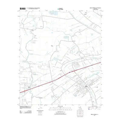
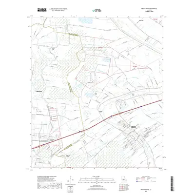
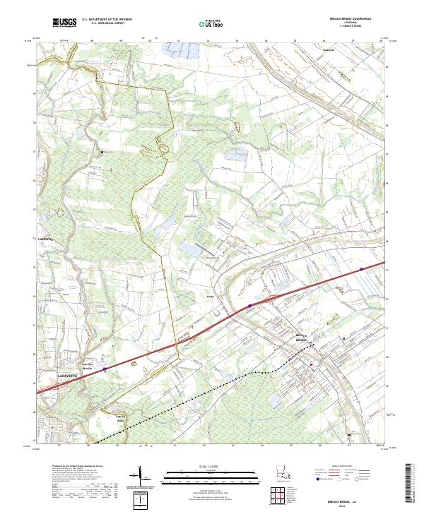 2024 Breaux Bridge2024 Print · USGSThe heart of Acadiana is documented here in the early twenty-first century, showing the expansion of Breaux Bridge along the historic Bayou Teche. Researchers can trace local lineage through Saint Bernard Cem or locate the rural communities of Gecko and Bushville.
End of results
Showing maps 1-22 of 22
Top cities near Breaux Bridge
- Lafayette historical maps
- Opelousas historical maps
- Scott historical maps
- Carencro historical maps
- Youngsville historical maps
- Sunset historical maps
See more
Frequently asked questions
- What are the different types of historical maps available for Breaux Bridge?
- What is the oldest map of Breaux Bridge?
- Where can I purchase historical maps of Breaux Bridge for my home or office?
- Where can I download high-res historical maps of Breaux Bridge?
- Are there historical topographic maps available for Breaux Bridge?
- Is there historical aerial imagery available for Breaux Bridge?
- Where are historical maps of Breaux Bridge sourced from?