Old Maps of Boretta, Louisiana for Academic Research
Study the evolution of Boretta with 12 high-resolution historic maps. Whether you're teaching, researching, or modeling changes in land use, these maps provide essential visual documentation of urban, environmental, and geographic change.
- Analyze long-term change: Track patterns in development, transportation, and natural features.
- Ideal for environmental or urban studies: Support academic projects with primary historical map data.
- Use in the classroom or lab: Educators and researchers rely on these maps to bring historical context to life.
These maps are a powerful tool for teaching, research, and visualizing how Boretta has changed over the decades.
Boretta, LA maps
(12)- 1948 Map of Bunkie, 1950 Print
 1948 Bunkie1950 Print · USGSThe Bunkie area during the late 1940s reveals a landscape defined by Bayou Boeuf and a dense network of early oil infrastructure. Genealogists can trace family roots through numerous rural landmarks like St Lukes Ch & Cem and the Goudeau Sch.
 - 1952 Map of Lake Charles
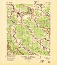
 1952 Lake Charles1952 Print · USGSSouthwest Louisiana is captured here in the mid-fifties, showing a landscape defined by the rise of the petrochemical industry and deep-water navigation. Researchers can trace family roots through numerous small-town settlements and oil developments like Nibletts Bluff, the Lockport Oil Field, and Starks.
 - 1954 Map of Lake Charles, 1964 Print
 1954 Lake Charles1964 Print · USGSSouthwest Louisiana in the mid-fifties is defined by its massive petroleum industry and its complex network of bayous and rail lines. Researchers can trace the development of the Sulphur Mines Oil Field or locate historic settlements like Longville and De Quincy.3 unique versions available
 - 1965 Map of Morrow, 1967 Print
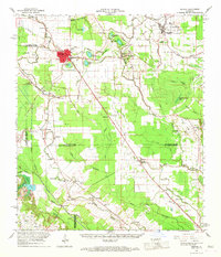
 1965 Morrow1967 Print · USGSThe borderlands of St. Landry and Avoyelles Parishes were a grid of rail-side settlements and bayou-side farms in the mid-sixties. Local history researchers can trace the old rail corridors of the Texas and Pacific and locate rural landmarks like Lincoln Sch and Morrow Cem.2 unique versions available
 - 1966 Map of Bunkie, 1967 Print
 1966 Bunkie1967 Print · USGSBunkie and the surrounding bayou country are captured in the mid-1960s as the regional rail and oil economies flourished. Genealogists can locate family landmarks like Lincoln Sch, Snowden Cem, and the Morning Star Ch Cem near Evergreen.
 - 1986 Map of Ville Platte
 1986 Ville Platte1986 Print · USGSCentral Louisiana in the 1980s reveals a complex landscape of pine forests and bayou networks spanning seven distinct parishes. Researchers can trace historic rail lines like the Atchison Topeka and Santa Fe RR and locate settlements such as Simmons Settlement, Redland, and Elizabeth.2 unique versions available
 - 1998 Map of Morrow, 2002 Print
 1998 Morrow2002 Print · USGSThe rural borderlands of St. Landry and Avoyelles Parish come to life in the late nineties, centered on the rail-side community of Morrow. Genealogists and historians can trace several local congregations and burial sites, from Little Rock Ch to the Snowden Cem along Gum Ridge.
 - 2012 Map of Morrow, 2012 Print
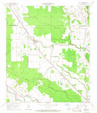
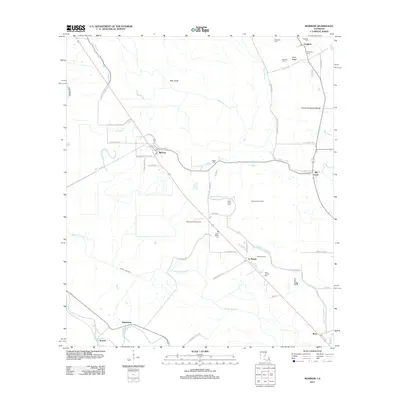 2012 Morrow2012 Print · USGSCovers Boretta, including Goudeau, Big Cane, and other nearby areas
 - 2015 Map of Morrow, 2015 Print
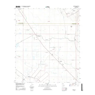 2015 Morrow2015 Print · USGSCovers Boretta, including Goudeau, Big Cane, and other nearby areas
 - 2018 Map of Morrow, 2018 Print
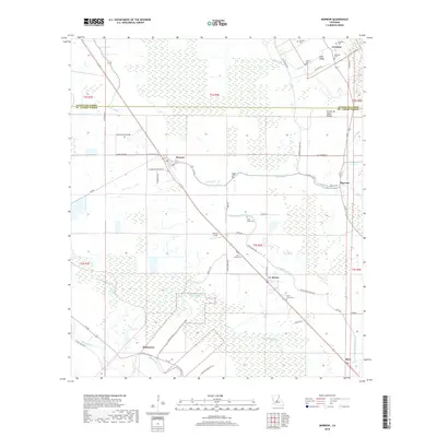 2018 Morrow2018 Print · USGSCovers Boretta, including Goudeau, Big Cane, and other nearby areas
 - 2020 Map of Morrow, 2020 Print
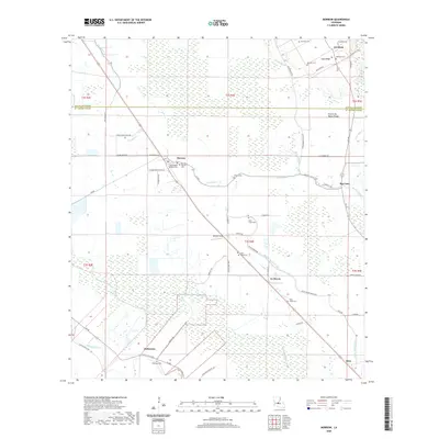 2020 Morrow2020 Print · USGSCovers Boretta, including Goudeau, Big Cane, and other nearby areas
 - 2024 Map of Morrow, 2024 Print
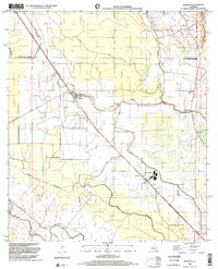
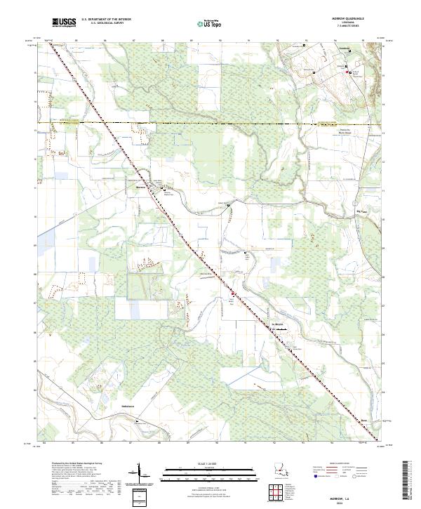 2024 Morrow2024 Print · USGSCurrent-day St. Landry Parish retains its deep agricultural and religious roots near the Avoyelles border. Genealogists can locate family landmarks such as Antioch Baptist Church, Dubuisson Cem, and the old settlement at Big Cane.
End of results
Showing maps 1-12 of 12
Top cities near Boretta
- Opelousas historical maps
- Ville Platte historical maps
- Bunkie historical maps
- Port Barre historical maps
- Cottonport historical maps
- Washington historical maps
See more
Frequently asked questions
- What are the different types of historical maps available for Boretta?
- What is the oldest map of Boretta?
- Where can I purchase historical maps of Boretta for my home or office?
- Where can I download high-res historical maps of Boretta?
- Are there historical topographic maps available for Boretta?
- Is there historical aerial imagery available for Boretta?
- Where are historical maps of Boretta sourced from?