Old Maps of Boscoville, Louisiana for Hiking & Exploration
Hike through history with 13 historic maps of Boscoville. Explore old trails, ghost towns, and forgotten backroads — perfect for outdoor adventurers and local explorers.
- Rediscover forgotten places: Map out old mining camps, roads, and footpaths that no longer exist on modern maps.
- Layer with modern tools: Combine with LiDAR or satellite views to plan hikes through historical terrain.
- Made for exploration: Popular among hikers, overlanders, and local history lovers.
Use these maps to find adventure and explore the hidden past of Boscoville.
Boscoville, LA maps
(13)- 1939 Map of Opelousas, 1942 Print
 1939 Opelousas1942 Print · USGSSt. Landry Parish is revealed at a moment of industrial and agricultural transition in the late thirties. Researchers can trace family roots through numerous parish schools and churches, including Gradney Island Sch, Mohin Ch & Cem, and the Wartell Plantation.2 unique versions available
 - 1952 Map of Lake Charles
 1952 Lake Charles1952 Print · USGSSouthwest Louisiana is captured here in the mid-fifties, showing a landscape defined by the rise of the petrochemical industry and deep-water navigation. Researchers can trace family roots through numerous small-town settlements and oil developments like Nibletts Bluff, the Lockport Oil Field, and Starks.
 - 1954 Map of Lake Charles, 1964 Print
 1954 Lake Charles1964 Print · USGSSouthwest Louisiana in the mid-fifties is defined by its massive petroleum industry and its complex network of bayous and rail lines. Researchers can trace the development of the Sulphur Mines Oil Field or locate historic settlements like Longville and De Quincy.3 unique versions available
 - 1956 Map of Opelousas
 1956 Opelousas1956 Print · USGSSt. Landry Parish in the mid-fifties shows a landscape of productive prairies and complex bayou engineering. Genealogists and historians can trace family locations through numerous rural landmarks like Sacred Heart Ch & Cem, Wartell Plantation, and Thistlewaite.
 - 1957 Map of Opelousas, 1958 Print
 1957 Opelousas1958 Print · USGSSt. Landry Parish in the late fifties showcases a landscape of bayous and railroads at the height of the local oil and gas boom. Genealogists and historians can trace family-named sites like Bertrand Cem, Chimleyville Ch, and the Academy of Immaculate Conception.2 unique versions available
 - 1970 Map of Opelousas, 1972 Print
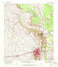 1970 Opelousas1972 Print · USGSSt. Landry Parish in the early 1970s reveals a landscape defined by its bayous and a significant rail-to-river economy centered on Opelousas. Genealogists can trace family landmarks like Sacred Heart Chapel & Cem and Bertrand Cem across this detailed 1970 survey.2 unique versions available
 - 1983 Map of Opelousas
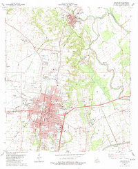 1983 Opelousas1983 Print · USGSOpelousas and the surrounding St. Landry Parish lowlands are captured here in the early eighties, showing a landscape defined by bayous and rail lines. Genealogists can locate family landmarks like Hebrew Rest Cem, Starlight Ch, and the old Courtableau Sch.2 unique versions available
 - 1986 Map of Ville Platte
 1986 Ville Platte1986 Print · USGSCentral Louisiana in the 1980s reveals a complex landscape of pine forests and bayou networks spanning seven distinct parishes. Researchers can trace historic rail lines like the Atchison Topeka and Santa Fe RR and locate settlements such as Simmons Settlement, Redland, and Elizabeth.2 unique versions available
 - 2012 Map of Opelousas, 2012 Print
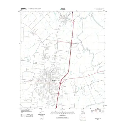 2012 Opelousas2012 Print · USGSSt. Landry Parish in the early twenty-first century reveals a landscape where historic bayou settlements meet modern industry. Genealogists and historians can trace family locations near Lawyers Row, Saint Landry Cem, or the town of Washington.
 - 2015 Map of Opelousas, 2015 Print
 2015 Opelousas2015 Print · USGSOpelousas and the surrounding St. Landry Parish prairies are shown here in the mid-2010s, highlighting the area's unique bayou-side settlements and regional transit corridors. Genealogists and local historians can trace the locations of Saint Landry Cem, the community of Notelyville, and the historic rail lines along N Railroad Ave.
 - 2018 Map of Opelousas, 2018 Print
 2018 Opelousas2018 Print · USGSSt. Landry Parish at the end of the 2010s reveals a landscape of historic bayou settlements and expanding educational hubs. Researchers can trace family sites at Saint Landry Cem or locate the rural communities of Nuba and Boscoville along the Bayou Teche corridor.
 - 2020 Map of Opelousas, 2020 Print
 2020 Opelousas2020 Print · USGSThe heart of Acadiana comes into focus in this recent survey of St. Landry Parish, where the urban grid of OPELOUSAS meets the ancient drainage of the Atchafalaya Basin. Researchers can trace historical sites from the Saint Landry Parish Courthouse to the outlying Hebrew Rest Cem and the settlement of Washington.
 - 2024 Map of Opelousas, 2024 Print
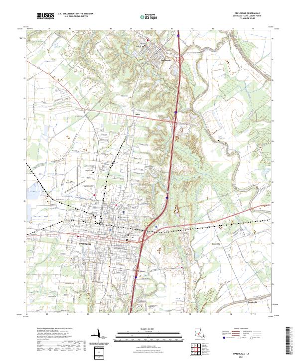 2024 Opelousas2024 Print · USGSSt. Landry Parish is revealed in this modern survey, capturing the historic seat of OPELOUSAS and the riverport town of Washington. Genealogists can trace local roots across numerous sites like Saint Landry Cem, Green Chapel Cem, and the Saint Landry Parish Courthouse.
End of results
Showing maps 1-13 of 13
Top cities near Boscoville
- Opelousas historical maps
- Breaux Bridge historical maps
- Carencro historical maps
- Ville Platte historical maps
- Church Point historical maps
- Sunset historical maps
See more
Frequently asked questions
- What are the different types of historical maps available for Boscoville?
- What is the oldest map of Boscoville?
- Where can I purchase historical maps of Boscoville for my home or office?
- Where can I download high-res historical maps of Boscoville?
- Are there historical topographic maps available for Boscoville?
- Is there historical aerial imagery available for Boscoville?
- Where are historical maps of Boscoville sourced from?