2000s (21st Century) Maps of Eunice, Louisiana
Explore 10 historic maps of Eunice from the 2000s (21st Century). These maps offer a rare glimpse into what life looked like during the 2000s — showing old roads, neighborhoods, homes, and landmarks that have changed or disappeared over time.
Whether you're researching your family's past, planning a metal detecting trip, or studying how Eunice's landscape evolved across the 2000s, these high-resolution maps are a powerful tool for exploring the history of this region.
- Focus on a specific era: All maps on this page are from the 2000s, giving you a focused view of this time period.
- See what’s changed: Compare century-old streets, trails, and buildings to today's modern landscape using overlays and satellite layers.
- Research with precision: Use these maps for genealogy, historical research, land use analysis, or educational projects.
- View, download, or print: Maps are fully viewable online in high resolution, and can be downloaded or printed for your own records.
Start exploring Eunice's history through authentic maps from the 2000s. This is your window into the past.
Eunice, LA maps
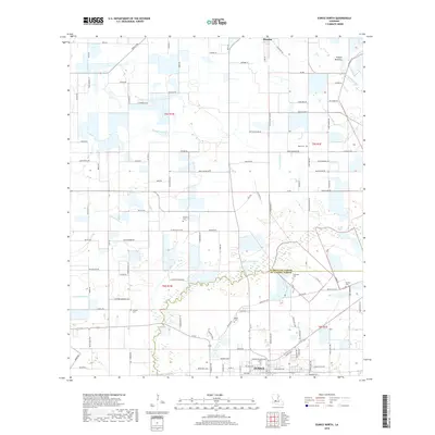
(10)- 2012 Map of Eunice South, 2012 Print
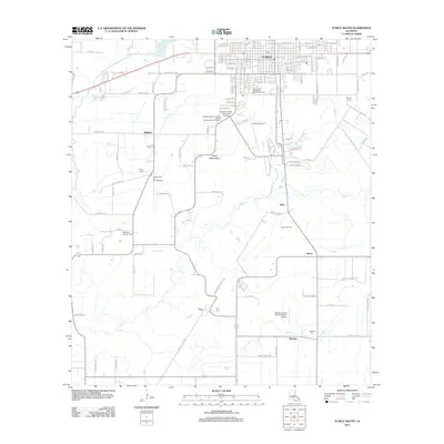 2012 Eunice South2012 Print · USGSCovers Eunice, including Williams, Frey, and other nearby areas
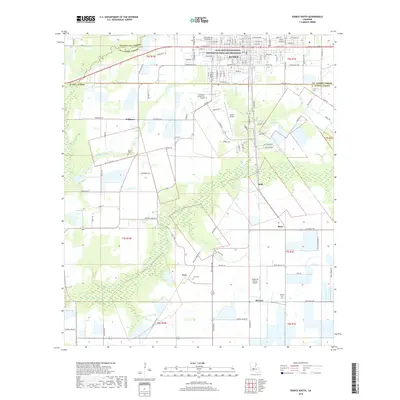
 - 2012 Map of Eunice North, 2012 Print
 2012 Eunice North2012 Print · USGSCovers Eunice, including Mamou, Fenris, and other nearby areas
 - 2015 Map of Eunice North, 2015 Print
 2015 Eunice North2015 Print · USGSCovers Eunice, including Mamou, Fenris, and other nearby areas
 - 2015 Map of Eunice South, 2015 Print
 2015 Eunice South2015 Print · USGSCovers Eunice, including Williams, Frey, and other nearby areas
 - 2018 Map of Eunice North, 2018 Print
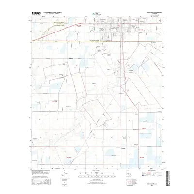
 2018 Eunice North2018 Print · USGSCovers Eunice, including Mamou, Fenris, and other nearby areas
 - 2018 Map of Eunice South, 2018 Print
 2018 Eunice South2018 Print · USGSCovers Eunice, including Williams, Frey, and other nearby areas
 - 2020 Map of Eunice South, 2020 Print
 2020 Eunice South2020 Print · USGSCovers Eunice, including Williams, Frey, and other nearby areas
 - 2020 Map of Eunice North, 2020 Print
 2020 Eunice North2020 Print · USGSCovers Eunice, including Mamou, Fenris, and other nearby areas
 - 2024 Map of Eunice South, 2024 Print
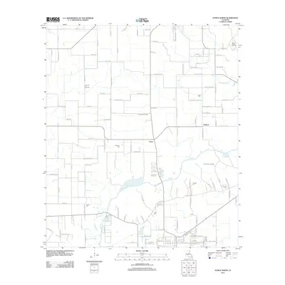
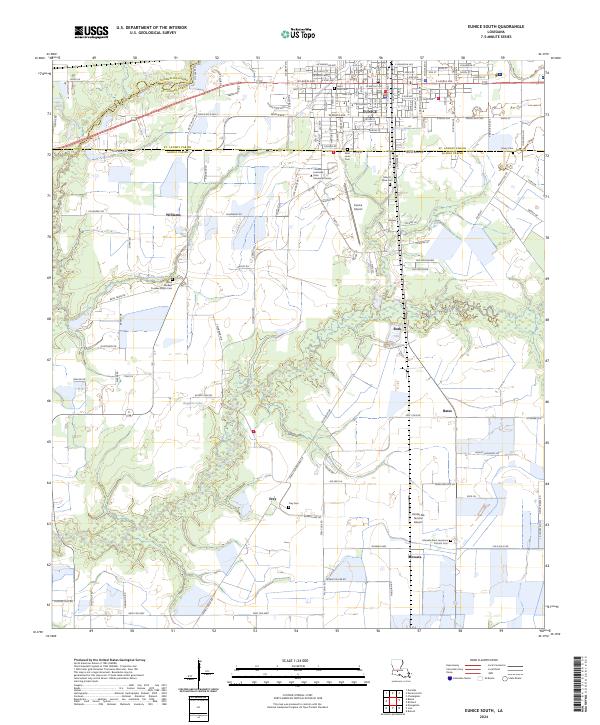 2024 Eunice South2024 Print · USGSAcadia and St. Landry parishes are captured here in the contemporary era, centered on the southern reaches of the city of Eunice. Researchers can locate several family and community landmarks, including Frey Cem, the Louisiana State University Eunice campus, and the small settlement of Mowata.
 - 2024 Map of Eunice North, 2024 Print
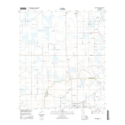
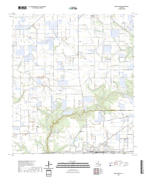 2024 Eunice North2024 Print · USGSSettled Cajun prairie land between Mamou and Eunice is captured here in the contemporary era. Genealogists can locate family burial sites like Rougeau Cem and Guillory Cem while tracing the waterways of Coulee Valentine.
End of results
Showing maps 1-10 of 10
Top cities near Eunice
- Rayne historical maps
- Ville Platte historical maps
- Church Point historical maps
- Mamou historical maps
- Basile historical maps
- Iota historical maps
See more
Frequently asked questions
- What are the different types of historical maps available for Eunice?
- What is the oldest map of Eunice?
- Where can I purchase historical maps of Eunice for my home or office?
- Where can I download high-res historical maps of Eunice?
- Are there historical topographic maps available for Eunice?
- Is there historical aerial imagery available for Eunice?
- Where are historical maps of Eunice sourced from?