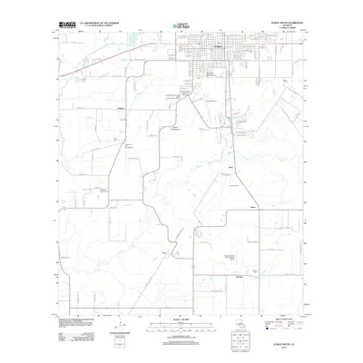
2012 Map of Eunice South
USGS Topo · Published 2012About this map
Eunice and the surrounding prairie of St. Landry Parish are defined by a mix of educational infrastructure and a persistent petroleum economy. In the early 21st century, Louisiana State University Eunice stands as a focal point for the region, anchored by the Bengal Stadium and nearby aviation facilities like Eunice Airport. The surrounding landscape is etched with the drainage patterns of Bayou Mallet and Bayou Des Cannes, which wind through a grid of rural settlements and family-named landmarks including Frey, Bates, and Mowata.
Find a feature on this map
79 named features on this map. Tap any name to fly to it.
Don’t see what you’re looking for? This feature index may not catch every label — zoom into the map to look around manually.
Map Details
Editions of this 2012 Eunice South Map
This is the sole edition of this map. No revisions or reprints were ever made.
Other maps of this area

1935 · Branch
USGS Topo · 1:31,680

1947 · Evangeline
USGS Topo · 1:31,680

1947 · Fruge Lake
USGS Topo · 1:31,680

1947 · Branch
USGS Topo · 1:31,680

1947 · Redland
USGS Topo · 1:31,680

1947 · Chataignier
USGS Topo · 1:31,680

1947 · Eunice
USGS Topo · 1:31,680

1947 · Iota
USGS Topo · 1:31,680

1947 · Pitreville
USGS Topo · 1:31,680

1947 · Basile
USGS Topo · 1:31,680