Old Maps of Blond, Louisiana for Academic Research
Study the evolution of Blond with 14 high-resolution historic maps. Whether you're teaching, researching, or modeling changes in land use, these maps provide essential visual documentation of urban, environmental, and geographic change.
- Analyze long-term change: Track patterns in development, transportation, and natural features.
- Ideal for environmental or urban studies: Support academic projects with primary historical map data.
- Use in the classroom or lab: Educators and researchers rely on these maps to bring historical context to life.
These maps are a powerful tool for teaching, research, and visualizing how Blond has changed over the decades.
Blond, LA maps
(14)- 1942 Map of Waldheim
 1942 Waldheim1942 Print · USGSThe piney woods of St. Tammany Parish appear in the late thirties as a landscape of small settlements and river-carved terrain. Researchers can locate family landmarks like the Fitzgerald Cem, Waldheim Sch, and the St Gertrudes Convent.
 - 1954 Map of Folsom, 1958 Print
 1954 Folsom1958 Print · USGSLouisiana's northshore parishes come alive in the mid-1950s, revealing a landscape of winding river prongs and small rural settlements. Genealogists can trace family roots through numerous sites like Magee Cem, Fivemile Still Cem, and the Folsom Rosenwald Sch.
 - 1954 Map of Baton Rouge, 1974 Print
 1954 Baton Rouge1974 Print · USGSSoutheast Louisiana in the mid-fifties is captured here during a period of transition for its river and rail economies. Researchers can trace the path of the Mississippi River and find landmarks like the Bonnet Carre Spillway and Bayou Plaquemine.2 unique versions available
 - 1956 Map of Baton Rouge
 1956 Baton Rouge1956 Print · USGSSouth Louisiana at the height of the mid-century oil boom shows a landscape of river oxbows and rising industry. Researchers can trace family roots through river towns like Scotlandville or locate early industrial sites and Oil wells near Lake Maurepas.
 - 1958 Map of Folsom, 1959 Print
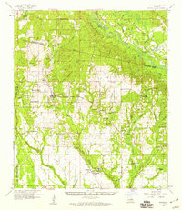 1958 Folsom1959 Print · USGSSt. Tammany and Washington Parishes are shown in the late fifties as a landscape of rural churches, schools, and family cemeteries. Genealogists and historians can trace family locations through sites like Fivemile Still Cem, the Folsom Rosenwald Sch, and the St Gertrude Convent.2 unique versions available
 - 1961 Map of Baton Rouge, 1966 Print
 1961 Baton Rouge1966 Print · USGSSoutheastern Louisiana in the early sixties remains a landscape of deep river bends and sprawling coastal lakes. Genealogists and historians can trace the rail-and-river economy through landmarks like Free-Nigger Point, Donaldsonville, and the Illinois Central Railroad.
 - 1962 Map of Baton Rouge
 1962 Baton Rouge1962 Print · USGSSouth Louisiana in the early sixties reveals a landscape of river-bend parishes and emerging interstate corridors. Genealogists and historians can trace family roots through historic river towns like Donaldsonville and Plaquemine, or follow the path of the Illinois Central Railroad through the swamp basins.
 - 1983 Map of Amite
 1983 Amite1983 Print · USGSThe Florida Parishes and southern Mississippi are captured here in the early 1980s, centered on the Illinois Central Gulf rail corridor. Genealogists and historians can trace family-named sites like the Camp Moore Confederate Cem, Magnolia Ch, and the Idlewild Plantation (State University).
 - 1983 Map of Waldheim, 1984 Print
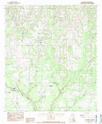 1983 Waldheim1984 Print · USGSSt. Tammany Parish in the early eighties centers on rural communities and spiritual landmarks along the Bogue Falaya. Genealogists and historians can trace family roots at Fivemile Still Cem, visit St Scholastica Priory, or locate the old Lee Road Sch.
 - 2012 Map of Waldheim, 2012 Print
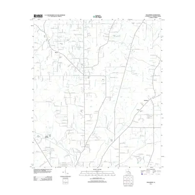 2012 Waldheim2012 Print · USGSSt. Tammany Parish north of Covington comes into focus during this early 21st-century survey of the piney woods and bayous. Genealogists and local historians can trace family burial sites like Fivemile Still Cem and the grounds of Saint Joseph Abbey.
 - 2015 Map of Waldheim, 2015 Print
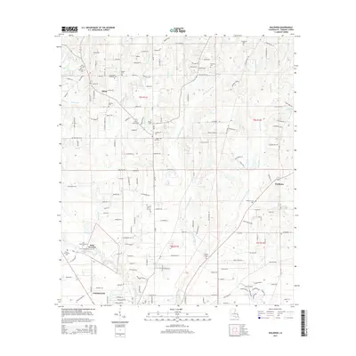 2015 Waldheim2015 Print · USGSNorth of Covington in the mid-2010s, this area of St. Tammany Parish shows a landscape where religious institutions and family legacies meet the Bogue Falaya river system. Researchers can locate many local burial sites like Fivemile Still Cem and Waldheim Cem or trace the grounds of the Saint Joseph Seminary Coll.
 - 2018 Map of Waldheim, 2018 Print
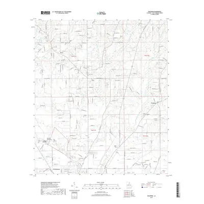 2018 Waldheim2018 Print · USGSNorth of Covington in the late twenty-teens, this area is a rural landscape of pine woods and creek forks. Genealogists can trace family roots at numerous small burial grounds like Waldheim Cem, Fitzgerald Cem, and the grounds of the Saint Joseph Abbey and Seminary College.
 - 2020 Map of Waldheim, 2020 Print
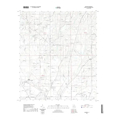 2020 Waldheim2020 Print · USGSSt. Tammany Parish north of Covington maintains its quiet, institutional character in this modern survey. Genealogists and local historians can trace family ties through numerous sites like Waldheim Cem, Barkers Cem, and Saint Joseph Abbey and Seminary College.
 - 2024 Map of Waldheim, 2024 Print
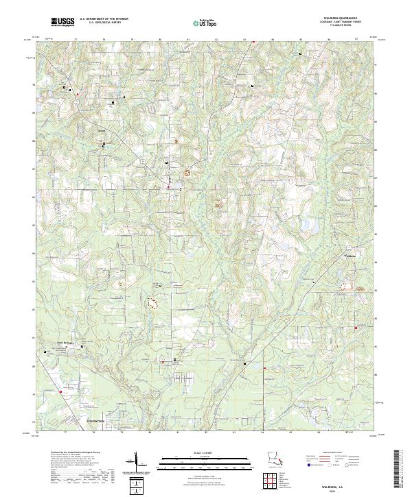 2024 Waldheim2024 Print · USGSSaint Tammany Parish near the northern edge of Covington is shown in this contemporary study of its wooded creek basins and rural crossroads. Local researchers can trace family landmarks like Fivemile Still Cem, Barker's Cem, and the prominent Saint Joseph Abbey and Seminary College.
End of results
Showing maps 1-14 of 14
Top cities near Blond
- Mandeville historical maps
- Bogalusa historical maps
- Covington historical maps
- Abita Springs historical maps
- Madisonville historical maps
- Folsom historical maps
See more
Frequently asked questions
- What are the different types of historical maps available for Blond?
- What is the oldest map of Blond?
- Where can I purchase historical maps of Blond for my home or office?
- Where can I download high-res historical maps of Blond?
- Are there historical topographic maps available for Blond?
- Is there historical aerial imagery available for Blond?
- Where are historical maps of Blond sourced from?