2020s Maps of Pearl River, Louisiana
Explore 8 historic maps of Pearl River from the 2020s. These maps offer a rare glimpse into what life looked like during the 2020s — showing old roads, neighborhoods, homes, and landmarks that have changed or disappeared over time.
Whether you're researching your family's past, planning a metal detecting trip, or studying how Pearl River's landscape evolved across the 2020s, these high-resolution maps are a powerful tool for exploring the history of this region.
- Focus on a specific era: All maps on this page are from the 2020s, giving you a focused view of this time period.
- See what’s changed: Compare century-old streets, trails, and buildings to today's modern landscape using overlays and satellite layers.
- Research with precision: Use these maps for genealogy, historical research, land use analysis, or educational projects.
- View, download, or print: Maps are fully viewable online in high resolution, and can be downloaded or printed for your own records.
Start exploring Pearl River's history through authentic maps from the 2020s. This is your window into the past.
Pearl River, LA maps
(8)- 2020 Map of Slidell, 2020 Print
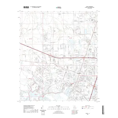 2020 Slidell2020 Print · USGSCovers Pearl River, including Slidell, Bayou Liberty Estates, and other nearby areas
 - 2020 Map of Hickory, 2020 Print
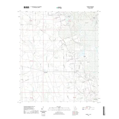 2020 Hickory2020 Print · USGSCovers Pearl River, including Audubon, Hickory, and other nearby areas
 - 2020 Map of Haaswood, 2020 Print
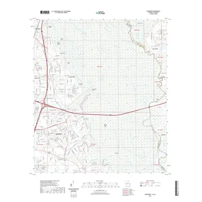 2020 Haaswood2020 Print · USGSCovers Pearl River, including Slidell, Davis Landing, and other nearby areas
 - 2021 Map of Nicholson, 2021 Print
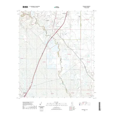 2021 Nicholson2021 Print · USGSCovers Pearl River, including Picayune, Santa Rosa, and other nearby areas
 - 2024 Map of Hickory, 2024 Print
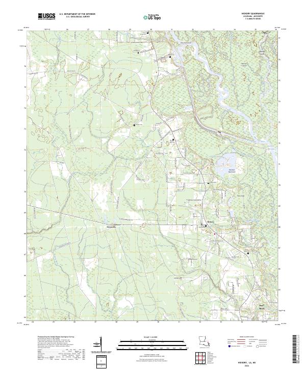 2024 Hickory2024 Print · USGSThe St. Tammany Parish lowlands are captured here in the early twenty-first century, showcasing the intricate waterway networks of the Pearl River basin. Genealogists and local historians can trace family-named routes and small burial sites like Charter Oak Cem, Talley Cem, and Hickory Cem.
 - 2024 Map of Haaswood, 2024 Print
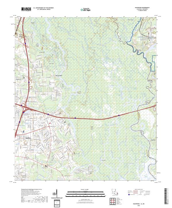 2024 Haaswood2024 Print · USGSSt. Tammany Parish and Hancock County are captured here at the river border where Louisiana meets Mississippi. Genealogists and local historians can trace family sites at Napoleon Cem and Oak Grove Cem or explore the labyrinth of Otter Bayou and Whisky Island.
 - 2024 Map of Slidell, 2024 Print
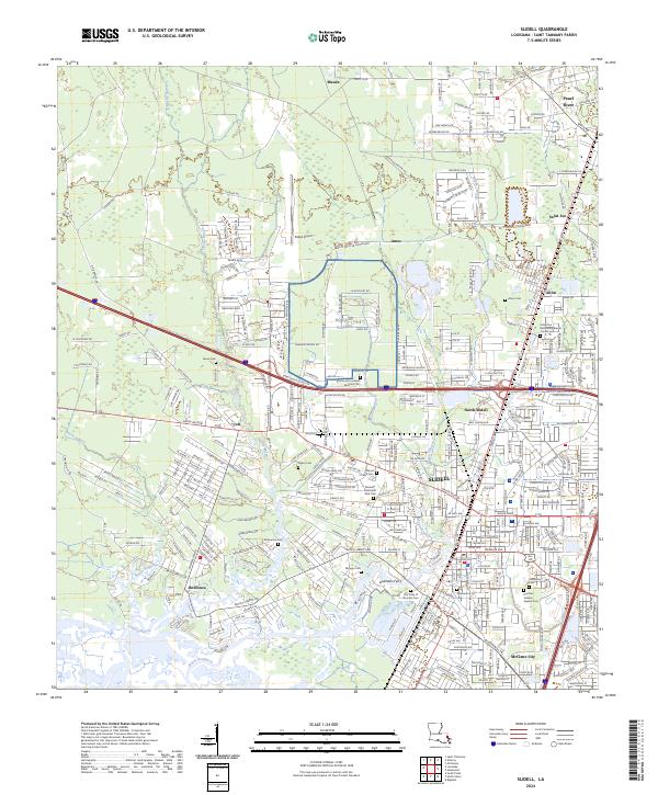 2024 Slidell2024 Print · USGSSlidell and the surrounding bayous are documented here in detail during their modern development. Researchers can trace family history at numerous local sites like Guzmans Ferry, the Oddfellow Cem, and McClane City.
 - 2024 Map of Nicholson, 2024 Print
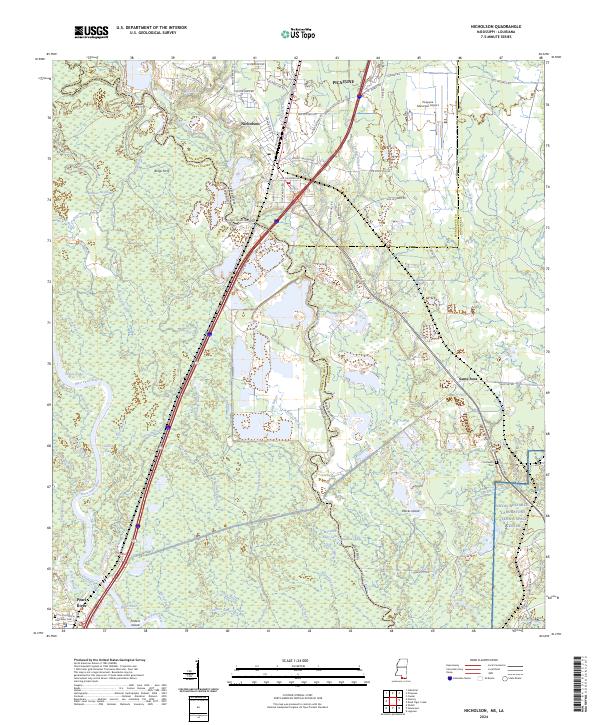 2024 Nicholson2024 Print · USGSThe Pearl River bottomlands come into focus in this contemporary survey of the Mississippi-Louisiana border. Genealogists and local historians can trace family roots through Turtleskin Cem, the historic site of Bings Ferry, and the vanished settlement of Santa Rosa.
End of results
Showing maps 1-8 of 8
Top cities near Pearl River
- New Orleans historical maps
- Slidell historical maps
- Picayune historical maps
- Pearlington historical maps
Top neighborhoods of Pearl River
Frequently asked questions
- What are the different types of historical maps available for Pearl River?
- What is the oldest map of Pearl River?
- Where can I purchase historical maps of Pearl River for my home or office?
- Where can I download high-res historical maps of Pearl River?
- Are there historical topographic maps available for Pearl River?
- Is there historical aerial imagery available for Pearl River?
- Where are historical maps of Pearl River sourced from?