1940s Maps of Amite City, Louisiana
Explore 5 historic maps of Amite City from the 1940s. These maps offer a rare glimpse into what life looked like during the 1940s — showing old roads, neighborhoods, homes, and landmarks that have changed or disappeared over time.
Whether you're researching your family's past, planning a metal detecting trip, or studying how Amite City's landscape evolved across the 1940s, these high-resolution maps are a powerful tool for exploring the history of this region.
- Focus on a specific era: All maps on this page are from the 1940s, giving you a focused view of this time period.
- See what’s changed: Compare century-old streets, trails, and buildings to today's modern landscape using overlays and satellite layers.
- Research with precision: Use these maps for genealogy, historical research, land use analysis, or educational projects.
- View, download, or print: Maps are fully viewable online in high resolution, and can be downloaded or printed for your own records.
Start exploring Amite City's history through authentic maps from the 1940s. This is your window into the past.
Amite City, LA maps
(5)- 1940 Map of Roseland, 1954 Print
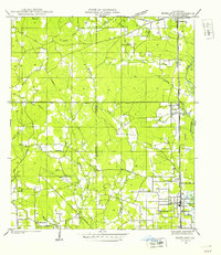 1940 Roseland1954 Print · USGSTangipahoa Parish in the 1940s is seen here as a series of rail-side towns and rural crossroads along the Illinois Central Railroad. Genealogists and historians can trace early community hubs like Fluker, Arcola, and the Kelly Cem.
 - 1942 Map of Roseland
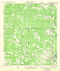 1942 Roseland1942 Print · USGSTangipahoa Parish is seen here in the early 1940s, when the Illinois Central Railroad linked a corridor of small towns and timber lands. Genealogists can trace early residents through sites like Kelly Cem, Big Zion Sch, and Claiborne Chapel.
 - 1942 Map of Loranger
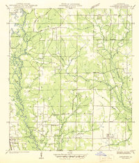 1942 Loranger1942 Print · USGSTangipahoa Parish at the dawn of the 1940s reveals a landscape of river-bottom lands and rural crossroads. Genealogists can trace early family sites like Spring Cem, Union Ch, and the Barnett Sch along the Illinois Central line.
 - 1949 Map of Bolivar
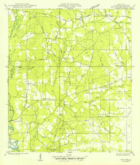 1949 Bolivar1949 Print · USGSTangipahoa Parish in the late 1940s is shown here as a landscape of rural schools and timberland drainages. Genealogists can locate specific family landmarks and church sites like Hammonds Chapel Cem, Dyson Sch, and the community of Chesbrough.
 - 1949 Map of Amite
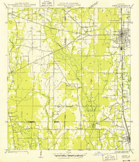 1949 Amite1949 Print · USGSTangipahoa Parish enters the post-war era as a busy corridor of rail commerce and rural community life. Researchers can trace family roots through numerous local landmarks, including Baham Cemetery, McMichael Church, and the Illinois Central line through Amite.
End of results
Showing maps 1-5 of 5
Top cities near Amite City
- Hammond historical maps
- Kentwood historical maps
- Independence historical maps
- Livingston historical maps
- Albany historical maps
- Roseland historical maps
See more
Top neighborhoods of Amite City
Frequently asked questions
- What are the different types of historical maps available for Amite City?
- What is the oldest map of Amite City?
- Where can I purchase historical maps of Amite City for my home or office?
- Where can I download high-res historical maps of Amite City?
- Are there historical topographic maps available for Amite City?
- Is there historical aerial imagery available for Amite City?
- Where are historical maps of Amite City sourced from?