2000s (21st Century) Maps of Newellton, Louisiana
Explore 10 historic maps of Newellton from the 2000s (21st Century). These maps offer a rare glimpse into what life looked like during the 2000s — showing old roads, neighborhoods, homes, and landmarks that have changed or disappeared over time.
Whether you're researching your family's past, planning a metal detecting trip, or studying how Newellton's landscape evolved across the 2000s, these high-resolution maps are a powerful tool for exploring the history of this region.
- Focus on a specific era: All maps on this page are from the 2000s, giving you a focused view of this time period.
- See what’s changed: Compare century-old streets, trails, and buildings to today's modern landscape using overlays and satellite layers.
- Research with precision: Use these maps for genealogy, historical research, land use analysis, or educational projects.
- View, download, or print: Maps are fully viewable online in high resolution, and can be downloaded or printed for your own records.
Start exploring Newellton's history through authentic maps from the 2000s. This is your window into the past.
Newellton, LA maps
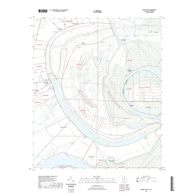
(10)- 2012 Map of Newellton, 2012 Print
 2012 Newellton2012 Print · USGSCovers Newellton, including Yucatan Landing, Notnac, and other nearby areas
 - 2012 Map of Saranac, 2012 Print
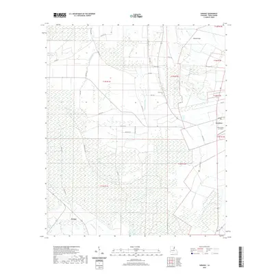
 2012 Saranac2012 Print · USGSCovers Newellton, including Saranac, Tensas, and other nearby areas
 - 2015 Map of Newellton, 2015 Print
 2015 Newellton2015 Print · USGSCovers Newellton, including Yucatan Landing, Notnac, and other nearby areas
 - 2015 Map of Saranac, 2015 Print
 2015 Saranac2015 Print · USGSCovers Newellton, including Saranac, Tensas, and other nearby areas
 - 2018 Map of Newellton, 2018 Print
 2018 Newellton2018 Print · USGSCovers Newellton, including Yucatan Landing, Notnac, and other nearby areas
 - 2018 Map of Saranac, 2018 Print
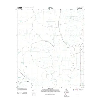
 2018 Saranac2018 Print · USGSCovers Newellton, including Saranac, Tensas, and other nearby areas
 - 2020 Map of Newellton, 2020 Print
 2020 Newellton2020 Print · USGSCovers Newellton, including Yucatan Landing, Notnac, and other nearby areas
 - 2020 Map of Saranac, 2020 Print
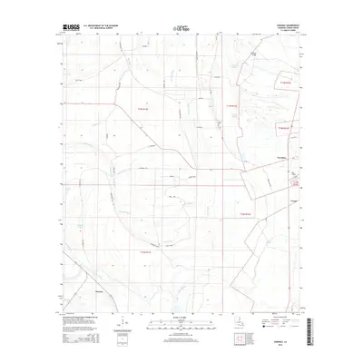
 2020 Saranac2020 Print · USGSCovers Newellton, including Saranac, Tensas, and other nearby areas
 - 2024 Map of Saranac, 2024 Print
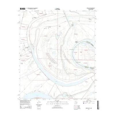
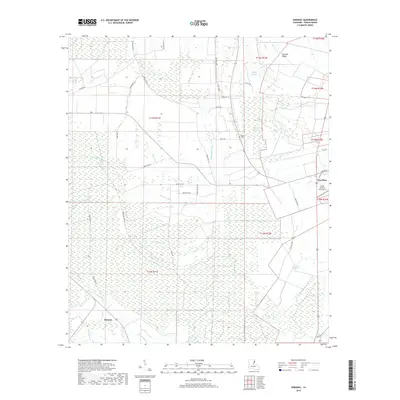
 2024 Saranac2024 Print · USGSThe delta country of Tensas Parish comes into focus in this recent survey of the lands around Newellton and Saranac. Researchers can trace old family landmarks like Newell Cem and Newells Ridge amidst a maze of waterways like Routh Bayou.
 - 2024 Map of Newellton, 2024 Print
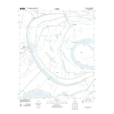
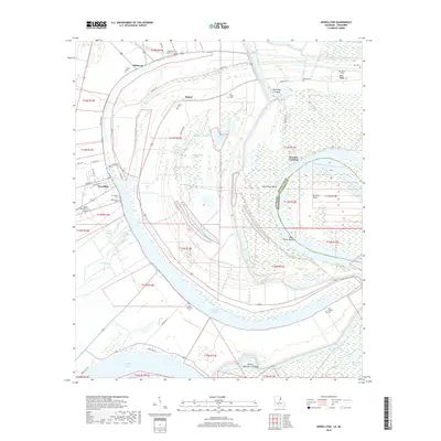
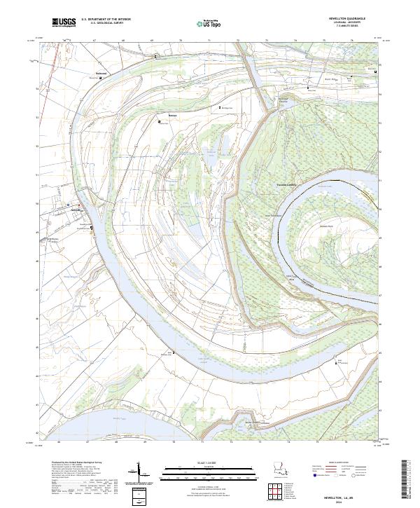 2024 Newellton2024 Print · USGSTensas Parish life revolves around the sweeping oxbows of the Mississippi in the early 2020s. Genealogists and historians can trace family locations near Lake Saint Joseph, Newellton Cem, and the historic Yucatan Landing.
End of results
Showing maps 1-10 of 10
Top cities near Newellton
Frequently asked questions
- What are the different types of historical maps available for Newellton?
- What is the oldest map of Newellton?
- Where can I purchase historical maps of Newellton for my home or office?
- Where can I download high-res historical maps of Newellton?
- Are there historical topographic maps available for Newellton?
- Is there historical aerial imagery available for Newellton?
- Where are historical maps of Newellton sourced from?