Old Maps of Newellton, Louisiana for Hiking & Exploration
Hike through history with 21 historic maps of Newellton. Explore old trails, ghost towns, and forgotten backroads — perfect for outdoor adventurers and local explorers.
- Rediscover forgotten places: Map out old mining camps, roads, and footpaths that no longer exist on modern maps.
- Layer with modern tools: Combine with LiDAR or satellite views to plan hikes through historical terrain.
- Made for exploration: Popular among hikers, overlanders, and local history lovers.
Use these maps to find adventure and explore the hidden past of Newellton.
Newellton, LA maps
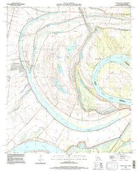
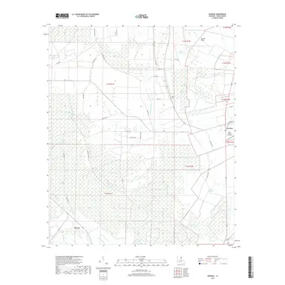
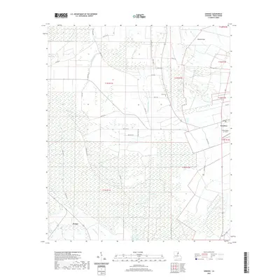
(21)- 1935 Map of Shackleford Lake, 1942 Print
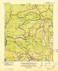 1935 Shackleford Lake1942 Print · USGSThe Tensas River basin in the 1930s shows a complex network of logging railroads and river landings essential to the local timber economy. Genealogists and local historians can trace family sites at Marydale Plantation, Stonewall Ch, and the settlement at Newlight.2 unique versions available
 - 1955 Map of Jackson
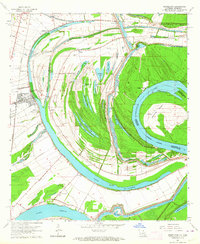
 1955 Jackson1955 Print · USGSThe Lower Mississippi Valley at the middle of the century reveals a landscape of deep river meanders and growing rail hubs. Genealogists and historians can trace the mid-century footprints of Vicksburg National Military Park, old river landings at Port Gibson, and the rail corridors of the Illinois Central Railroad.3 unique versions available
 - 1958 Map of Shackleford Lake
 1958 Shackleford Lake1958 Print · USGSTensas Parish was a landscape of timber and river landings in the mid-1950s, where the logging industry and the river's flow dictated local life. Genealogists and historians can trace the foundations of communities at Marydale Plantation, Magnolia Sch & Ch, and ancient sites like the Indian Mounds.
 - 1961 Map of Jackson
 1961 Jackson1961 Print · USGSThe Lower Mississippi Delta and the state capital area are captured here during the post-war era of infrastructure expansion. Researchers can trace the complex river oxbows and rail lines connecting Vicksburg, Yazoo City, and the Illinois Central Railroad network.
 - 1962 Map of Jackson
 1962 Jackson1962 Print · USGSThe Mississippi Delta and the state capital region are mapped here in the early sixties, showing a landscape defined by the great river and the growing city of JACKSON. Genealogists can trace family roots through numerous landmarks like Cedar Hill Cem, rural stops on the Illinois Central RR, and historic sites like Champion Hill.2 unique versions available
 - 1963 Map of Newellton, 1964 Print
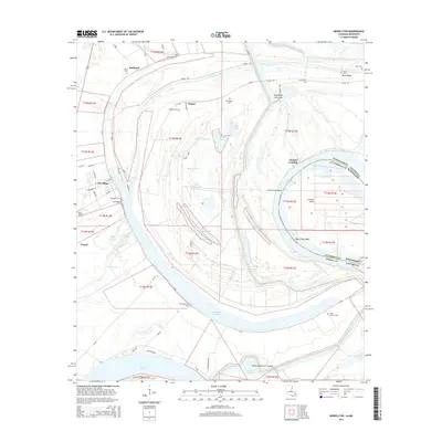
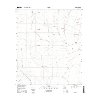
 1963 Newellton1964 Print · USGSThe riverfront of Tensas Parish in the early sixties was a landscape of dramatic oxbows and deep agricultural roots. Researchers can trace family history through local landmarks like Newellton Cem, St Matthew Ch, and the small settlement at Balmoral.2 unique versions available
 - 1965 Map of Davis Island
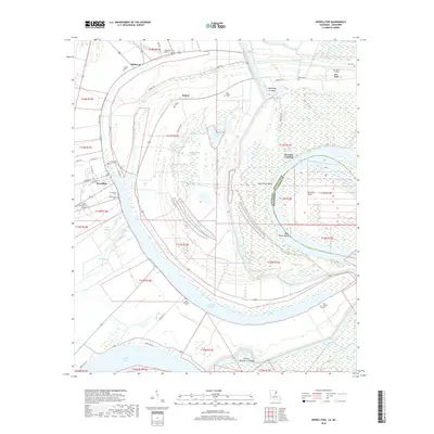
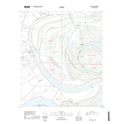
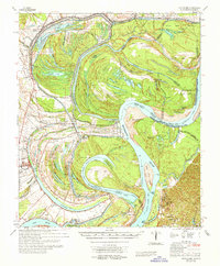 1965 Davis Island1965 Print · USGSThe Mississippi River and its intricate floodplains define this mid-1960s survey of the Louisiana and Mississippi border. Genealogists and historians can trace family locations near Newellton, Somerset Cem, and the historic Grand Gulf Mil Mon.3 unique versions available
 - 1982 Map of Tallulah, 1983 Print
 1982 Tallulah1983 Print · USGSNortheast Louisiana in the early eighties was a landscape of intricate oxbow lakes and railroad towns. Researchers can trace the heritage of parish centers like Tallulah and Winnsboro, or locate rural landmarks near Yucatan Lake and the Illinois Central Gulf tracks.
 - 1987 Map of Saranac
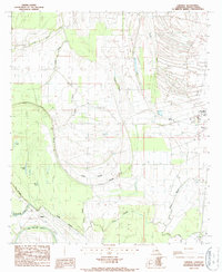 1987 Saranac1987 Print · USGSTensas Parish in the late twentieth century is shown as a complex landscape of delta wetlands and managed waterways. Researchers can trace the layout of Newellton and Saranac or locate cultural landmarks like the Indian Mounds and local Cem.
 - 1994 Map of Saranac, 1997 Print
 1994 Saranac1997 Print · USGSTensas Parish in the mid-1990s reveals a delta landscape defined by meandering bayous and deep-rooted settlements. Trace the geography of the Mississippi floodplain through sites like Newellton, the Indian Mounds, and the winding waters of Big Choctaw Bayou.
 - 1994 Map of Newellton, 1997 Print
 1994 Newellton1997 Print · USGSThe Lower Mississippi River loops through Tensas Parish in the 1990s, revealing a landscape shaped by ancient oxbows and river landings. Genealogists can locate several family burial grounds, such as Indian Mounds Cem, Elk Ridge Cem, and Newellton Cem.
 - 2012 Map of Newellton, 2012 Print
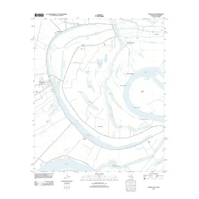 2012 Newellton2012 Print · USGSCovers Newellton, including Yucatan Landing, Notnac, and other nearby areas
 - 2012 Map of Saranac, 2012 Print
 2012 Saranac2012 Print · USGSCovers Newellton, including Saranac, Tensas, and other nearby areas
 - 2015 Map of Newellton, 2015 Print
 2015 Newellton2015 Print · USGSCovers Newellton, including Yucatan Landing, Notnac, and other nearby areas
 - 2015 Map of Saranac, 2015 Print
 2015 Saranac2015 Print · USGSCovers Newellton, including Saranac, Tensas, and other nearby areas
 - 2018 Map of Newellton, 2018 Print
 2018 Newellton2018 Print · USGSCovers Newellton, including Yucatan Landing, Notnac, and other nearby areas
 - 2018 Map of Saranac, 2018 Print
 2018 Saranac2018 Print · USGSCovers Newellton, including Saranac, Tensas, and other nearby areas
 - 2020 Map of Newellton, 2020 Print
 2020 Newellton2020 Print · USGSCovers Newellton, including Yucatan Landing, Notnac, and other nearby areas
 - 2020 Map of Saranac, 2020 Print
 2020 Saranac2020 Print · USGSCovers Newellton, including Saranac, Tensas, and other nearby areas
 - 2024 Map of Saranac, 2024 Print
 2024 Saranac2024 Print · USGSThe delta country of Tensas Parish comes into focus in this recent survey of the lands around Newellton and Saranac. Researchers can trace old family landmarks like Newell Cem and Newells Ridge amidst a maze of waterways like Routh Bayou.
 - 2024 Map of Newellton, 2024 Print
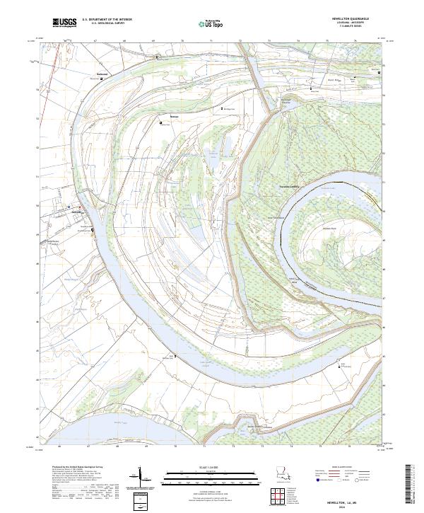 2024 Newellton2024 Print · USGSTensas Parish life revolves around the sweeping oxbows of the Mississippi in the early 2020s. Genealogists and historians can trace family locations near Lake Saint Joseph, Newellton Cem, and the historic Yucatan Landing.
End of results
Showing maps 1-21 of 21
Top cities near Newellton
Frequently asked questions
- What are the different types of historical maps available for Newellton?
- What is the oldest map of Newellton?
- Where can I purchase historical maps of Newellton for my home or office?
- Where can I download high-res historical maps of Newellton?
- Are there historical topographic maps available for Newellton?
- Is there historical aerial imagery available for Newellton?
- Where are historical maps of Newellton sourced from?