Old Maps of Crescent, Louisiana
Explore 17 old maps of Crescent, spanning from 1892 to today. These high-resolution historic maps reveal how streets, neighborhoods, landmarks, and natural features evolved over time — perfect for genealogy, metal detecting, research, and local history exploration.
What you can do with these maps:
- See how Crescent changed over time: Compare historical maps to modern-day views to trace roads, homesites, rail lines & more.
- View detailed metadata: Each map includes creators, publishers, year, scale, and archive source.
- Overlay maps with satellite & LiDAR: Visualize the past alongside modern tools to explore terrain & human change.
- Trusted historical sources: Maps sourced from the USGS, Library of Congress, and other archives.
- Access maps your way: View online, download high-res files, or order prints for personal or research use.
Start exploring old maps of Crescent to uncover forgotten places, hidden landmarks, and the deep history beneath your feet.
Crescent, LA maps
(17)- 1892 Map of Gibson
 1892 Gibson1892 Print · USGSCoastal Louisiana in the early 1890s is captured here as a landscape of bayous and new rail lines. Genealogists and historians can trace family land along Bayou Black or locate old railway stops at Gibson, Chacahoula, and Schriever.4 unique versions available
 - 1897 Map of Gibson
 1897 Gibson1897 Print · USGSCoastal Louisiana in the late nineteenth century was a world defined by its waterways and the rising influence of the rail. Genealogists and researchers can trace the early layout of bayou settlements like Schriever, Ellendale, and Chacahoula along the Southern Pacific Railroad.
 - 1939 Map of Gibson, 1956 Print
 1939 Gibson1956 Print · USGSCoastal Louisiana at the end of the thirties was a world of rail-side settlements and bayou-based commerce. You can trace the lineage of small parish communities through Beattieville Gray P O, Mt Pilgrim Ch, and the Halfway Cem.
 - 1941 Map of Gibson
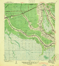 1941 Gibson1941 Print · USGSCajun country and the sugarcane belt are mapped here just before the war, showing the rail-and-water corridors of the southern parishes. Genealogists can trace family names and local landmarks through sites like Beattleville Gray P O, Bull Run Sch, and Halfway Cem.
 - 1944 Map of Gibson
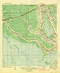 1944 Gibson1944 Print · USGSCoastal Louisiana during the mid-forties reveals a landscape defined by delta bayous and early industrial rail lines. Genealogists can locate family landmarks like Mt Pilgrim Ch, St Johns Ch, and the Beattieville Gray PO.
 - 1945 Map of New Orleans
 1945 New Orleans1945 Print · USGSCoastal Louisiana and the Mississippi delta are captured here just after the war, showing the region's transition into a modern industrial and transit hub. Genealogists can trace family settlements along Bayou Teche or identify rail stops for the Illinois Central and Texas & Pacific lines.
 - 1963 Map of New Orleans
 1963 New Orleans1963 Print · USGSCoastal Louisiana in the mid-twentieth century reveals a complex world of bayou settlements, expanding oil fields, and vital rail networks. Genealogists and historians can trace family roots through river towns like Thibodaux or follow the Southern Pacific line through Franklin and Patterson.4 unique versions available
 - 1964 Map of Gibson, 1965 Print
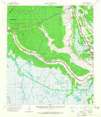 1964 Gibson1965 Print · USGSSouthern Louisiana in the mid-1960s was a landscape defined by the intersection of the energy industry and historic plantations. Genealogists can trace family roots through sites like Magnolia Cem, Buzzard Roost Ch, and the Edward Daigle Drive-in Theater.3 unique versions available
 - 1964 Map of Humphreys, 1965 Print
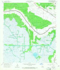 1964 Humphreys1965 Print · USGSTerrebonne Parish settlements and oil fields thrive along the wetlands in the mid-sixties. Genealogists and historians can trace local landmarks like St Anthonys Cem, the Bayou Black Sch, and the rail siding at Hollywood.3 unique versions available
 - 1966 Map of New Orleans
 1966 New Orleans1966 Print · USGSCoastal Louisiana in the mid-1960s reveals a transition from traditional bayou life to an intensive offshore oil and gas economy. Researchers can trace the rail lines of the Southern Pacific RR through Morgan City or locate the Eugene Island Lighthouse among the delta's shifting marshes.
 - 1983 Map of New Orleans
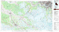 1983 New Orleans1983 Print · USGSSoutheast Louisiana in the early eighties reveals a landscape where the urban density of New Orleans meets the vast wetlands of the Salvador State Wildlife Management Area. Genealogists and historians can trace the traditional bayou settlements of Houma and Thibodaux alongside major rail lines like the Southern Pacific.2 unique versions available
 - 1998 Map of Humphreys, 2000 Print
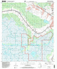 1998 Humphreys2000 Print · USGSCoastal Terrebonne Parish in the late nineties showcases a landscape shaped by petroleum and the winding bayous of southern Louisiana. Genealogists and historians can trace local landmarks like Bayou Black Sch, St Lukes Ch, and the settlements of Humphreys and Waterproof.
 - 2012 Map of Humphreys, 2012 Print
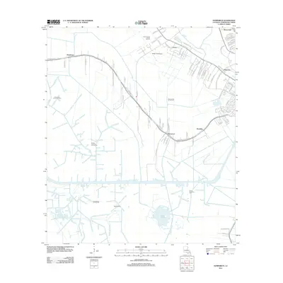 2012 Humphreys2012 Print · USGSTerrebonne Parish settlements and energy fields are mapped here during a period of significant coastal development. Researchers can trace the water-bound communities of Waterproof and Mandalay or locate the historic Orange Grove Plantation and Huffaker Field Airport.
 - 2015 Map of Humphreys, 2015 Print
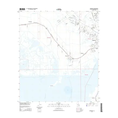 2015 Humphreys2015 Print · USGSCoastal Louisiana life centers on the winding waters of Bayou Black in this 2015 record of the Terrebonne Parish landscape. Genealogists and locals can trace the sprawl of Houma out toward Waterproof and Humphreys, or follow the industrial paths of the Intracoastal Waterway and Minors Canal.
 - 2018 Map of Humphreys, 2018 Print
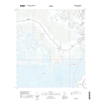 2018 Humphreys2018 Print · USGSTerrebonne Parish at the turn of the 21st century reveals a landscape where suburban growth meets the deep marsh. Genealogists and local historians can trace family-named areas like Humphreys and Crescent or follow the path of Bayou Black toward the Intracoastal Waterway.
 - 2020 Map of Humphreys, 2020 Print
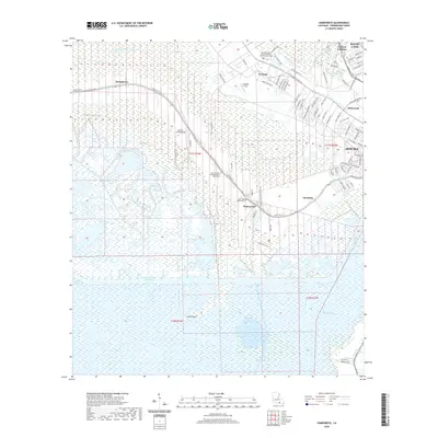 2020 Humphreys2020 Print · USGSThe Terrebonne Parish marshlands and the Bayou Black corridor are shown here in the 2020s, highlighting the settlement patterns of the Louisiana wetlands. Genealogists can locate Saint Anthony of Padua Bayou Black Cem and Crescent Farm.
 - 2024 Map of Humphreys, 2024 Print
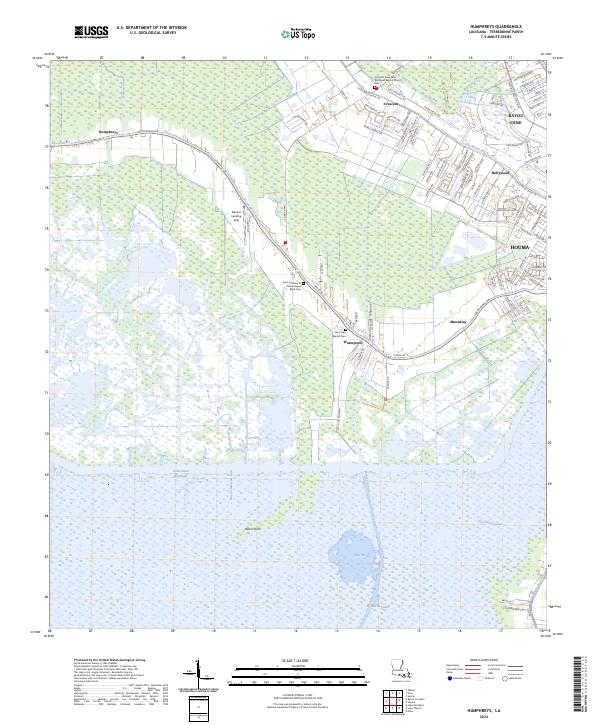 2024 Humphreys2024 Print · USGSCoastal Terrebonne Parish comes to life in this survey of the marshlands west of Houma. Researchers can trace generations at the Saint Luke Baptist Cem, explore the reaches of Lake Hatch, or follow the industrial legacy of Bayou Black.
End of results
Showing maps 1-17 of 17
Top cities near Crescent
Frequently asked questions
- What are the different types of historical maps available for Crescent?
- What is the oldest map of Crescent?
- Where can I purchase historical maps of Crescent for my home or office?
- Where can I download high-res historical maps of Crescent?
- Are there historical topographic maps available for Crescent?
- Is there historical aerial imagery available for Crescent?
- Where are historical maps of Crescent sourced from?