2020s Maps of Terral Island, Louisiana
Explore 6 historic maps of Terral Island from the 2020s. These maps offer a rare glimpse into what life looked like during the 2020s — showing old roads, neighborhoods, homes, and landmarks that have changed or disappeared over time.
Whether you're researching your family's past, planning a metal detecting trip, or studying how Terral Island's landscape evolved across the 2020s, these high-resolution maps are a powerful tool for exploring the history of this region.
- Focus on a specific era: All maps on this page are from the 2020s, giving you a focused view of this time period.
- See what’s changed: Compare century-old streets, trails, and buildings to today's modern landscape using overlays and satellite layers.
- Research with precision: Use these maps for genealogy, historical research, land use analysis, or educational projects.
- View, download, or print: Maps are fully viewable online in high resolution, and can be downloaded or printed for your own records.
Start exploring Terral Island's history through authentic maps from the 2020s. This is your window into the past.
Terral Island, LA maps
(6)- 2020 Map of De Loutre, 2020 Print
 2020 De Loutre2020 Print · USGSCovers Terral Island, including Canbeal, Antioch, and other nearby areas
 - 2020 Map of Farmerville, 2020 Print
 2020 Farmerville2020 Print · USGSCovers Terral Island, including Farmerville, Webster Bluff, and other nearby areas
 - 2020 Map of Downsville North, 2020 Print
 2020 Downsville North2020 Print · USGSCovers Terral Island, including Farmerville, Sardis, and other nearby areas
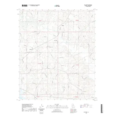
 - 2024 Map of De Loutre, 2024 Print
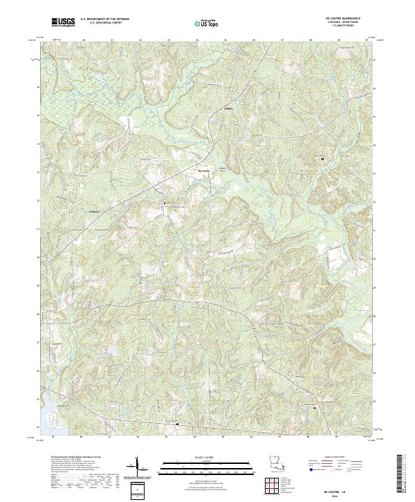 2024 De Loutre2024 Print · USGSUnion Parish at the start of the 2020s remains a landscape defined by the winding Bayou de Loutre and its quiet timberlands. Researchers can trace local lineages through Edwards Cem and Antioch Cem or locate the historic site of Defees Ferry.
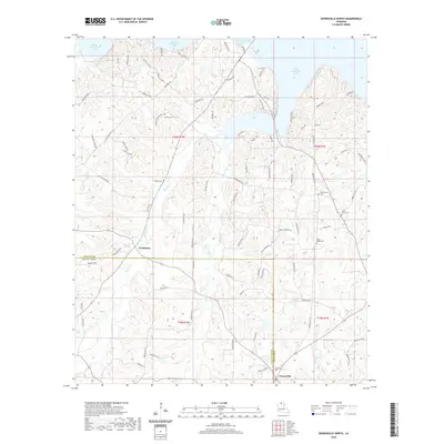
 - 2024 Map of Downsville North, 2024 Print
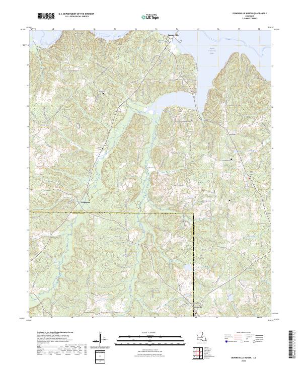 2024 Downsville North2024 Print · USGSUnion and Lincoln Parishes meet in this northern Louisiana landscape defined by the waters of Bayou D'Arbonne Lake. Researchers can trace local lineage through Sardis Cem, Holmesville Cem, and the old church grounds at Mount Nebo Cem.
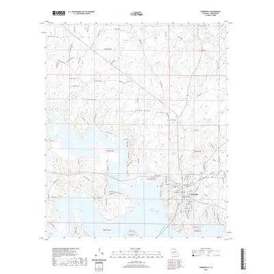
 - 2024 Map of Farmerville, 2024 Print
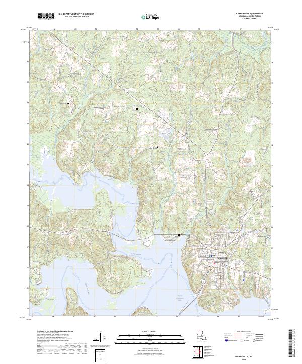 2024 Farmerville2024 Print · USGSFarmerville and the surrounding Union Parish landscape are captured here in the mid-2020s, centered on the historic Union Parish Courthouse. Genealogists and local historians can trace family locations near Pearson Cem, Rabun Cem, and the shores of Bayou D'Arbonne Lake.
End of results
Showing maps 1-6 of 6
Top cities near Terral Island
- Ruston historical maps
- West Monroe historical maps
- Farmerville historical maps
- Choudrant historical maps
- Marion historical maps
- Spearsville historical maps
Frequently asked questions
- What are the different types of historical maps available for Terral Island?
- What is the oldest map of Terral Island?
- Where can I purchase historical maps of Terral Island for my home or office?
- Where can I download high-res historical maps of Terral Island?
- Are there historical topographic maps available for Terral Island?
- Is there historical aerial imagery available for Terral Island?
- Where are historical maps of Terral Island sourced from?