Old Maps of Terral Island, Louisiana for Academic Research
Study the evolution of Terral Island with 24 high-resolution historic maps. Whether you're teaching, researching, or modeling changes in land use, these maps provide essential visual documentation of urban, environmental, and geographic change.
- Analyze long-term change: Track patterns in development, transportation, and natural features.
- Ideal for environmental or urban studies: Support academic projects with primary historical map data.
- Use in the classroom or lab: Educators and researchers rely on these maps to bring historical context to life.
These maps are a powerful tool for teaching, research, and visualizing how Terral Island has changed over the decades.
Terral Island, LA maps
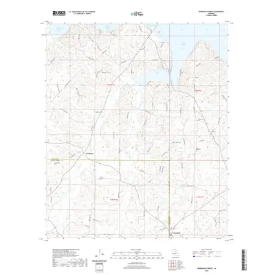
(24)- 1952 Map of Calhoun, 1953 Print
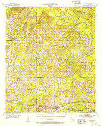 1952 Calhoun1953 Print · USGSNorth Louisiana life in the early fifties centered on the rural crossroads and rail lines of Union and Ouachita Parishes. Genealogists can trace family footprints through numerous local landmarks like Millard Hill Cem, Auld Chapel, and the Experiment Station at Calhoun.3 unique versions available
 - 1952 Map of Farmerville, 1953 Print
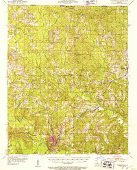 1952 Farmerville1953 Print · USGSUnion Parish in the early fifties reveals a landscape of tight-knit rural communities and timber-rail corridors. Researchers can locate family landmarks like Old Tennessee Cem, trace the Pacific Railroad, or find long-standing congregations such as Mt Olive Ch.4 unique versions available
 - 1955 Map of Shreveport
 1955 Shreveport1955 Print · USGSNorthern Louisiana in the mid-fifties is captured here as a landscape of military bases, vast oil fields, and burgeoning college towns. Genealogists and historians can trace the rail-and-river economy through the Monroe Gas Field, Grambling College, and Barksdale Air Force Base.3 unique versions available
 - 1956 Map of Shreveport
 1956 Shreveport1956 Print · USGSNorthern Louisiana during the mid-fifties presents a complex landscape of booming oil fields and strategic military installations. Genealogists and historians can trace the infrastructure of the Monroe Gas Field and family-named locales from Cotton Valley to Jonesboro.
 - 1982 Map of Downsville North, 1983 Print
 1982 Downsville North1983 Print · USGSUnion and Lincoln Parishes are captured here in the early eighties as the energy industry and timberlands defined the rural landscape. Researchers can locate family landmarks like the Feazel Cem, Cedar Grove Cem, and Millard Hill Ch near the banks of Bayou D'Arbonne Lake.
 - 1984 Map of Shreveport
 1984 Shreveport1984 Print · USGSNorthern Louisiana at the peak of the 1980s reveals a landscape of massive water management projects and Cold War military hubs. Trace the rail lines of the Kansas City Southern Ry past Barksdale Air Force Base and the high ground of Driskill Mountain.2 unique versions available
 - 1985 Map of Monroe North, 1986 Print
 1985 Monroe North1986 Print · USGSNorth-central Louisiana in the mid-eighties was a landscape defined by the growth of university towns and the expansion of the natural gas industry. Researchers can trace rural family roots through landmarks like Lisbon Cem, New Hope Ch, and the many schools in Farmerville or Bernice.2 unique versions available
 - 1988 Map of De Loutre
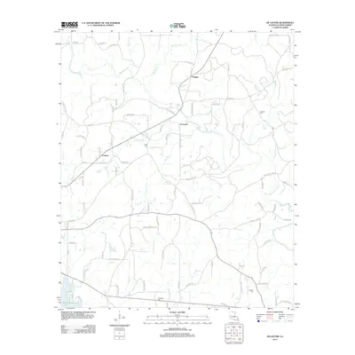
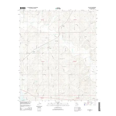
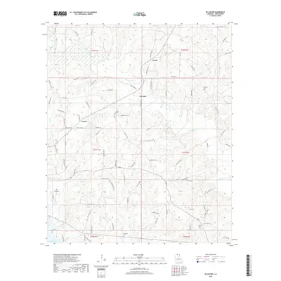
 1988 De Loutre1988 Print · USGSUnion Parish in the late eighties reveals a landscape of winding bayous and active energy production. Researchers can trace the Old RR Grade and locate family landmarks like the cemeteries near De Loutre and the settlements of Quigley and Canbeal.
 - 1988 Map of Farmerville
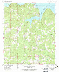
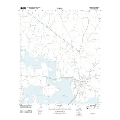
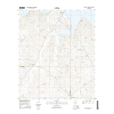
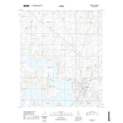
 1988 Farmerville1988 Print · USGSFarmerville and the surrounding Union Parish landscape are captured in the late eighties as Bayou D'Arbonne reached its modern form. Researchers can trace the developed shoreline of Lake D'Arbonne State Park and locate area landmarks like the Cem and Gaging Station.
 - 2012 Map of De Loutre, 2012 Print
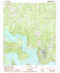
 2012 De Loutre2012 Print · USGSCovers Terral Island, including Canbeal, Antioch, and other nearby areas
 - 2012 Map of Downsville North, 2012 Print
 2012 Downsville North2012 Print · USGSCovers Terral Island, including Farmerville, Sardis, and other nearby areas
 - 2012 Map of Farmerville, 2012 Print
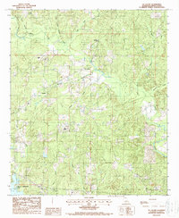
 2012 Farmerville2012 Print · USGSCovers Terral Island, including Farmerville, Webster Bluff, and other nearby areas
 - 2015 Map of Downsville North, 2015 Print
 2015 Downsville North2015 Print · USGSCovers Terral Island, including Farmerville, Sardis, and other nearby areas
 - 2015 Map of De Loutre, 2015 Print
 2015 De Loutre2015 Print · USGSCovers Terral Island, including Canbeal, Antioch, and other nearby areas
 - 2015 Map of Farmerville, 2015 Print
 2015 Farmerville2015 Print · USGSCovers Terral Island, including Farmerville, Webster Bluff, and other nearby areas
 - 2018 Map of De Loutre, 2018 Print
 2018 De Loutre2018 Print · USGSCovers Terral Island, including Canbeal, Antioch, and other nearby areas
 - 2018 Map of Farmerville, 2018 Print
 2018 Farmerville2018 Print · USGSCovers Terral Island, including Farmerville, Webster Bluff, and other nearby areas
 - 2018 Map of Downsville North, 2018 Print
 2018 Downsville North2018 Print · USGSCovers Terral Island, including Farmerville, Sardis, and other nearby areas
 - 2020 Map of De Loutre, 2020 Print
 2020 De Loutre2020 Print · USGSCovers Terral Island, including Canbeal, Antioch, and other nearby areas
 - 2020 Map of Farmerville, 2020 Print
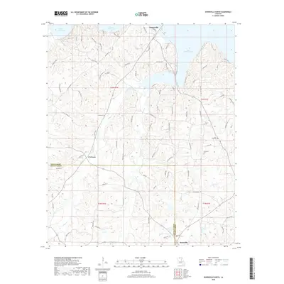
 2020 Farmerville2020 Print · USGSCovers Terral Island, including Farmerville, Webster Bluff, and other nearby areas
 - 2020 Map of Downsville North, 2020 Print
 2020 Downsville North2020 Print · USGSCovers Terral Island, including Farmerville, Sardis, and other nearby areas
 - 2024 Map of De Loutre, 2024 Print
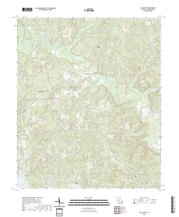 2024 De Loutre2024 Print · USGSUnion Parish at the start of the 2020s remains a landscape defined by the winding Bayou de Loutre and its quiet timberlands. Researchers can trace local lineages through Edwards Cem and Antioch Cem or locate the historic site of Defees Ferry.
 - 2024 Map of Downsville North, 2024 Print
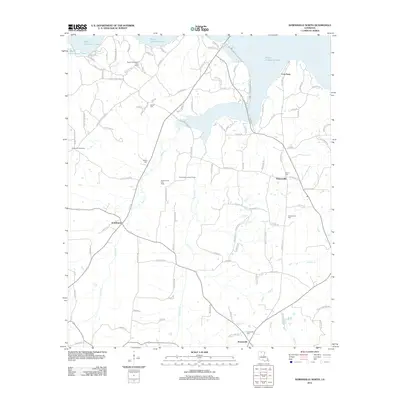
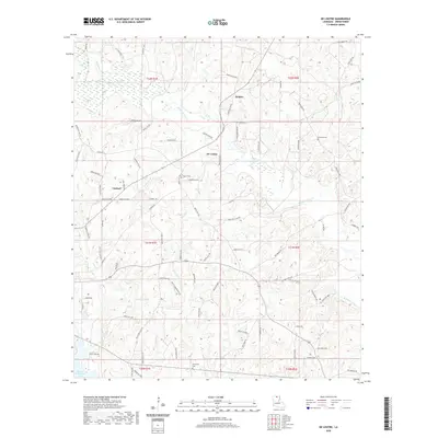
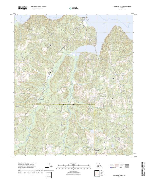 2024 Downsville North2024 Print · USGSUnion and Lincoln Parishes meet in this northern Louisiana landscape defined by the waters of Bayou D'Arbonne Lake. Researchers can trace local lineage through Sardis Cem, Holmesville Cem, and the old church grounds at Mount Nebo Cem.
 - 2024 Map of Farmerville, 2024 Print
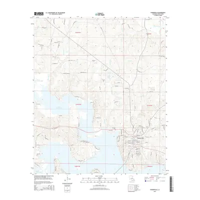
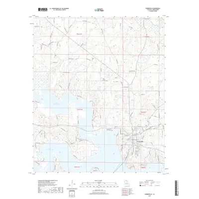
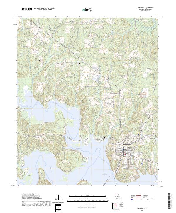 2024 Farmerville2024 Print · USGSFarmerville and the surrounding Union Parish landscape are captured here in the mid-2020s, centered on the historic Union Parish Courthouse. Genealogists and local historians can trace family locations near Pearson Cem, Rabun Cem, and the shores of Bayou D'Arbonne Lake.
End of results
Showing maps 1-24 of 24
Top cities near Terral Island
- Ruston historical maps
- West Monroe historical maps
- Farmerville historical maps
- Choudrant historical maps
- Marion historical maps
- Spearsville historical maps
Frequently asked questions
- What are the different types of historical maps available for Terral Island?
- What is the oldest map of Terral Island?
- Where can I purchase historical maps of Terral Island for my home or office?
- Where can I download high-res historical maps of Terral Island?
- Are there historical topographic maps available for Terral Island?
- Is there historical aerial imagery available for Terral Island?
- Where are historical maps of Terral Island sourced from?