Old Maps of Maurice, Louisiana for Hiking & Exploration
Hike through history with 22 historic maps of Maurice. Explore old trails, ghost towns, and forgotten backroads — perfect for outdoor adventurers and local explorers.
- Rediscover forgotten places: Map out old mining camps, roads, and footpaths that no longer exist on modern maps.
- Layer with modern tools: Combine with LiDAR or satellite views to plan hikes through historical terrain.
- Made for exploration: Popular among hikers, overlanders, and local history lovers.
Use these maps to find adventure and explore the hidden past of Maurice.
Maurice, LA maps
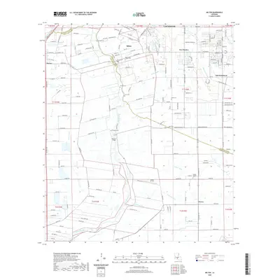
(22)- 1946 Map of Milton
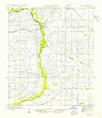
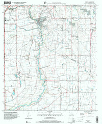
 1946 Milton1946 Print · USGSCajun country at the end of the Second World War is centered here on the winding Vermilion River. Genealogists can locate family-named landmarks like LeBlanc Sch and Langlinais Sch or trace the early paths of Maurice and Milton.
 - 1946 Map of Leroy
 1946 Leroy1946 Print · USGSVermilion Parish rural life in the mid-1940s is defined by its early rice irrigation systems and Acadian community centers. Researchers can locate family landmarks like Petre Cem and Broussard Cem or trace the early postal routes through Indian Bayou PO and Leroy.
 - 1952 Map of Lake Charles
 1952 Lake Charles1952 Print · USGSSouthwest Louisiana is captured here in the mid-fifties, showing a landscape defined by the rise of the petrochemical industry and deep-water navigation. Researchers can trace family roots through numerous small-town settlements and oil developments like Nibletts Bluff, the Lockport Oil Field, and Starks.
 - 1954 Map of Leroy
 1954 Leroy1954 Print · USGSVermilion Parish in the mid-fifties is captured here as a landscape of irrigation canals and dispersed rural settlements. Family historians can locate family-named burial sites like Abshire Cem and small communities such as Leroy, Andrew, and Meaux.
 - 1954 Map of Milton
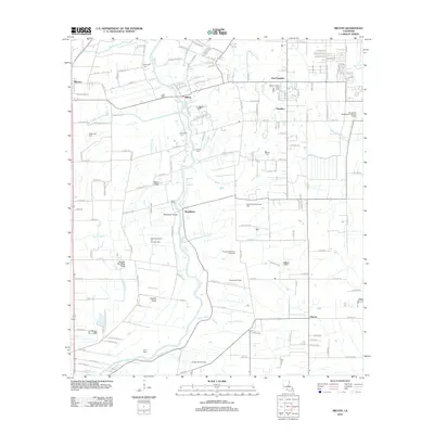
 1954 Milton1954 Print · USGSLafayette and Vermilion Parish life in the 1950s is defined by the winding Vermilion River and the rural rail economy. Genealogists and local historians can trace the locations of Le Blanc Sch, the Southern Pacific line, and early tracks in Milton.
 - 1954 Map of Lake Charles, 1964 Print
 1954 Lake Charles1964 Print · USGSSouthwest Louisiana in the mid-fifties is defined by its massive petroleum industry and its complex network of bayous and rail lines. Researchers can trace the development of the Sulphur Mines Oil Field or locate historic settlements like Longville and De Quincy.3 unique versions available
 - 1955 Map of Lafayette, 1956 Print
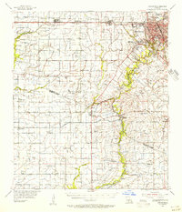 1955 Lafayette1956 Print · USGSMid-century Acadiana is captured here as LAFAYETTE expands near traditional settlements like Youngsville and Maurice. Genealogists and historians can locate numerous family-named landmarks, such as Abshire Cem, Judice High Sch, and the Duson Gas Field.5 unique versions available
 - 1983 Map of Leroy
 1983 Leroy1983 Print · USGSVermilion Parish in the early 1980s reveals a specialized landscape of bayous and canals supporting rural settlements. Researchers can trace family history through sites like Abshire Cem and Broussard Cem or locate the old Wolfs Airport and Leroy.
 - 1983 Map of Milton
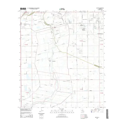
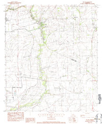 1983 Milton1983 Print · USGSThe Acadiana region in the early eighties shows a landscape of river-fronting settlements and extensive canal systems. Genealogists can locate family burial sites at Picard Cem and Bodoin Cem or trace the early bounds of Milton and Youngsville.2 unique versions available
 - 1985 Map of Crowley, 1986 Print
 1985 Crowley1986 Print · USGSCoastal prairie and bayou country are captured in the mid-eighties as the rice-and-rail economy defined South Louisiana life. Genealogists and researchers can trace family lands and rural hubs from Crowley to Jennings, following the paths of the Southern Pacific Railroad and the winding Mermentau River.2 unique versions available
 - 1994 Map of Milton, 1998 Print
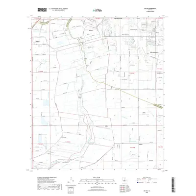
 1994 Milton1998 Print · USGSLafayette and Vermilion Parishes are shown in the mid-nineties during a period of residential expansion along the Vermilion River. Researchers can trace family history at Picard Cem or Gallet Cem and locate historic community hubs in Milton, Maurice, and Charon.
 - 1998 Map of Milton, 2000 Print
 1998 Milton2000 Print · USGSLafayette and Vermilion Parishes are shown at the turn of the millennium, shaped by the winding Vermilion River and a dense network of coulees. Genealogists and local historians can trace family ties at Picard Cem and Bodoin Cem or locate the early centers of Milton and Maurice.
 - 2012 Map of Leroy, 2012 Print
 2012 Leroy2012 Print · USGSCovers Maurice, including Leroy, Meaux, and other nearby areas
 - 2012 Map of Milton, 2012 Print
 2012 Milton2012 Print · USGSCovers Maurice, including Lafayette, Youngsville, and other nearby areas
 - 2015 Map of Leroy, 2015 Print
 2015 Leroy2015 Print · USGSCovers Maurice, including Leroy, Meaux, and other nearby areas
 - 2015 Map of Milton, 2015 Print
 2015 Milton2015 Print · USGSCovers Maurice, including Lafayette, Youngsville, and other nearby areas
 - 2018 Map of Leroy, 2018 Print
 2018 Leroy2018 Print · USGSCovers Maurice, including Leroy, Meaux, and other nearby areas
 - 2018 Map of Milton, 2018 Print
 2018 Milton2018 Print · USGSCovers Maurice, including Lafayette, Youngsville, and other nearby areas
 - 2020 Map of Milton, 2020 Print
 2020 Milton2020 Print · USGSCovers Maurice, including Lafayette, Youngsville, and other nearby areas
 - 2020 Map of Leroy, 2020 Print
 2020 Leroy2020 Print · USGSCovers Maurice, including Leroy, Meaux, and other nearby areas
 - 2024 Map of Leroy, 2024 Print
 2024 Leroy2024 Print · USGSVermilion and Lafayette Parishes meet in this prairie landscape during the early 2020s, showing a region defined by agricultural coulees and rural communities. Genealogists can locate several local burial sites including Leroy Catholic Cem, Reynders Cem, and Petrey Cem.
 - 2024 Map of Milton, 2024 Print
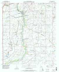
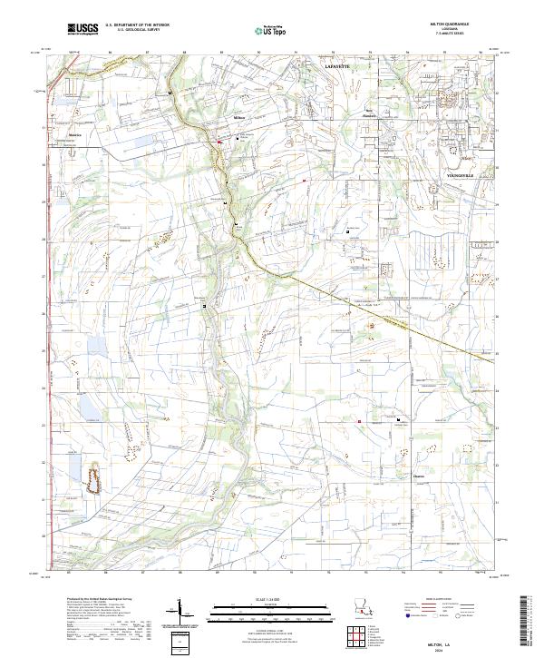 2024 Milton2024 Print · USGSCoastal prairie and bayou country meet at the parish line south of Lafayette in this recent survey. Researchers can trace family history through a high density of rural burial sites, such as Broussard Cem, Picard Cem, and Woodlawn Cem.
End of results
Showing maps 1-22 of 22
Top cities near Maurice
- Lafayette historical maps
- Abbeville historical maps
- Rayne historical maps
- Scott historical maps
- Breaux Bridge historical maps
- Carencro historical maps
See more
Frequently asked questions
- What are the different types of historical maps available for Maurice?
- What is the oldest map of Maurice?
- Where can I purchase historical maps of Maurice for my home or office?
- Where can I download high-res historical maps of Maurice?
- Are there historical topographic maps available for Maurice?
- Is there historical aerial imagery available for Maurice?
- Where are historical maps of Maurice sourced from?