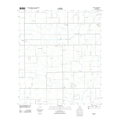
2012 Map of Leroy
USGS Topo · Published 2012About this map
Bayou Grand Marais and Granges Coulee wind through this part of Vermilion Parish, defining a landscape where agriculture and the natural gas industry sit side-by-side. The 2012 survey illustrates the dispersed settlement patterns characteristic of the Acadiana region, with small community centers like Leroy, Meaux, and Maurice connected by a dense grid of parish roads named for local families.
Find a feature on this map
121 named features on this map. Tap any name to fly to it.
Don’t see what you’re looking for? This feature index may not catch every label — zoom into the map to look around manually.
Map Details
Editions of this 2012 Leroy Map
This is the sole edition of this map. No revisions or reprints were ever made.
Other maps of this area

1932 · Abbeville NE
USGS Topo · 1:31,680

1932 · Abbeville NW
USGS Topo · 1:31,680

1934 · Duson
USGS Topo · 1:31,680

1946 · Milton
USGS Topo · 1:31,680

1946 · Leroy
USGS Topo · 1:31,680

1946 · Schooner Bayou NE
USGS Topo · 1:31,680

1946 · Lafayette
USGS Topo · 1:31,680

1946 · Kaplan
USGS Topo · 1:31,680

1946 · Rayne
USGS Topo · 1:31,680

1952 · Lake Charles
USGS Topo · 1:250,000