2000s (21st Century) Maps of Hutton, Louisiana
Explore 6 historic maps of Hutton from the 2000s (21st Century). These maps offer a rare glimpse into what life looked like during the 2000s — showing old roads, neighborhoods, homes, and landmarks that have changed or disappeared over time.
Whether you're researching your family's past, planning a metal detecting trip, or studying how Hutton's landscape evolved across the 2000s, these high-resolution maps are a powerful tool for exploring the history of this region.
- Focus on a specific era: All maps on this page are from the 2000s, giving you a focused view of this time period.
- See what’s changed: Compare century-old streets, trails, and buildings to today's modern landscape using overlays and satellite layers.
- Research with precision: Use these maps for genealogy, historical research, land use analysis, or educational projects.
- View, download, or print: Maps are fully viewable online in high resolution, and can be downloaded or printed for your own records.
Start exploring Hutton's history through authentic maps from the 2000s. This is your window into the past.
Hutton, LA maps
(6)- 2003 Map of Simpson North, 2005 Print
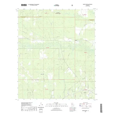
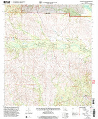 2003 Simpson North2005 Print · USGSNorth of Simpson at the turn of the millennium, this area of Vernon Parish shows a landscape of timber and winding creeks. Genealogists can locate family sites such as Robinson Cem and Welcome Cem or the settlements of Hutton and Simpson.
 - 2012 Map of Simpson North, 2012 Print
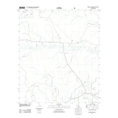 2012 Simpson North2012 Print · USGSCovers Hutton, including Simpson, Vernon Parish, and other nearby areas
 - 2015 Map of Simpson North, 2015 Print
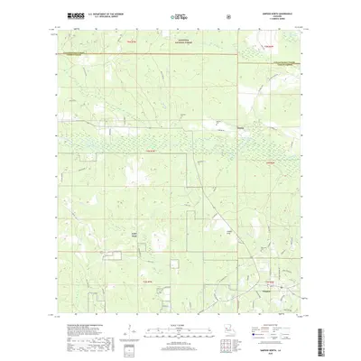
 2015 Simpson North2015 Print · USGSCovers Hutton, including Simpson, Vernon Parish, and other nearby areas
 - 2018 Map of Simpson North, 2018 Print
 2018 Simpson North2018 Print · USGSCovers Hutton, including Simpson, Vernon Parish, and other nearby areas
 - 2020 Map of Simpson North, 2020 Print
 2020 Simpson North2020 Print · USGSCovers Hutton, including Simpson, Vernon Parish, and other nearby areas
 - 2024 Map of Simpson North, 2024 Print
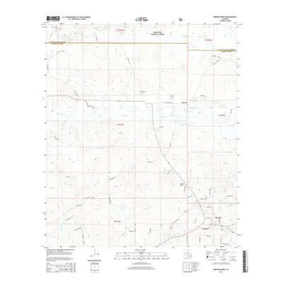
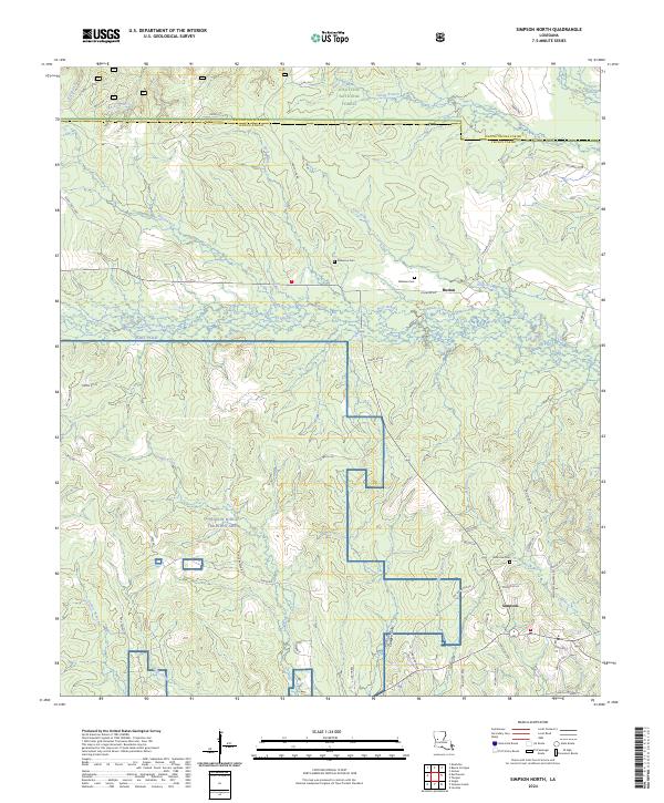 2024 Simpson North2024 Print · USGSVernon Parish at the start of the 2020s shows a landscape where small settlements like Simpson and Hutton sit alongside expansive military training grounds. Genealogists can locate family sites such as Robinson Cem or Welcome Cem while tracing the winding paths of Comrade Creek.
End of results
Showing maps 1-6 of 6
Top cities near Hutton
Frequently asked questions
- What are the different types of historical maps available for Hutton?
- What is the oldest map of Hutton?
- Where can I purchase historical maps of Hutton for my home or office?
- Where can I download high-res historical maps of Hutton?
- Are there historical topographic maps available for Hutton?
- Is there historical aerial imagery available for Hutton?
- Where are historical maps of Hutton sourced from?