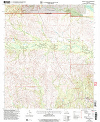
2003 Map of Simpson North
USGS Topo · Published 2005About this map
The northern reaches of Kisatchie National Forest dominate this landscape on the boundary of Natchitoches and Vernon Parishes. The terrain is defined by a dense network of drainages including Comrade Creek, Brush Creek, and Menace Creek, which carve through the timbered uplands of Central Louisiana. This survey reflects the rural character of the region at the turn of the 21st century, centered on small crossroads communities and scattered homesteads.
Find a feature on this map
17 named features on this map. Tap any name to fly to it.
Don’t see what you’re looking for? This feature index may not catch every label — zoom into the map to look around manually.
Map Details
Editions of this 2003 Simpson North Map
This is the sole edition of this map. No revisions or reprints were ever made.
Other maps of this area

1937 · Chopin SW
USGS Topo · 1:31,680

1937 · Chopin NW
USGS Topo · 1:31,680

1941 · Slagle
USGS Topo · 1:62,500

1942 · Kisatchie
USGS Topo · 1:62,500

1943 · Leander
USGS Topo · 1:62,500

1943 · Kisatchie
USGS Topo · 1:62,500

1944 · Chopin
USGS Topo · 1:62,500

1944 · Slagle
USGS Topo · 1:62,500

1948 · Chopin
USGS Topo · 1:62,500

1953 · Alexandria
USGS Topo · 1:250,000