Old Maps of Jericho, Louisiana for Academic Research
Study the evolution of Jericho with 14 high-resolution historic maps. Whether you're teaching, researching, or modeling changes in land use, these maps provide essential visual documentation of urban, environmental, and geographic change.
- Analyze long-term change: Track patterns in development, transportation, and natural features.
- Ideal for environmental or urban studies: Support academic projects with primary historical map data.
- Use in the classroom or lab: Educators and researchers rely on these maps to bring historical context to life.
These maps are a powerful tool for teaching, research, and visualizing how Jericho has changed over the decades.
Jericho, LA maps
(14)- 1937 Map of Chopin SE
 1937 Chopin SE1937 Print · USGSThe timber country of central Louisiana comes into focus during the late Depression years, showing a landscape carved by industry. Genealogists and historians can trace the paths of the Logging Railroad and locate local landmarks like Jericho and the Clifton Sch.
 - 1944 Map of Chopin
 1944 Chopin1944 Print · USGSCentral Louisiana during the early 1940s shows a landscape defined by timber harvesting and the winding Red River. Local historians can trace logging tracks and old community centers like Zimmerman Camp, Mora Ch, and Galbraith Sta.
 - 1948 Map of Chopin, 1956 Print
 1948 Chopin1956 Print · USGSLouisiana's timber and rail history comes to life in this mid-century survey of the rural backcountry spanning Natchitoches and Rapides Parishes. Researchers can trace the legacy of small communities and family-named sites like Galbraith Sta, Temple Spur, and the Blackwell Cem.
 - 1953 Map of Alexandria, 1963 Print
 1953 Alexandria1963 Print · USGSCentral Louisiana during the early fifties is mapped here at the intersection of the piney woods and the Red River valley. Genealogists and historians can trace the rail-and-river network connecting towns like Alexandria, Natchitoches, and the grounds of Camp Beauregard.3 unique versions available
 - 1954 Map of Jericho, 1959 Print
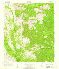 1954 Jericho1959 Print · USGSCentral Louisiana in the mid-fifties reveals a landscape of working timber lands and quiet rural settlements. Researchers can trace the path of the dismantled railroad or locate family roots near Pisgah Church, Clifton, and the Hill Cemetery.4 unique versions available
 - 1954 Map of Chopin, 1959 Print
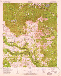 1954 Chopin1959 Print · USGSCentral Louisiana in the mid-fifties shows a landscape defined by timber and the Cane River valley. Genealogists and historians can trace numerous remote cemeteries and churches, such as Gorum Cem, Holy Family Church, and the logging community at Zimmerman Camp.2 unique versions available
 - 1955 Map of Alexandria
 1955 Alexandria1955 Print · USGSCentral Louisiana in the mid-fifties is a landscape of river-port cities, sprawling timberlands, and massive military reservations. Genealogists and historians can trace the rail networks of the Texas & Pacific RR and locate sites like Camp Polk Military Reservation and Natchitoches.
 - 1986 Map of Alexandria
 1986 Alexandria1986 Print · USGSCentral Louisiana in the mid-eighties shows a landscape of strategic military installations and deep river-valley agriculture. Researchers can trace the footprints of England Air Force Base, Camp Beauregard, and the extensive Kisatchie National Forest.2 unique versions available
 - 2003 Map of Jericho, 2005 Print
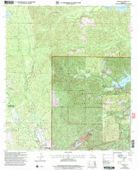 2003 Jericho2005 Print · USGSRapides and Vernon Parishes are shown in the early 2000s as a landscape of managed timberlands and forest settlements. Researchers can locate the Noel Cem and Pisgah Ch near the quiet communities of Jericho and Clifton.
 - 2012 Map of Jericho, 2012 Print
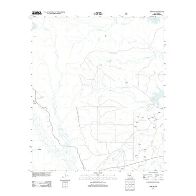 2012 Jericho2012 Print · USGSCentral Louisiana timberlands and creek valleys are documented here during the early twenty-first century. Genealogists and local historians can trace family locations near Clifton, Ball Cem, and the waters of Cotile Lake.
 - 2015 Map of Jericho, 2015 Print
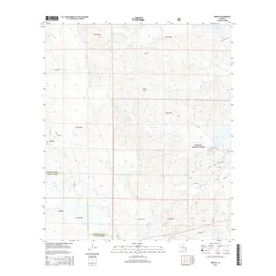 2015 Jericho2015 Print · USGSThe borderlands of Rapides and Vernon Parishes come into focus in the mid-2010s, showcasing the rural character of the Louisiana piney woods. Genealogists and historians can locate remote landmarks like Hill Cem, the settlement of Jericho, and the winding path of Canal Bayou.
 - 2018 Map of Jericho, 2018 Print
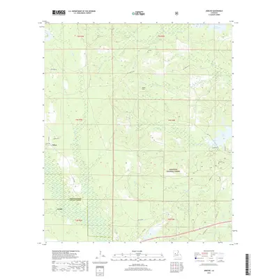 2018 Jericho2018 Print · USGSThe Louisiana pine woods of the early twenty-first century are captured here, centered on the boundary of Rapides and Vernon Parishes. Researchers can trace rural lineages through sites like Noel Cem and Hill Cem or locate the small settlements of Jericho and Clifton.
 - 2020 Map of Jericho, 2020 Print
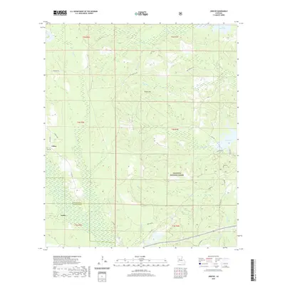 2020 Jericho2020 Print · USGSCentral Louisiana's pine woods and parish borders are captured here in the 2020s, showing the intersection of Kisatchie National Forest and local settlements. Researchers can trace rural lineages at Noel Cemetery and Hill Cemetery or follow the waters of Canal Bayou.
 - 2024 Map of Jericho, 2024 Print
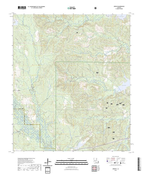 2024 Jericho2024 Print · USGSCentral Louisiana timberlands and the Kisatchie National Forest are shown in detail as they appeared in the early twenty-first century. Genealogists and local historians can trace family locations near Clifton, Jericho, and small burial sites like Noel Cem.
End of results
Showing maps 1-14 of 14
Top cities near Jericho
Frequently asked questions
- What are the different types of historical maps available for Jericho?
- What is the oldest map of Jericho?
- Where can I purchase historical maps of Jericho for my home or office?
- Where can I download high-res historical maps of Jericho?
- Are there historical topographic maps available for Jericho?
- Is there historical aerial imagery available for Jericho?
- Where are historical maps of Jericho sourced from?