Old Maps of Stein, Louisiana
Explore 17 old maps of Stein, spanning from 1942 to today. These high-resolution historic maps reveal how streets, neighborhoods, landmarks, and natural features evolved over time — perfect for genealogy, metal detecting, research, and local history exploration.
What you can do with these maps:
- See how Stein changed over time: Compare historical maps to modern-day views to trace roads, homesites, rail lines & more.
- View detailed metadata: Each map includes creators, publishers, year, scale, and archive source.
- Overlay maps with satellite & LiDAR: Visualize the past alongside modern tools to explore terrain & human change.
- Trusted historical sources: Maps sourced from the USGS, Library of Congress, and other archives.
- Access maps your way: View online, download high-res files, or order prints for personal or research use.
Start exploring old maps of Stein to uncover forgotten places, hidden landmarks, and the deep history beneath your feet.
Stein, LA maps
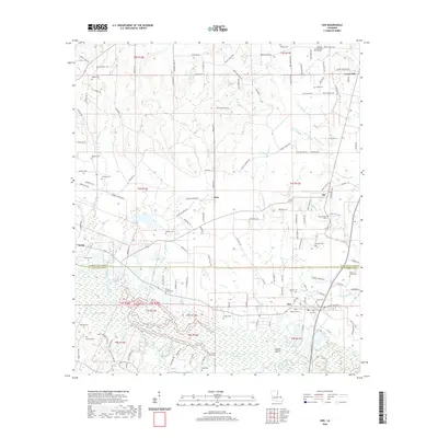
(17)- 1942 Map of Rio
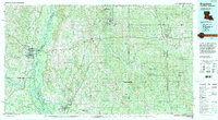
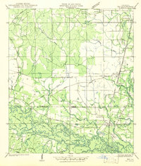 1942 Rio1942 Print · USGSThe borderlands of Washington and St. Tammany Parishes are captured here in the early 1940s as the Bogue Chitto River winds through the southern woods. Researchers can locate many family-named landmarks including the Old Magee Cem, Rosenwald Sch, and the rail stop at Rio.
 - 1953 Map of Mobile, 1968 Print
 1953 Mobile1968 Print · USGSThe Gulf Coast comes alive in this mid-century survey, from the streets of Mobile to the marshes of New Orleans. Trace family roots in coastal towns like Pass Christian and Bayou La Batre or locate military landmarks including Keesler AFB.3 unique versions available
 - 1957 Map of Mobile
 1957 Mobile1957 Print · USGSThe Gulf Coast in the mid-1950s reveals a bustling corridor of rail-and-river commerce connecting Alabama to Louisiana. Genealogists and historians can trace old settlements and military hubs from Keesler Afb to the coastal reaches of Ship Island and Bogalusa.3 unique versions available
 - 1960 Map of Mobile
 1960 Mobile1960 Print · USGSThe Gulf Coast at the dawn of the sixties shows a landscape of busy ports, military airbases, and barrier islands. Trace the rail lines of the Louisville & Nashville through BILOXI and Pascagoula or find family history in towns like Bayou La Batre and Poplarville.
 - 1961 Map of Sun, 1963 Print
 1961 Sun1963 Print · USGSLife along the Louisiana and Mississippi border centered on the river and the rail in the early sixties. Researchers can trace family history through dozens of rural landmarks like Byrds Chapel, Rio, and the Gulf Mobile and Ohio line.3 unique versions available
 - 1963 Map of Mobile
 1963 Mobile1963 Print · USGSThe Gulf Coast at the dawn of the sixties shows a thriving maritime and military corridor from Louisiana to Alabama. Genealogists and historians can trace rail lines like the Louisville & Nashville RR and find landmarks from Brookley AFB to Fort Morgan.
 - 1965 Map of Mobile
 1965 Mobile1965 Print · USGSThe Gulf Coast at mid-century reveals a landscape of expanding ports and vital military installations from Louisiana to Alabama. Genealogists and historians can trace the growth of Biloxi, Pascagoula, and Mobile, alongside the sprawling De Soto National Forest.
 - 1976 Map of Sun NW, 1977 Print
 1976 Sun NW1977 Print · USGSWashington Parish in the mid-seventies is documented here through high-resolution aerial photography of the rural pine woods and bottomlands. Researchers can trace property lines and roads around SUN and RIO or follow the path of Lees Creek as it winds through the timber.
 - 1983 Map of Sun, 1984 Print
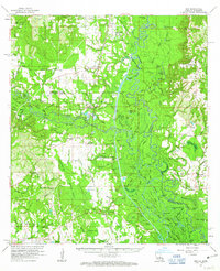
 1983 Sun1984 Print · USGSThe Bogue Chitto River lowlands of St. Tammany Parish are shown here in the early 1980s, revealing a landscape of winding sloughs and rail-side settlements. Genealogists can trace family landmarks like Hillview Memorial Gardens, Jerusalem Ch, and Lock No 3.
 - 1984 Map of Bogalusa
 1984 Bogalusa1984 Print · USGSThe Pearl River basin on the Louisiana-Mississippi border comes into focus in the mid-1980s, showcasing a landscape of river-bottom swamps and timberlands. Local researchers can trace the growth of Bogalusa and Picayune or find rural landmarks like Macedonia Ch and Wheat Swamp.
 - 1984 Map of Mobile
 1984 Mobile1984 Print · USGSThe Gulf Coast at the height of the mid-eighties shows a landscape of rapid industrial growth and military significance. Researchers can trace the sprawling rail lines of the Illinois Central Gulf RR, locate the NASA Test Facility, or study the barrier island chain from Cat Island to Petit Bois Island.3 unique versions available
 - 1994 Map of Bogalusa
 1994 Bogalusa1994 Print · USGSThe timber country and river bottoms of the Louisiana-Mississippi borderlands come alive in the mid-nineties. Genealogists and researchers can trace the rail-and-river geography of Bogalusa, the winding Pearl River, and family settlements like McNeill and Varnado.2 unique versions available
 - 2012 Map of Sun, 2012 Print
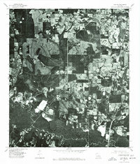
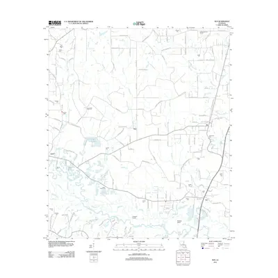 2012 Sun2012 Print · USGSCovers Stein, including Sun, Isabel, and other nearby areas
 - 2015 Map of Sun, 2015 Print
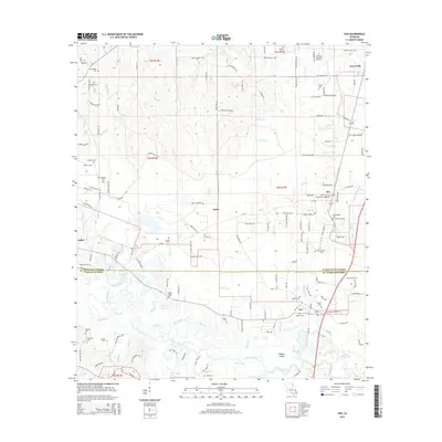 2015 Sun2015 Print · USGSCovers Stein, including Sun, Isabel, and other nearby areas
 - 2018 Map of Sun, 2018 Print
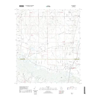 2018 Sun2018 Print · USGSCovers Stein, including Sun, Isabel, and other nearby areas
 - 2020 Map of Sun, 2020 Print
 2020 Sun2020 Print · USGSCovers Stein, including Sun, Isabel, and other nearby areas
 - 2024 Map of Sun, 2024 Print
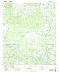
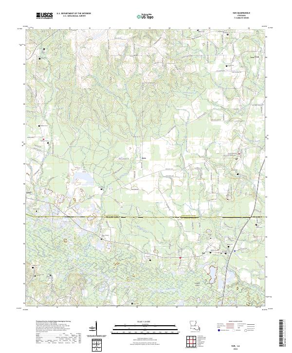 2024 Sun2024 Print · USGSThe riverlands of St. Tammany and Washington Parishes come alive in this survey of the Bogue Chitto valley. Genealogists can trace family burial sites at Talleys Chapel Cem and Mizell Cem, or explore the old river crossings near Sun and Holdens Island.
End of results
Showing maps 1-17 of 17
Top cities near Stein
- Bogalusa historical maps
- Picayune historical maps
- Covington historical maps
- Franklinton historical maps
- Abita Springs historical maps
- Sun historical maps
See more
Frequently asked questions
- What are the different types of historical maps available for Stein?
- What is the oldest map of Stein?
- Where can I purchase historical maps of Stein for my home or office?
- Where can I download high-res historical maps of Stein?
- Are there historical topographic maps available for Stein?
- Is there historical aerial imagery available for Stein?
- Where are historical maps of Stein sourced from?