2020s Maps of West Baton Rouge Parish, Louisiana
Explore 18 historic maps of West Baton Rouge Parish from the 2020s. These maps offer a rare glimpse into what life looked like during the 2020s — showing old roads, neighborhoods, homes, and landmarks that have changed or disappeared over time.
Whether you're researching your family's past, planning a metal detecting trip, or studying how West Baton Rouge Parish's landscape evolved across the 2020s, these high-resolution maps are a powerful tool for exploring the history of this region.
- Focus on a specific era: All maps on this page are from the 2020s, giving you a focused view of this time period.
- See what’s changed: Compare century-old streets, trails, and buildings to today's modern landscape using overlays and satellite layers.
- Research with precision: Use these maps for genealogy, historical research, land use analysis, or educational projects.
- View, download, or print: Maps are fully viewable online in high resolution, and can be downloaded or printed for your own records.
Start exploring West Baton Rouge Parish's history through authentic maps from the 2020s. This is your window into the past.
West Baton Rouge Parish, LA maps
(18)- 2020 Map of Plaquemine, 2020 Print
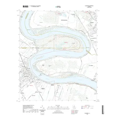 2020 Plaquemine2020 Print · USGSCovers West Baton Rouge Parish, including Baton Rouge, St. George, and other nearby areas
 - 2020 Map of Baton Rouge West, 2020 Print
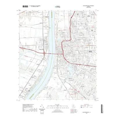 2020 Baton Rouge West2020 Print · USGSCovers West Baton Rouge Parish, including Baton Rouge, Port Allen, and other nearby areas
 - 2020 Map of Addis, 2020 Print
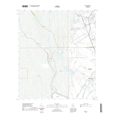 2020 Addis2020 Print · USGSCovers West Baton Rouge Parish, including Plaquemine, Addis, and other nearby areas
 - 2020 Map of Erwinville, 2020 Print
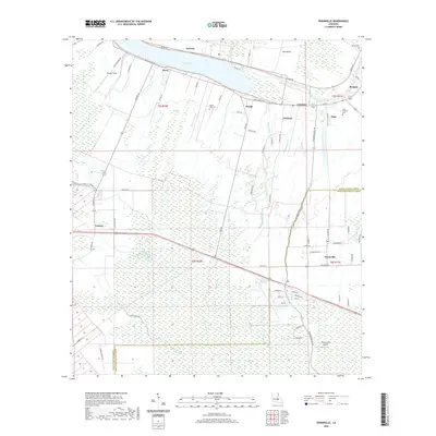 2020 Erwinville2020 Print · USGSCovers West Baton Rouge Parish, including Jarreau, Lakeland, and other nearby areas
 - 2020 Map of Port Hudson, 2020 Print
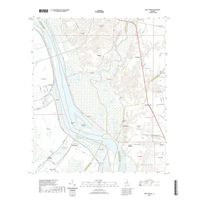 2020 Port Hudson2020 Print · USGSCovers West Baton Rouge Parish, including Mount Pleasant, Bonn, and other nearby areas
 - 2020 Map of Scotlandville, 2020 Print
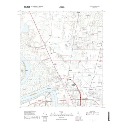 2020 Scotlandville2020 Print · USGSCovers West Baton Rouge Parish, including Baton Rouge, Baker, and other nearby areas
 - 2020 Map of Walls, 2020 Print
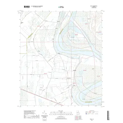 2020 Walls2020 Print · USGSCovers West Baton Rouge Parish, including Alfords, Yattan, and other nearby areas
 - 2020 Map of Lobdell, 2020 Print
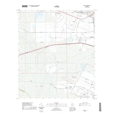 2020 Lobdell2020 Print · USGSCovers West Baton Rouge Parish, including Addis, Brusly, and other nearby areas
 - 2020 Map of Grosse Tete, 2020 Print
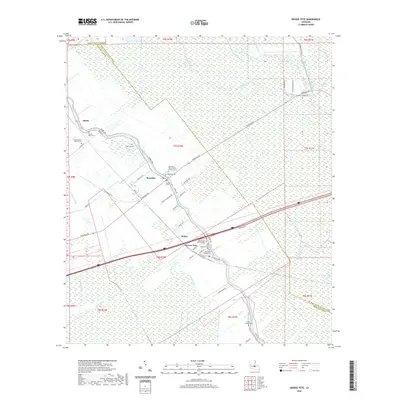 2020 Grosse Tete2020 Print · USGSCovers West Baton Rouge Parish, including Rosedale, Grosse Tete, and other nearby areas
 - 2024 Map of Addis, 2024 Print
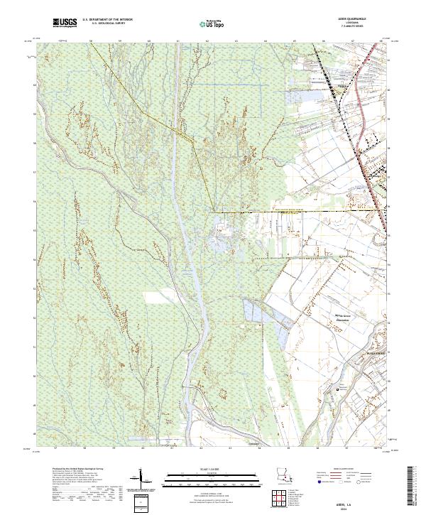 2024 Addis2024 Print · USGSThe area surrounding Addis and Plaquemine is shown here during a period of modern growth and maritime commerce. Trace family roots and land patterns near Myrtle Grove Plantation or the Grace Memorial Park Cem.
 - 2024 Map of Plaquemine, 2024 Print
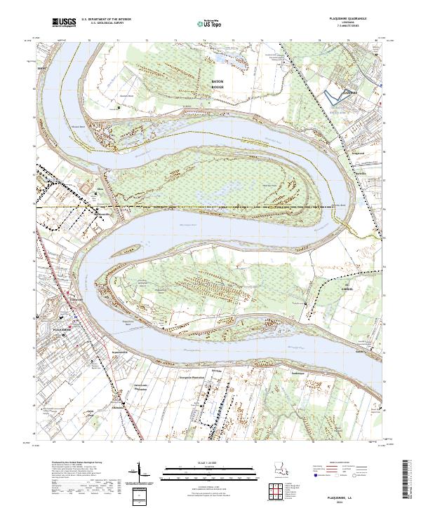 2024 Plaquemine2024 Print · USGSThe Mississippi River corridor south of Baton Rouge comes into focus through its historic river road communities and plantation lands. Trace the geography of Evergreen Plantation, visit the Iberville Parish Courthouse, or locate family sites at Saint Louis Plantation Cem.
 - 2024 Map of Walls, 2024 Print
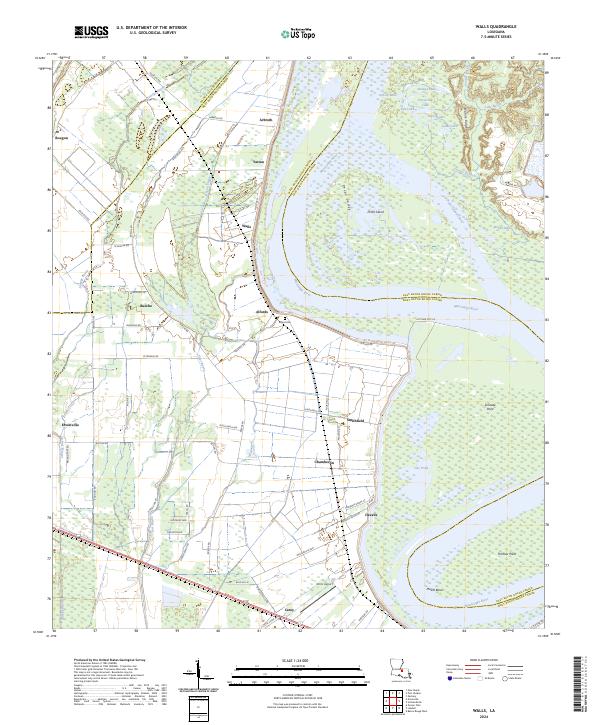 2024 Walls2024 Print · USGSThe West Baton Rouge riverfront in the early twenty-first century is a landscape of massive river bends and established delta communities. Local historians can trace family roots through the Alford Cem and explore settlements like Smithfield, Chamberlin, and Bueche.
 - 2024 Map of Erwinville, 2024 Print
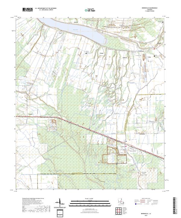 2024 Erwinville2024 Print · USGSThe borderlands of West Baton Rouge and Pointe Coupee Parishes are captured here in the 2020s, showing a landscape defined by Bayou Poydras and the False River. Trace local roots at Saint Ambrose Cem or the airfield at Schexnayder Airport.
 - 2024 Map of Lobdell, 2024 Print
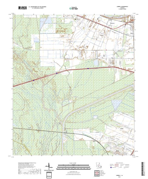 2024 Lobdell2024 Print · USGSWest Baton Rouge Parish in the 2020s remains a critical corridor for Louisiana water and rail traffic near the Mississippi. Researchers can trace historical settlement patterns from Lobdell and Ithra down to the growth of Addis and Brusly.
 - 2024 Map of Baton Rouge West, 2024 Print
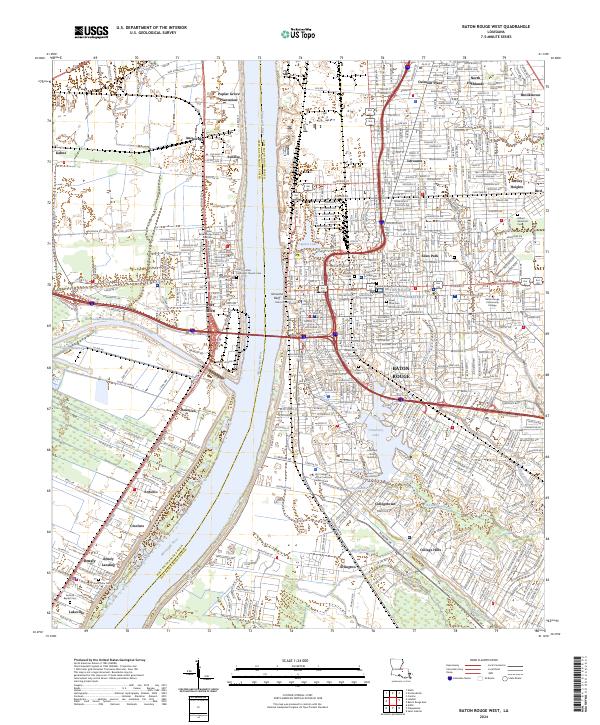 2024 Baton Rouge West2024 Print · USGSBaton Rouge and its riverfront neighbors are captured here in the mid-2020s as the modern city meets its deep plantation and maritime roots. Genealogists can trace family sites at the National Cemetery, Magnolia Cem, and Brusly Landing.
 - 2024 Map of Grosse Tete, 2024 Print
 2024 Grosse Tete2024 Print · USGSIberville Parish and its bayou settlements are captured in this recent survey of the Louisiana lowlands. Genealogists can locate family burial sites at Rose Hill Cem, Saint Joseph Cem, and the Episcopal Church of the Nativity Grave.
 - 2024 Map of Port Hudson, 2024 Print
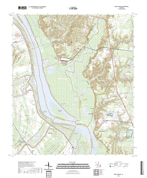 2024 Port Hudson2024 Print · USGSThe Mississippi River meanders through the Louisiana parishes of Pointe Coupee and the Felicianas in this modern survey. Researchers can trace memorial sites at Port Hudson National Cemetery and old settlements like Waterloo and Hermitage.
 - 2024 Map of Scotlandville, 2024 Print
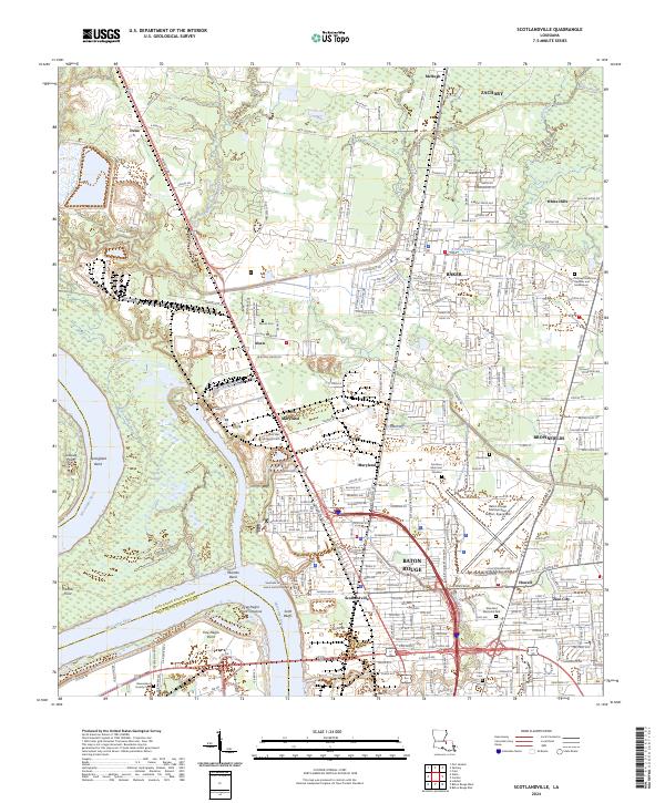 2024 Scotlandville2024 Print · USGSBaton Rouge and its northern suburbs are shown in high detail during this contemporary era of growth and industrial expansion. Genealogists and historians can locate legacy landmarks like Southern University and family-named sites such as Barnes Cem and Nick Wax Memorial Cem.
End of results
Showing maps 1-18 of 18
Top cities of West Baton Rouge Parish
Frequently asked questions
- What are the different types of historical maps available for West Baton Rouge Parish?
- What is the oldest map of West Baton Rouge Parish?
- Where can I purchase historical maps of West Baton Rouge Parish for my home or office?
- Where can I download high-res historical maps of West Baton Rouge Parish?
- Are there historical topographic maps available for West Baton Rouge Parish?
- Is there historical aerial imagery available for West Baton Rouge Parish?
- Where are historical maps of West Baton Rouge Parish sourced from?