2020s Maps of West Carroll Parish, Louisiana
Explore 28 historic maps of West Carroll Parish from the 2020s. These maps offer a rare glimpse into what life looked like during the 2020s — showing old roads, neighborhoods, homes, and landmarks that have changed or disappeared over time.
Whether you're researching your family's past, planning a metal detecting trip, or studying how West Carroll Parish's landscape evolved across the 2020s, these high-resolution maps are a powerful tool for exploring the history of this region.
- Focus on a specific era: All maps on this page are from the 2020s, giving you a focused view of this time period.
- See what’s changed: Compare century-old streets, trails, and buildings to today's modern landscape using overlays and satellite layers.
- Research with precision: Use these maps for genealogy, historical research, land use analysis, or educational projects.
- View, download, or print: Maps are fully viewable online in high resolution, and can be downloaded or printed for your own records.
Start exploring West Carroll Parish's history through authentic maps from the 2020s. This is your window into the past.
West Carroll Parish, LA maps
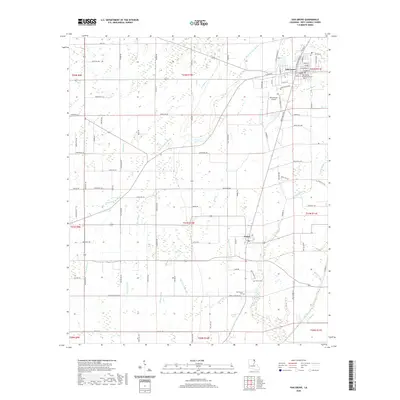
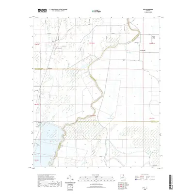
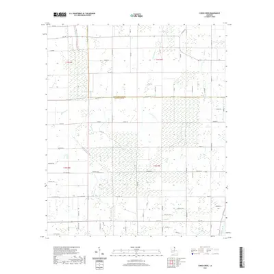
(28)- 2020 Map of Empire, 2020 Print
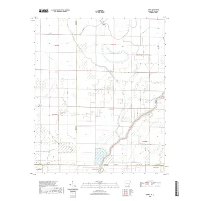 2020 Empire2020 Print · USGSCovers West Carroll Parish, including Millers Chapel, Empire, and other nearby areas
 - 2020 Map of Eudora South, 2020 Print
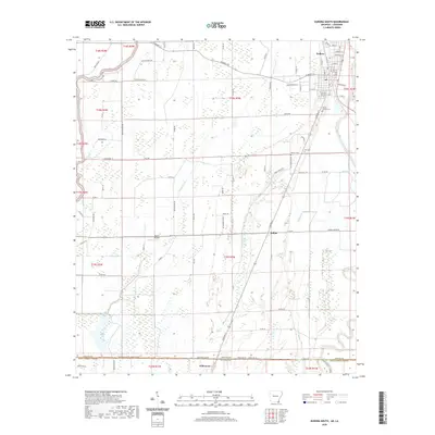 2020 Eudora South2020 Print · USGSCovers West Carroll Parish, including Eudora, Kilbourne, and other nearby areas
 - 2020 Map of Laark, 2020 Print
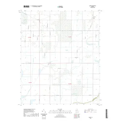 2020 Laark2020 Print · USGSCovers West Carroll Parish, including Laark, Morehouse Parish, and other nearby areas
 - 2020 Map of Pioneer, 2020 Print
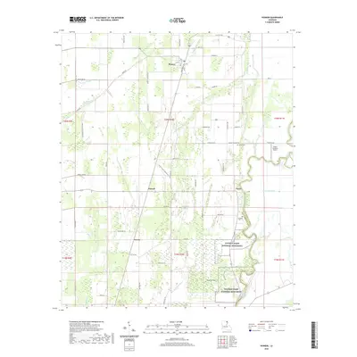 2020 Pioneer2020 Print · USGSCovers West Carroll Parish, including Pioneer, Darnell, and other nearby areas
 - 2020 Map of Oak Grove, 2020 Print
 2020 Oak Grove2020 Print · USGSCovers West Carroll Parish, including Oak Grove, Forest, and other nearby areas
 - 2020 Map of Bear Skin, 2020 Print
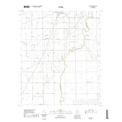
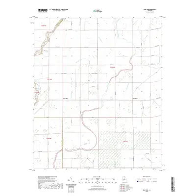 2020 Bear Skin2020 Print · USGSCovers West Carroll Parish, including Newhope, Bear Skin, and other nearby areas
 - 2020 Map of Baxter Bayou, 2020 Print
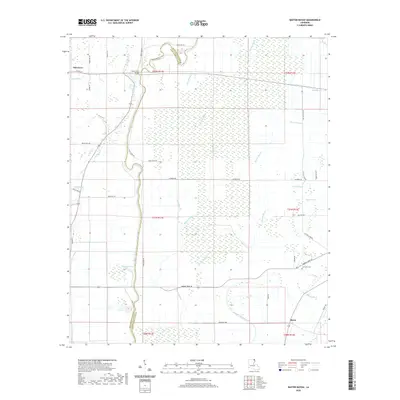 2020 Baxter Bayou2020 Print · USGSCovers West Carroll Parish, including Oak Grove, Bowie, and other nearby areas
 - 2020 Map of Fiske, 2020 Print
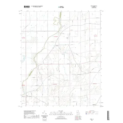 2020 Fiske2020 Print · USGSCovers West Carroll Parish, including Oak Grove, Concord, and other nearby areas
 - 2020 Map of Epps, 2020 Print
 2020 Epps2020 Print · USGSCovers West Carroll Parish, including Epps, Mitchiner, and other nearby areas
 - 2020 Map of Kilbourne, 2020 Print
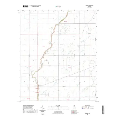
 2020 Kilbourne2020 Print · USGSCovers West Carroll Parish, including Kilbourne, Terry, and other nearby areas
 - 2020 Map of Goodwill, 2020 Print
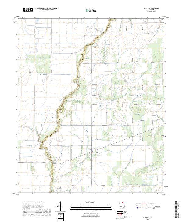
 2020 Goodwill2020 Print · USGSCovers West Carroll Parish, including Goodwill, Twin Bridges, and other nearby areas
 - 2020 Map of Caraway Lake, 2020 Print
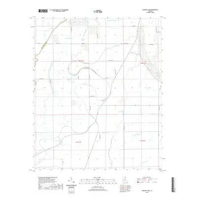 2020 Caraway Lake2020 Print · USGSCovers West Carroll Parish, including East Carroll Parish, United States, and other nearby areas
 - 2020 Map of Congo Creek, 2020 Print
 2020 Congo Creek2020 Print · USGSCovers West Carroll Parish, including Richland Parish, United States, and other nearby areas
 - 2020 Map of Whitney Island North, 2020 Print
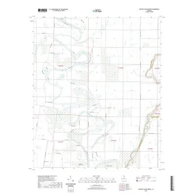 2020 Whitney Island North2020 Print · USGSCovers West Carroll Parish, including Morehouse Parish, Richland Parish, and other nearby areas
 - 2024 Map of Eudora South, 2024 Print
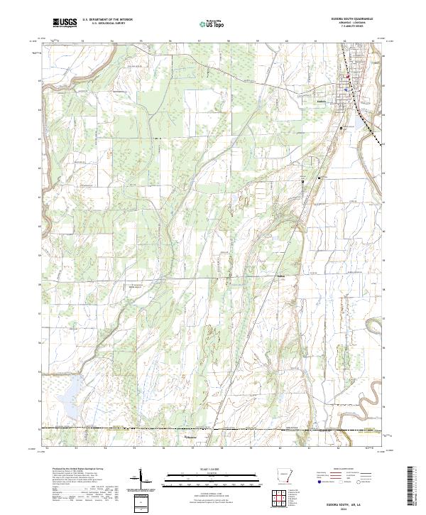 2024 Eudora South2024 Print · USGSThe Arkansas-Louisiana borderlands come into focus in this recent survey of the Chicot County region. Researchers can trace local lineage at Mount Carmel Cem or follow the winding courses of Bayou Macon and Boeuf River through the Delta landscape.
 - 2024 Map of Bear Skin, 2024 Print
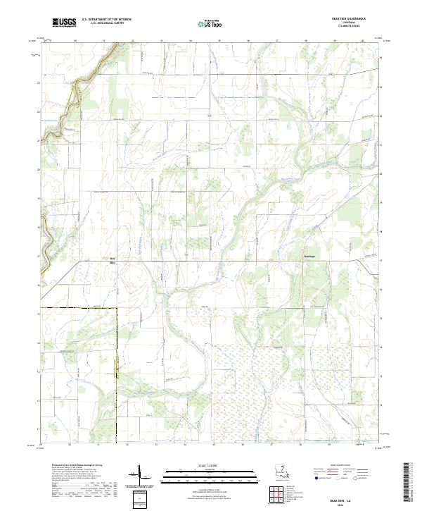 2024 Bear Skin2024 Print · USGSLouisiana's northeastern parishes are defined here by the winding Boeuf River and a network of bayous as they appeared in the early 2020s. Researchers can trace rural settlement patterns near Bear Skin and Newhope along family-named routes like Bennie Fowler Rd.
 - 2024 Map of Goodwill, 2024 Print
 2024 Goodwill2024 Print · USGSAgricultural life in West Carroll Parish during the early twenty-first century centers on the Boeuf River and the settlement of Goodwill. Researchers can trace old family holdings along Thomas Loop or follow the paths of Fivemile Slough and Rising Slough.
 - 2024 Map of Laark, 2024 Print
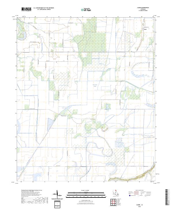 2024 Laark2024 Print · USGSMorehouse Parish at the edge of the West Carroll line is shown here as a complex web of wetlands and agricultural tracts in the early 2020s. Genealogists and researchers can trace local family land along LA Ark Rd, Dummie Line Rd, and the Boeuf River.
 - 2024 Map of Whitney Island North, 2024 Print
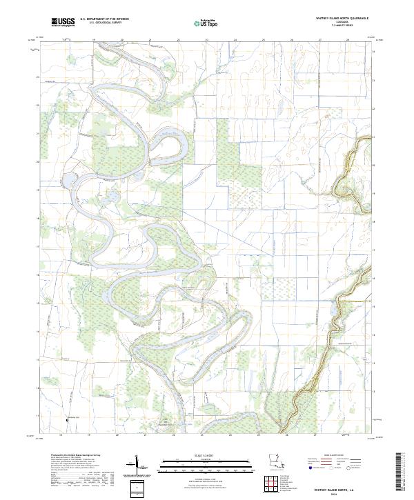 2024 Whitney Island North2024 Print · USGSMorehouse Parish is shown in the early 2020s as a landscape defined by the winding Bayou Bonne Idee and its surrounding wetlands. Researchers can trace family history at Wimberley Cem or explore the many oxbows and watercourses like Horseshoe Lake and Turkey Bayou.
 - 2024 Map of Fiske, 2024 Print
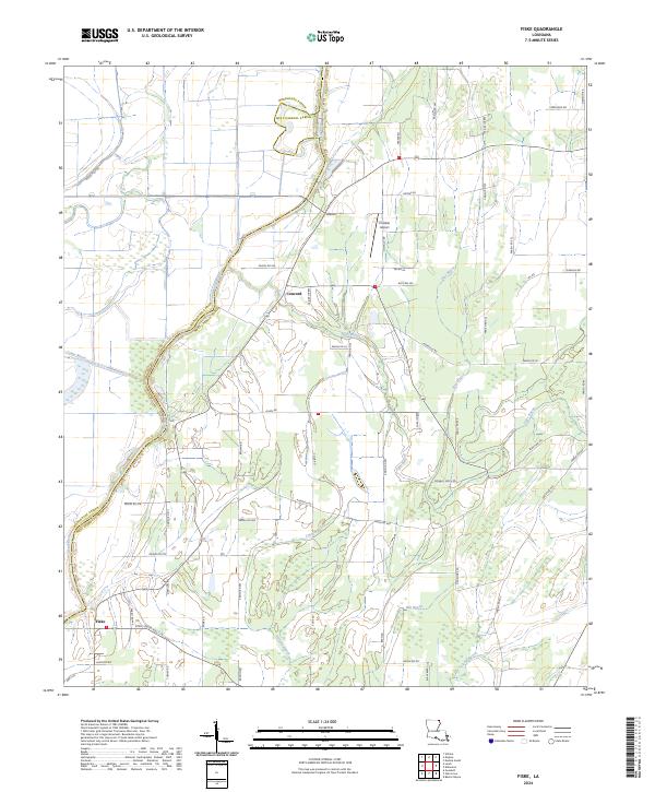 2024 Fiske2024 Print · USGSNorthern Louisiana at the start of the 2020s shows a landscape defined by its bayous and parish boundaries. Genealogists and researchers can locate Fiske, the Costello Airport, and the Boeuf River crossing.
 - 2024 Map of Oak Grove, 2024 Print
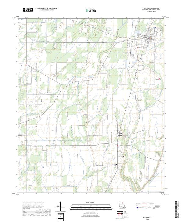 2024 Oak Grove2024 Print · USGSOak Grove and the surrounding West Carroll Parish countryside are captured in the mid-2020s, showing a landscape defined by delta agriculture and complex bayous. Researchers can trace local landmarks like the West Carroll Parish Courthouse, Forest Cem, and the winding Little Colewa Bayou.
 - 2024 Map of Kilbourne, 2024 Print
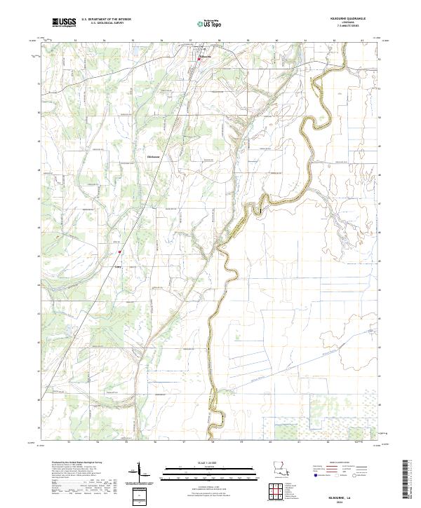 2024 Kilbourne2024 Print · USGSThis Louisiana Delta landscape in the mid-2020s shows the enduring rural character of West Carroll Parish. Genealogists and local historians can trace family locations along Bayou Macon and near the settlements of Kilbourne, Chickasaw, and Terry.
 - 2024 Map of Empire, 2024 Print
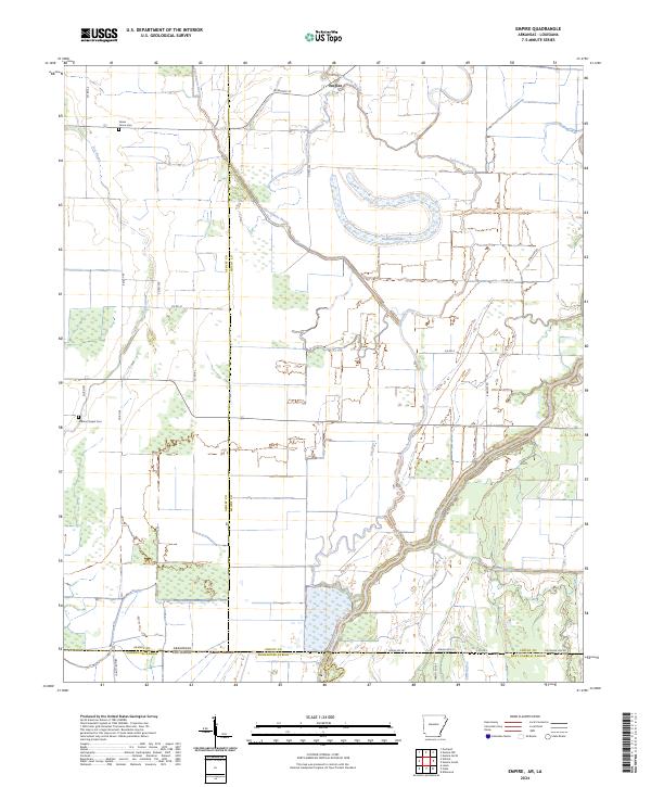 2024 Empire2024 Print · USGSThe Arkansas-Louisiana borderlands come into focus in this recent survey of the Chicot County and Morehouse Parish line. Genealogists and local historians can trace family land and rural landmarks like Green Grove Cem, Millers Chapel Cem, and the waters of Lafourche Bayou.
 - 2024 Map of Baxter Bayou, 2024 Print
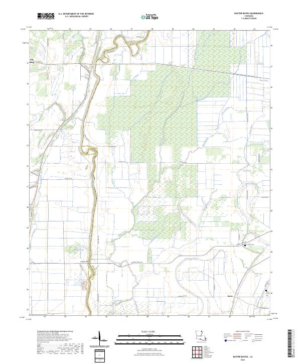 2024 Baxter Bayou2024 Print · USGSThe Louisiana delta country comes to life in this contemporary survey of the borderlands between West and East Carroll parishes. Trace local history through the Lone Star Star Cem, the settlement of Bowie, and the historic crossing at Corbins Ferry.
 - 2024 Map of Caraway Lake, 2024 Print
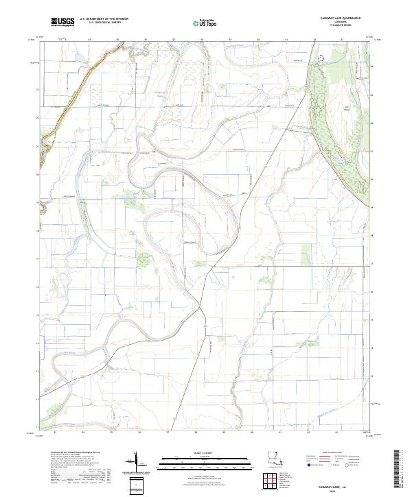 2024 Caraway Lake2024 Print · USGSEast Carroll Parish is captured here in the 2020s, showing a delta landscape defined by winding waterways and long-established parish roads. Researchers can trace historic crossings at Lanes Ferry Rd or locate the unique terrain of Lost Island and Joes Bayou.
Showing maps 1-25 of 28
Top cities of West Carroll Parish
- Oak Grove historical maps
- Kilbourne historical maps
- Epps historical maps
- Forest historical maps
- Pioneer historical maps
Frequently asked questions
- What are the different types of historical maps available for West Carroll Parish?
- What is the oldest map of West Carroll Parish?
- Where can I purchase historical maps of West Carroll Parish for my home or office?
- Where can I download high-res historical maps of West Carroll Parish?
- Are there historical topographic maps available for West Carroll Parish?
- Is there historical aerial imagery available for West Carroll Parish?
- Where are historical maps of West Carroll Parish sourced from?