Old Maps of Curry, Louisiana for Academic Research
Study the evolution of Curry with 11 high-resolution historic maps. Whether you're teaching, researching, or modeling changes in land use, these maps provide essential visual documentation of urban, environmental, and geographic change.
- Analyze long-term change: Track patterns in development, transportation, and natural features.
- Ideal for environmental or urban studies: Support academic projects with primary historical map data.
- Use in the classroom or lab: Educators and researchers rely on these maps to bring historical context to life.
These maps are a powerful tool for teaching, research, and visualizing how Curry has changed over the decades.
Curry, LA maps
(11)- 1953 Map of Alexandria, 1963 Print
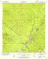
 1953 Alexandria1963 Print · USGSCentral Louisiana during the early fifties is mapped here at the intersection of the piney woods and the Red River valley. Genealogists and historians can trace the rail-and-river network connecting towns like Alexandria, Natchitoches, and the grounds of Camp Beauregard.3 unique versions available
 - 1954 Map of Tullos, 1955 Print
 1954 Tullos1955 Print · USGSLouisiana's timber and oil heartland comes to life in this mid-century survey of LaSalle and Winn Parishes. Genealogists and researchers can trace family roots through numerous rural landmarks like Zion Hill Ch, Adams Cem, and the rail settlements of Urania and Tullos.4 unique versions available
 - 1955 Map of Alexandria
 1955 Alexandria1955 Print · USGSCentral Louisiana in the mid-fifties is a landscape of river-port cities, sprawling timberlands, and massive military reservations. Genealogists and historians can trace the rail networks of the Texas & Pacific RR and locate sites like Camp Polk Military Reservation and Natchitoches.
 - 1984 Map of Georgetown, 1985 Print
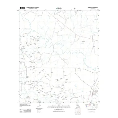
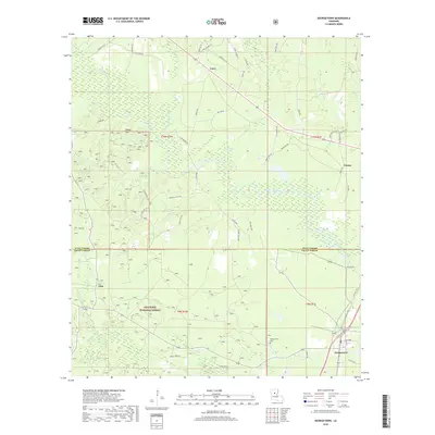
 1984 Georgetown1985 Print · USGSGeorgetown and the surrounding forest lands are captured in the mid-1980s as the regional timber and oil economies matured. Researchers can trace family-named landmarks like Pardon Hills or locate old community centers such as Zion and Curry.
 - 1986 Map of Winnfield
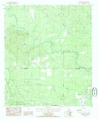
 1986 Winnfield1986 Print · USGSCentral Louisiana in the mid-1980s was a landscape of timber towns and rail junctions woven through the Kisatchie National Forest. Researchers can trace the legacy of the lumber and rail eras through settlements like Good Pine, Packton, and Zenoria.2 unique versions available
 - 2003 Map of Georgetown, 2005 Print
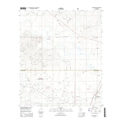
 2003 Georgetown2005 Print · USGSGeorgetown and the surrounding pine forests of Central Louisiana are documented here at the turn of the twenty-first century. Researchers can trace rural cemeteries and watercourses like the Dugdemona River while exploring the limits of the Kisatchie National Forest.
 - 2012 Map of Georgetown, 2012 Print
 2012 Georgetown2012 Print · USGSCovers Curry, including Georgetown, Zion, and other nearby areas
 - 2015 Map of Georgetown, 2015 Print
 2015 Georgetown2015 Print · USGSCovers Curry, including Georgetown, Zion, and other nearby areas
 - 2018 Map of Georgetown, 2018 Print
 2018 Georgetown2018 Print · USGSCovers Curry, including Georgetown, Zion, and other nearby areas
 - 2020 Map of Georgetown, 2020 Print
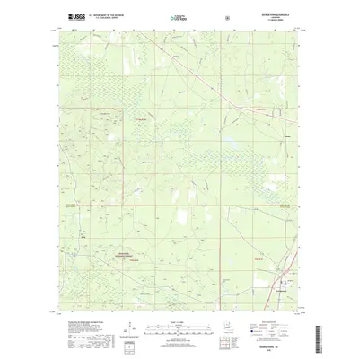 2020 Georgetown2020 Print · USGSCovers Curry, including Georgetown, Zion, and other nearby areas
 - 2024 Map of Georgetown, 2024 Print
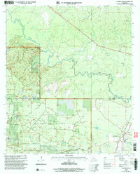
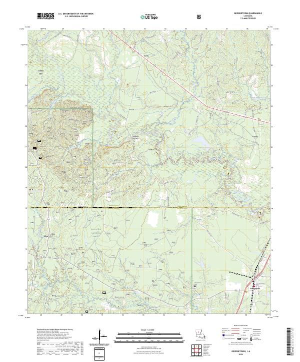 2024 Georgetown2024 Print · USGSIn the central Louisiana timberlands, this modern survey tracks the rural development along the Dugdemona River at the junction of Winn and Grant Parishes. Genealogists can locate family landmarks at Maxwells Old Ferry, Jordan Hill, and the Georgetown Cem.
End of results
Showing maps 1-11 of 11
Top cities near Curry
- Winnfield historical maps
- Olla historical maps
- Urania historical maps
- Tullos historical maps
- Dodson historical maps
- Georgetown historical maps
See more
Frequently asked questions
- What are the different types of historical maps available for Curry?
- What is the oldest map of Curry?
- Where can I purchase historical maps of Curry for my home or office?
- Where can I download high-res historical maps of Curry?
- Are there historical topographic maps available for Curry?
- Is there historical aerial imagery available for Curry?
- Where are historical maps of Curry sourced from?