Old Maps of Winnfield, Louisiana for Academic Research
Study the evolution of Winnfield with 17 high-resolution historic maps. Whether you're teaching, researching, or modeling changes in land use, these maps provide essential visual documentation of urban, environmental, and geographic change.
- Analyze long-term change: Track patterns in development, transportation, and natural features.
- Ideal for environmental or urban studies: Support academic projects with primary historical map data.
- Use in the classroom or lab: Educators and researchers rely on these maps to bring historical context to life.
These maps are a powerful tool for teaching, research, and visualizing how Winnfield has changed over the decades.
Winnfield, LA maps
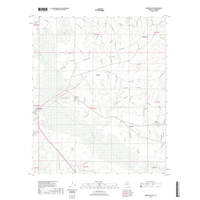
(17)- 1950 Map of Winnfield, 1960 Print
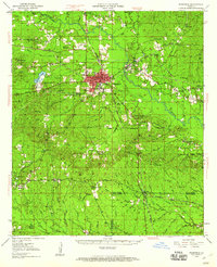 1950 Winnfield1960 Print · USGSNorth-central Louisiana centers on the timber and rail hub of Winnfield in the years following World War II. Genealogists and local historians can trace rural roots through landmarks like Sardis Ch, Crockett Cem, and the old rail siding at Carla.3 unique versions available
 - 1951 Map of Winnfield
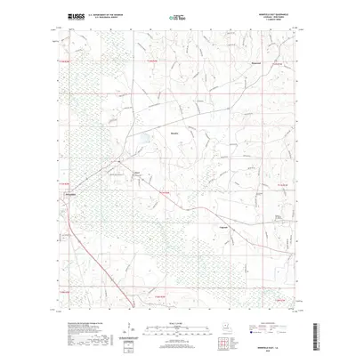
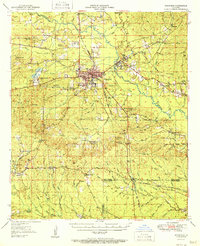 1951 Winnfield1951 Print · USGSMid-century Winn Parish is a landscape of timber and transit, where major rail lines intersect in the piney woods. Genealogists can locate family sites like McCarty Sch No 1, Morning Star Cem, and the small settlement at Tannehill.2 unique versions available
 - 1953 Map of Alexandria, 1963 Print
 1953 Alexandria1963 Print · USGSCentral Louisiana during the early fifties is mapped here at the intersection of the piney woods and the Red River valley. Genealogists and historians can trace the rail-and-river network connecting towns like Alexandria, Natchitoches, and the grounds of Camp Beauregard.3 unique versions available
 - 1955 Map of Alexandria
 1955 Alexandria1955 Print · USGSCentral Louisiana in the mid-fifties is a landscape of river-port cities, sprawling timberlands, and massive military reservations. Genealogists and historians can trace the rail networks of the Texas & Pacific RR and locate sites like Camp Polk Military Reservation and Natchitoches.
 - 1984 Map of Winnfield East, 1985 Print
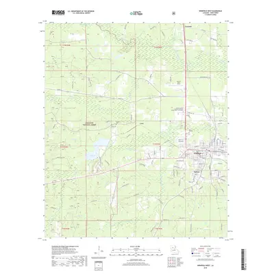
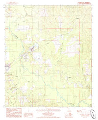 1984 Winnfield East1985 Print · USGSWinn Parish in the early eighties shows a landscape shaped by timber processing and river bottomlands. Researchers can locate the eastern neighborhoods of Winnfield, the industrial presence at Creosote, and several small communities like Joyce and Colgrade.
 - 1984 Map of Winnfield West, 1985 Print
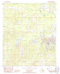 1984 Winnfield West1985 Print · USGSWinn Parish in the mid-1980s reveals a center of Louisiana timber and industry as the city of Winnfield expands westward. Researchers can trace rural school locations like the Schoolhouse, the extent of the Kisatchie National Forest, and small outposts at Kyiales and Carla.
 - 1986 Map of Winnfield
 1986 Winnfield1986 Print · USGSCentral Louisiana in the mid-1980s was a landscape of timber towns and rail junctions woven through the Kisatchie National Forest. Researchers can trace the legacy of the lumber and rail eras through settlements like Good Pine, Packton, and Zenoria.2 unique versions available
 - 2012 Map of Winnfield East, 2012 Print
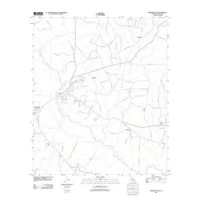 2012 Winnfield East2012 Print · USGSCovers Winnfield, including Ringwood, Menefee, and other nearby areas
 - 2012 Map of Winnfield West, 2012 Print
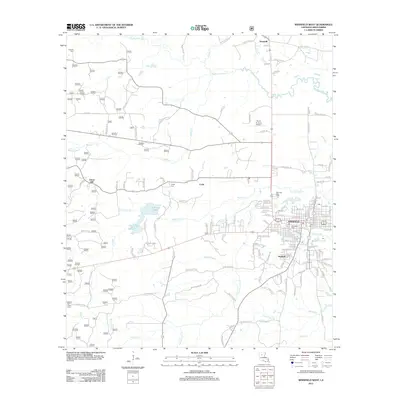 2012 Winnfield West2012 Print · USGSCovers Winnfield, including Tannehill, Union Hill, and other nearby areas
 - 2015 Map of Winnfield East, 2015 Print
 2015 Winnfield East2015 Print · USGSCovers Winnfield, including Ringwood, Menefee, and other nearby areas
 - 2015 Map of Winnfield West, 2015 Print
 2015 Winnfield West2015 Print · USGSCovers Winnfield, including Tannehill, Union Hill, and other nearby areas
 - 2018 Map of Winnfield East, 2018 Print
 2018 Winnfield East2018 Print · USGSCovers Winnfield, including Ringwood, Menefee, and other nearby areas
 - 2018 Map of Winnfield West, 2018 Print
 2018 Winnfield West2018 Print · USGSCovers Winnfield, including Tannehill, Union Hill, and other nearby areas
 - 2020 Map of Winnfield East, 2020 Print
 2020 Winnfield East2020 Print · USGSCovers Winnfield, including Ringwood, Menefee, and other nearby areas
 - 2020 Map of Winnfield West, 2020 Print
 2020 Winnfield West2020 Print · USGSCovers Winnfield, including Tannehill, Union Hill, and other nearby areas
 - 2024 Map of Winnfield East, 2024 Print
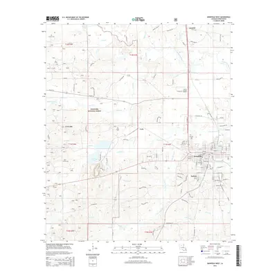
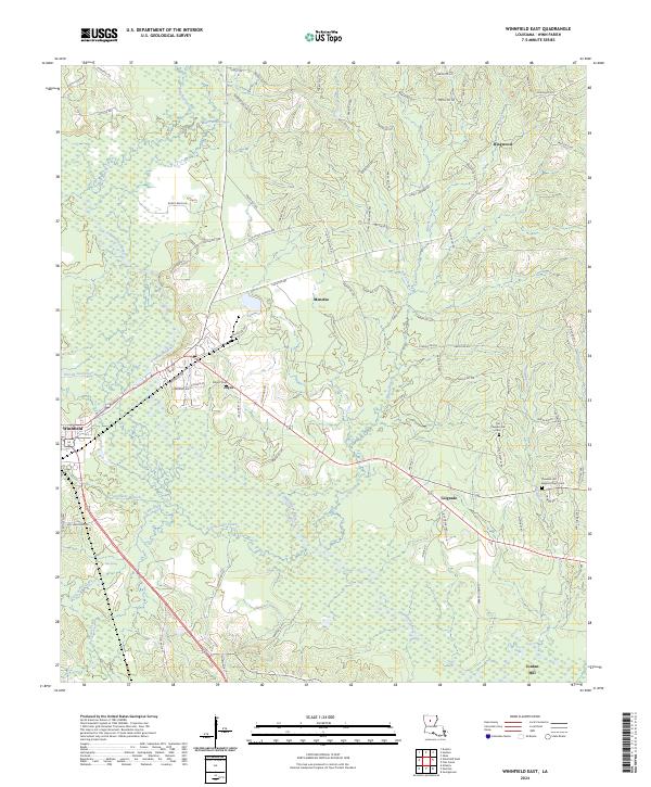 2024 Winnfield East2024 Print · USGSWinn Parish during the 2020s remains a landscape of timbered ridges and river bottoms centered on the Dugdemona River. Local historians can trace family roots through sites like Old Pleasant Hill Cem, Boyett Cem, and the rural community of Menefee.
 - 2024 Map of Winnfield West, 2024 Print
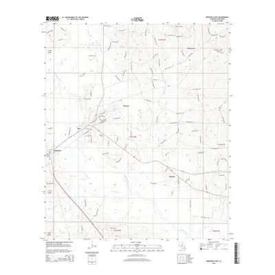
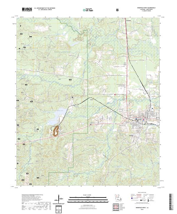 2024 Winnfield West2024 Print · USGSWinn Parish enters the mid-2020s as a hub of forest commerce and civic life centered around the Winnfield parish seat. Researchers can trace family sites from Winnfield Cem to the edges of the Kisatchie National Forest and the Dugdemona River.
End of results
Showing maps 1-17 of 17
Top cities near Winnfield
Top neighborhoods of Winnfield
Frequently asked questions
- What are the different types of historical maps available for Winnfield?
- What is the oldest map of Winnfield?
- Where can I purchase historical maps of Winnfield for my home or office?
- Where can I download high-res historical maps of Winnfield?
- Are there historical topographic maps available for Winnfield?
- Is there historical aerial imagery available for Winnfield?
- Where are historical maps of Winnfield sourced from?