2020s Maps of Androscoggin County, Maine
Explore 38 historic maps of Androscoggin County from the 2020s. These maps offer a rare glimpse into what life looked like during the 2020s — showing old roads, neighborhoods, homes, and landmarks that have changed or disappeared over time.
Whether you're researching your family's past, planning a metal detecting trip, or studying how Androscoggin County's landscape evolved across the 2020s, these high-resolution maps are a powerful tool for exploring the history of this region.
- Focus on a specific era: All maps on this page are from the 2020s, giving you a focused view of this time period.
- See what’s changed: Compare century-old streets, trails, and buildings to today's modern landscape using overlays and satellite layers.
- Research with precision: Use these maps for genealogy, historical research, land use analysis, or educational projects.
- View, download, or print: Maps are fully viewable online in high resolution, and can be downloaded or printed for your own records.
Start exploring Androscoggin County's history through authentic maps from the 2020s. This is your window into the past.
Androscoggin County, ME maps
(38)- 2021 Map of North Pownal, 2021 Print
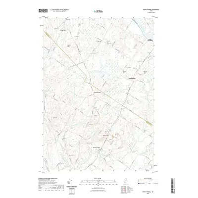 2021 North Pownal2021 Print · USGSThe rural landscapes between North Pownal and West Durham are shown in this modern era survey, where quiet cemeteries and ridges define the terrain. Genealogists can trace deep local roots at sites like Old Friends Cem and Plummer Cem while following the path of the Androscoggin River.
 - 2021 Map of Raymond, 2021 Print
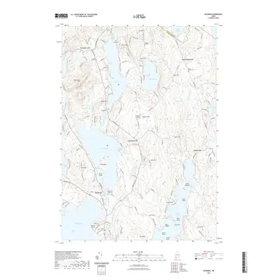 2021 Raymond2021 Print · USGSCumberland County’s lake district comes into focus in this recent survey, showcasing the shoreline communities and wooded heights of the Maine interior. Researchers can locate numerous family burial sites and historic landmarks like Webbs Mills Cem, Suckerville, and Raymond Hill Baptist Church/Cem.
 - 2021 Map of Lake Auburn West, 2021 Print
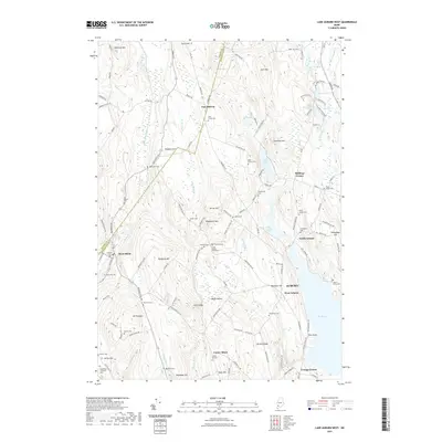 2021 Lake Auburn West2021 Print · USGSAuburn and Minot appear in this recent survey of the hills and valleys west of Lake Auburn. Genealogists and local historians can trace family roots at the Scott Family Graveyard or explore the rural surroundings of West Minot and North Auburn.
 - 2021 Map of Lisbon Falls North, 2021 Print
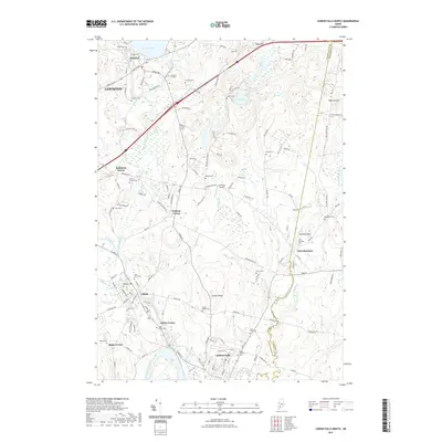 2021 Lisbon Falls North2021 Print · USGSAndroscoggin County at the start of the 2020s shows a landscape of river-side villages and deep-rooted family sites. Genealogists can trace hundreds of names through burial grounds like Lisbon Ridge Cem and landmarks such as Cliffords Airport.
 - 2021 Map of Oxford, 2021 Print
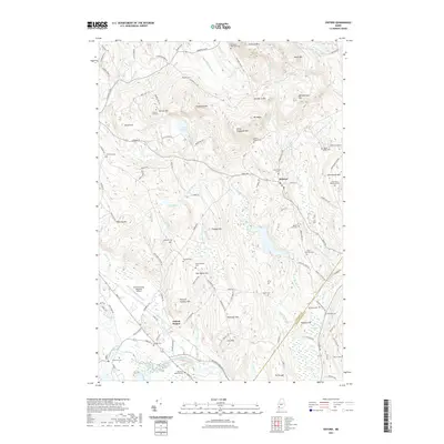 2021 Oxford2021 Print · USGSOxford County at the start of the 2020s shows a landscape where industrial rail lines and modern aviation meet traditional New England hill country. Researchers can locate numerous family burial sites like Shepardsfield Cem and Farris Whitman Cem or trace the St Lawrence & Atlantic RR through the river valley.
 - 2021 Map of Monmouth, 2021 Print
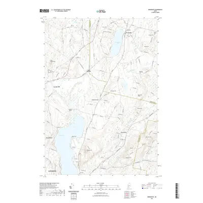 2021 Monmouth2021 Print · USGSMonmouth and the surrounding hills of Androscoggin County are documented here in the early twenty-first century. Genealogists and local historians can trace family locations at Keenes Corner Cem, Sprague Mill, and the shores of Cochnewagon Lake.
 - 2021 Map of Fayette, 2021 Print
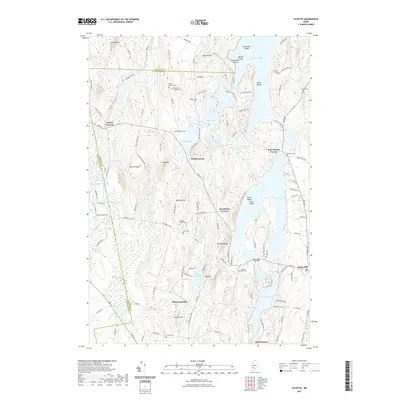 2021 Fayette2021 Print · USGSThe hill country of central Maine is captured here in the early twenty-first century, showing the enduring boundaries of Kennebec and Franklin counties. Genealogists and local historians can locate numerous burial sites like Fellows Cem and Butler Cem near the shores of David Pond and Echo Lake.
 - 2021 Map of Lisbon Falls South, 2021 Print
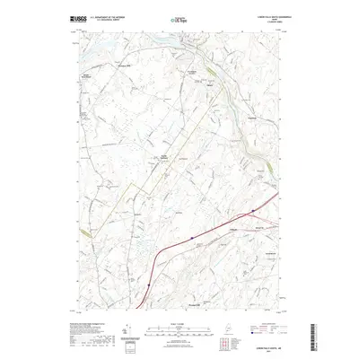 2021 Lisbon Falls South2021 Print · USGSCoastal Maine township life is preserved in detail here, where the Androscoggin River meets the rural borderlands of three counties. Researchers can trace family history at the Old North Meeting House Cem or the Lunt Memorial Cem and locate vanished mill sites like Plummer Mill.
 - 2021 Map of Buckfield, 2021 Print
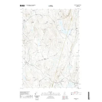 2021 Buckfield2021 Print · USGSBuckfield and the surrounding Maine hill country appear in this recent survey during a period of preserved rural heritage. Genealogists can trace family landmarks and burial sites like Meeting House Hill Cem, Chase Mills, and the Harlow Family Cem.
 - 2021 Map of Livermore Falls, 2021 Print
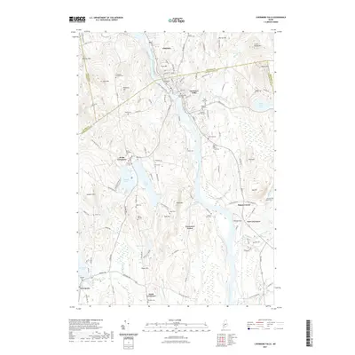 2021 Livermore Falls2021 Print · USGSThe Androscoggin River valley and its surrounding hills come into focus in this recent survey of the Livermore Falls area. Researchers can trace dozens of local burial grounds and landmarks like Treat Memorial Lib, Bowman Field, and the North Livermore Cem.
 - 2021 Map of Lake Auburn East, 2021 Print
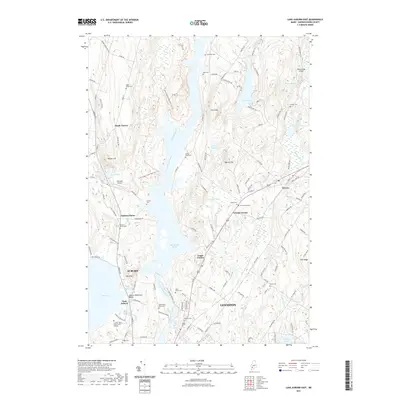 2021 Lake Auburn East2021 Print · USGSLewiston and Auburn are shown here alongside the Androscoggin River just as the modern regional landscape has matured. Researchers can trace historic family burial sites like Saint Peters Cem or explore landmarks such as Twitchell Airport and Greene Corner.
 - 2021 Map of Lewiston, 2021 Print
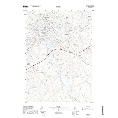 2021 Lewiston2021 Print · USGSThe twin cities of Lewiston and Auburn dominate this modern survey of south-central Maine. Genealogists and historians can trace family roots through numerous burial grounds like Oak Hill Cem and rural crossroads such as Murphy Corner and Rowe Corner.
 - 2021 Map of Canton, 2021 Print
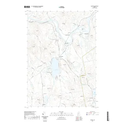 2021 Canton2021 Print · USGSOxford County in the early twenty-first century remains a landscape of river-carved valleys and glacial lakes. Genealogists and historians can trace family burial grounds like Hillside Cem and Poland Corner Cem or follow the Old Railroad Grade near Canton.
 - 2021 Map of Turner Center, 2021 Print
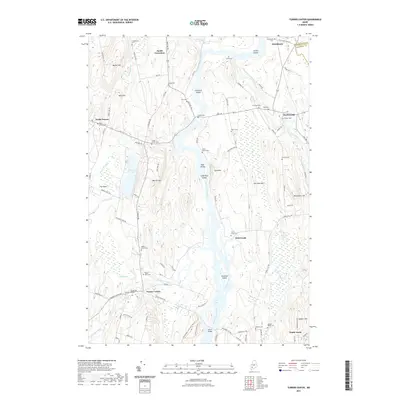 2021 Turner Center2021 Print · USGSMaine's river valleys and rural hamlets are well-documented in this recent survey of the Turner area. Genealogists can trace family roots through numerous burial sites like Quaker Ridge Cem and River Grove Cem near the Androscoggin River.
 - 2021 Map of Mechanic Falls, 2021 Print
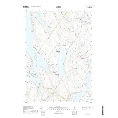 2021 Mechanic Falls2021 Print · USGSMaine's lake country near the junction of three counties was characterized by quiet rural settlements and family homesteads as recently as 2021. Genealogists can trace deep local roots through nearly twenty burial sites, including the Old Megquier Hill Cem, Henry Tenny Cem, and the Black Cat District Cem.
 - 2021 Map of Minot, 2021 Print
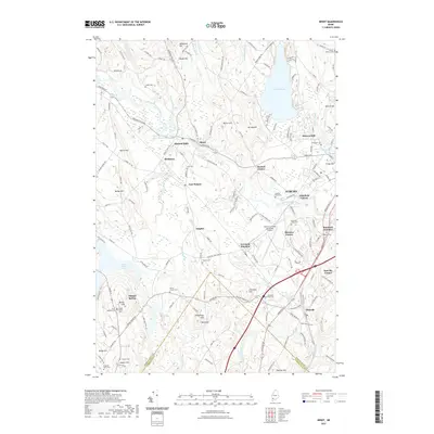 2021 Minot2021 Print · USGSAuburn and the surrounding mill towns of Androscoggin County are shown here in the early twenty-first century. Researchers can trace local lineage through numerous burial grounds like Evergreen Cem or locate industrial landmarks such as Hackett Mills and Danville Corner.
 - 2021 Map of Wayne, 2021 Print
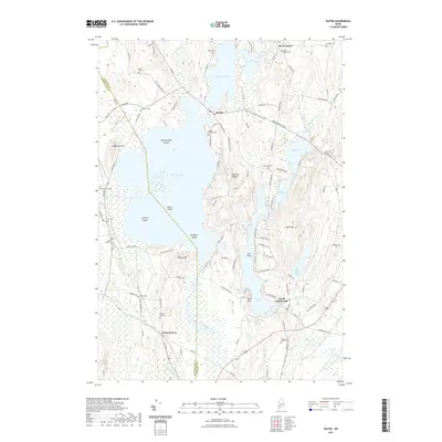 2021 Wayne2021 Print · USGSMaine's lake country near the Kennebec and Androscoggin county line is captured here in detail during the early twenty-first century. Genealogists can locate over a dozen burial grounds like Old Indian Cem and Wayne Village Cem scattered between Androscoggin Lake and Mt Pisgah.
 - 2021 Map of Gray, 2021 Print
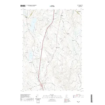 2021 Gray2021 Print · USGSThe rural landscapes of Cumberland and Androscoggin Counties are shown here in the modern era, centered on the historic village of Gray. Researchers can trace family roots at Gray Village Cem or locate the unique settlement of Shaker Village near Sabbathday Pond.
 - 2021 Map of Purgatory, 2021 Print
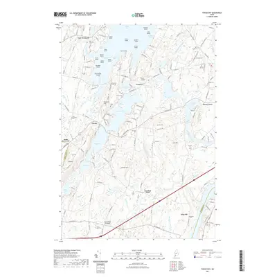 2021 Purgatory2021 Print · USGSThe rural landscapes of Kennebec County are captured here in the early twenty-first century, centered on the historic mills of Purgatory. Researchers can trace dozens of family burial sites like Town Farm Road Cem and Harriman Cem across the hills.
 - 2024 Map of Buckfield, 2024 Print
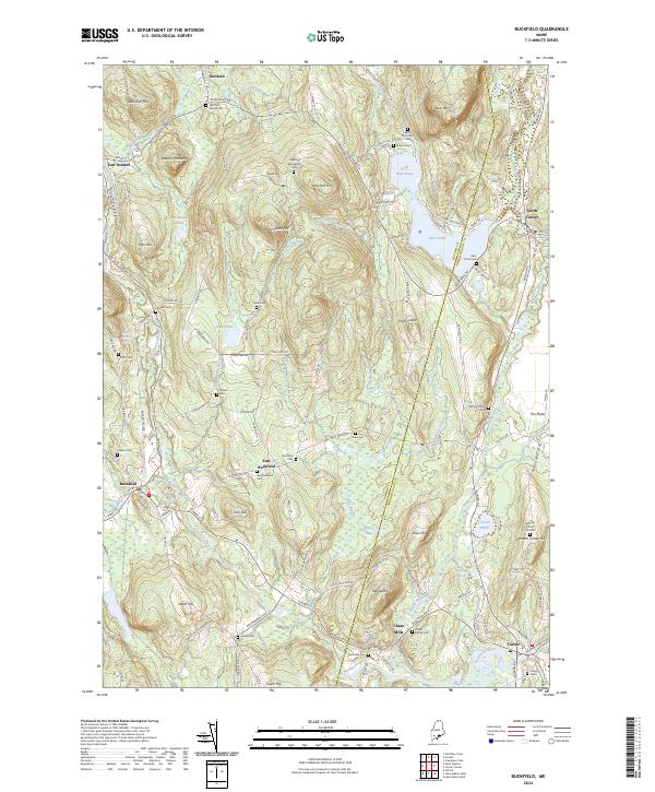 2024 Buckfield2024 Print · USGSMaine's interior hill country comes into focus in this contemporary survey of the Oxford and Androscoggin county line. Genealogists can locate family burial plots such as Harlow Family Cem and Jackson Cem near the banks of Bear Pond and the Nezinscot River.
 - 2024 Map of North Pownal, 2024 Print
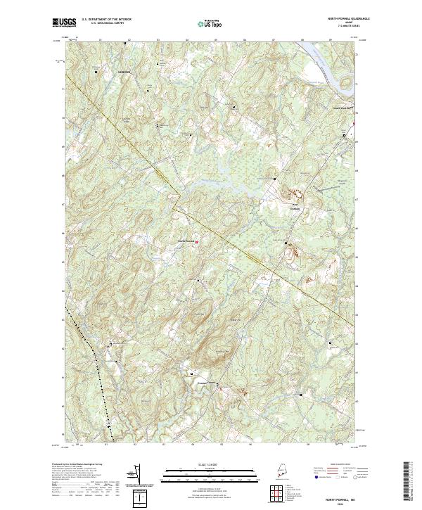 2024 North Pownal2024 Print · USGSCumberland County and Androscoggin County meet in this rural Maine landscape, where high ground and river bends define the settlement pattern. Genealogists can locate several historic burial grounds including Pownal Center Cem, Old Friends Cem, and Harmony Grove Cem.
 - 2024 Map of Oxford, 2024 Print
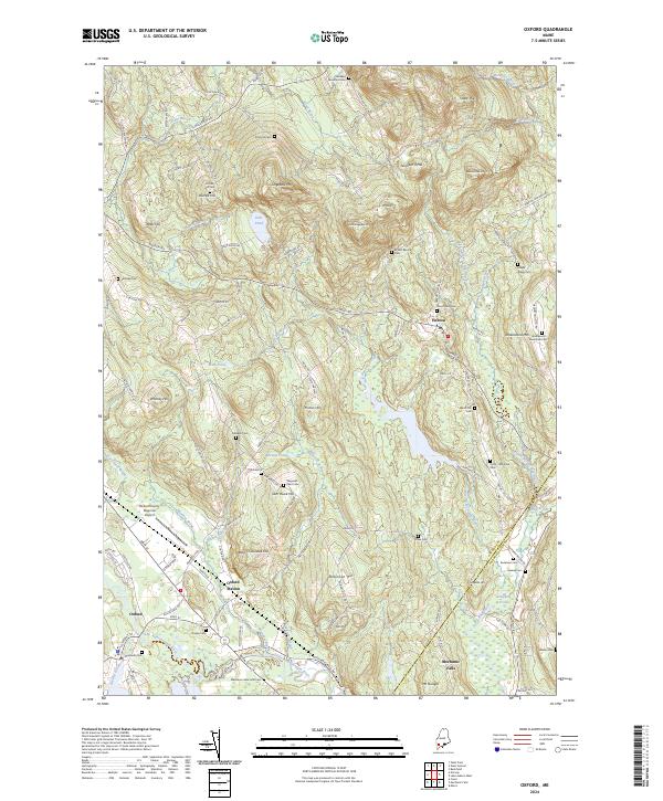 2024 Oxford2024 Print · USGSThe foothills of western Maine are captured in this recent survey, showcasing a landscape of river-valley settlements and upland farms. Historians can trace local family lineages through sites like Caldwell Cem or Shepards Field Cem and locate historic hubs at Oxford Station and Hebron.
 - 2024 Map of Lisbon Falls South, 2024 Print
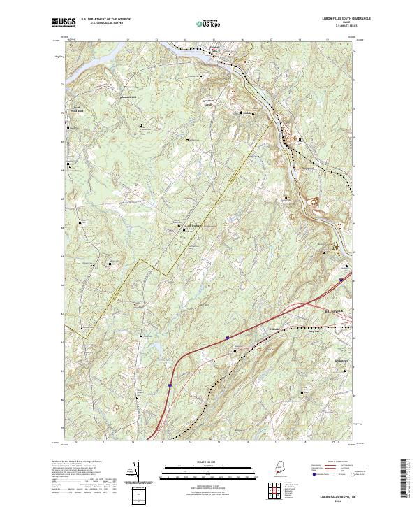 2024 Lisbon Falls South2024 Print · USGSThe rural borders of Cumberland and Androscoggin Counties are mapped here in the modern era, showing a landscape defined by the Androscoggin River. Genealogists can trace family names through dozens of sites like Plummer Mill, the Noah Elliot Grave, and Old North Meeting House Cem.
 - 2024 Map of Raymond, 2024 Print
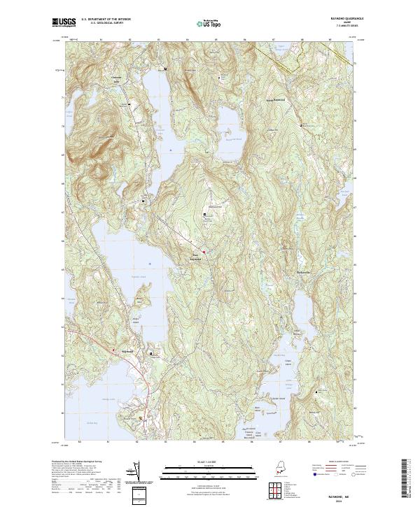 2024 Raymond2024 Print · USGSCumberland County’s lake country is detailed here during its modern era, showcasing the complex shorelines of Sebago Lake and Panther Pond. Researchers can trace local lineage through several burial sites like Raymond Village Cem and the Elder Family Cem.
 - 2024 Map of Gray, 2024 Print
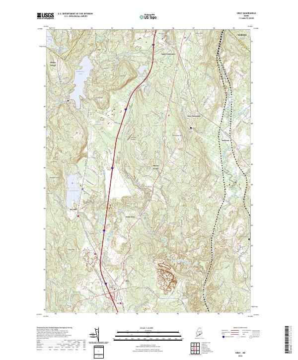 2024 Gray2024 Print · USGSThe rural stretches of Cumberland County are shown here in the 2020s, centered on the crossroads of Gray Village and the historic Shaker Village. Genealogists and local historians can trace family plots at Lower Corner Cem and explore the surroundings of Sabbathday Pond and Crystal Lake.
Showing maps 1-25 of 38
Top cities of Androscoggin County
- Lewiston historical maps
- Auburn historical maps
- Lisbon historical maps
- Turner historical maps
- Poland historical maps
- Sabattus historical maps
See more
Frequently asked questions
- What are the different types of historical maps available for Androscoggin County?
- What is the oldest map of Androscoggin County?
- Where can I purchase historical maps of Androscoggin County for my home or office?
- Where can I download high-res historical maps of Androscoggin County?
- Are there historical topographic maps available for Androscoggin County?
- Is there historical aerial imagery available for Androscoggin County?
- Where are historical maps of Androscoggin County sourced from?