Old Maps of Blaine, Maine for Hiking & Exploration
Hike through history with 40 historic maps of Blaine. Explore old trails, ghost towns, and forgotten backroads — perfect for outdoor adventurers and local explorers.
- Rediscover forgotten places: Map out old mining camps, roads, and footpaths that no longer exist on modern maps.
- Layer with modern tools: Combine with LiDAR or satellite views to plan hikes through historical terrain.
- Made for exploration: Popular among hikers, overlanders, and local history lovers.
Use these maps to find adventure and explore the hidden past of Blaine.
Blaine, ME maps
(40)- 1934 Map of Bridgewater
 1934 Bridgewater1934 Print · USGSAroostook County's border with New Brunswick is detailed here during the mid-1930s, highlighting the Bangor and Aroostook rail network. Genealogists can locate family landmarks like Jewells Corner, Snow Settlement, and Robinson Sta.
 - 1936 Map of Mars Hill
 1936 Mars Hill1936 Print · USGSIn the mid-1930s, the rural landscapes of Easton and Blaine were defined by the Bangor and Aroostook RR and a dense network of country schools. Genealogists can trace family landmarks like Pine Tree Cem, Ross Sch, and Morison Mill along the international border.
 - 1938 Map of Bridgewater
 1938 Bridgewater1938 Print · USGSEastern Aroostook County is shown here during the mid-1930s, documenting the vital rail and border connections of the era. Researchers can trace the old paths of the Bangor and Ar00stook railroad and locate community landmarks like Snow Settlement and Flagstaff Sch.3 unique versions available
 - 1940 Map of Mars Hill
 1940 Mars Hill1940 Print · USGSAroostook County was a hub of rail and river commerce in the late 1930s, defined by its connection to the Canadian border. You can trace early schoolhouse locations like Maple Grove Sch and the industrial roots of Monson Mill and Easton Station.3 unique versions available
 - 1951 Map of Mars Hill
 1951 Mars Hill1951 Print · USGSAroostook County's borderlands and rail corridors are preserved here in the mid-century, before modernization reshaped the potato-growing heartland. Genealogists and historians can trace family roots through sites like Kings Grove Cem, East Ridge Ch, and the many stops along the BANGOR AND AROOSTOOK railroad.3 unique versions available
 - 1951 Map of Bridgewater, 1952 Print
 1951 Bridgewater1952 Print · USGSAroostook County's borderlands are captured here at mid-century, showing the vital rail and road networks connecting Maine to New Brunswick. Genealogists can locate old rural landmarks like Flagstaff Sch, Snow Settlement, and the Monticello Sta.3 unique versions available
 - 1953 Map of Bridgewater
 1953 Bridgewater1953 Print · USGSThe Maine-New Brunswick borderlands are captured here in the early 1950s, showing a landscape shaped by the Bangor and Aroostook rail line. Researchers can trace historic school sites like Bratton Sch and family-named corners such as Jewells Corner or Snow Settlement.
 - 1959 Map of Woodstock, 1975 Print
 1959 Woodstock1975 Print · USGSNorthern Maine and New Brunswick meet along the river valleys in the late fifties, showcasing an era of international rail and river commerce. Genealogists can trace family roots through border towns like Woodstock and Houlton, or along the lines of the Bangor & Aroostook railroad.
 - 1963 Map of Woodstock
 1963 Woodstock1963 Print · USGSThe Maine-New Brunswick borderlands come alive in the early sixties, showing the vital river-and-rail connection between Houlton and Woodstock. Genealogists and historians can trace the paths of the Canadian Pacific RR and locate rural communities like Stickney and Upper Kent.
 - 1975 Map of Mars Hill SE, 1981 Print
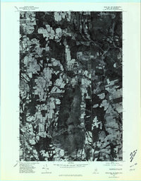 1975 Mars Hill SE1981 Print · USGSThe Maine and New Brunswick borderlands come into sharp focus in this mid-seventies aerial study of the potato-growing country. Researchers can trace the development of Mars Hill and Blaine or locate crossroads like Listerville and Upper Knoxford.
 - 1975 Map of Bridgewater NE, 1981 Print
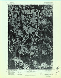 1975 Bridgewater NE1981 Print · USGSAroostook County farmland and forest meet the international border during the mid-seventies in this detailed orthophoto. Researchers can trace rural property layouts and settlements like Bridgewater, Robinsons, and the quiet waters of Portland Lake.
 - 1975 Map of Bridgewater NW, 1981 Print
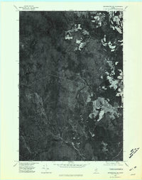 1975 Bridgewater NW1981 Print · USGSNorthern Maine's timberlands and early agricultural clearings are captured in this mid-seventies aerial survey of the Aroostook County woods. Researchers can trace the rugged topography of Nineteen Mountain and the remote shores of Ketchum Lake.
 - 1975 Map of Mars Hill SW, 1981 Print
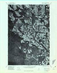 1975 Mars Hill SW1981 Print · USGSThe Aroostook County countryside near Westfield is shown here in the mid-seventies through detailed aerial photography. Researchers can trace land boundaries, forest edges, and water bodies like Prestile Stream and Bennett Lake.
 - 1981 Map of Brooklin
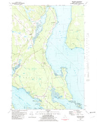 1981 Brooklin1981 Print · USGSCoastal Hancock County is captured here in the early 1980s, showcasing the traditional maritime settlements between Blue Hill Bay and Eggemoggin Reach. Genealogists can trace family names at Pine Grove Cemetery and Freethy Cemetery or explore the docks at Center Harbor.
 - 1984 Map of Packard Lake
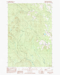 1984 Packard Lake1984 Print · USGSAroostook County's timberlands and river forks are captured here in the mid-1980s. Local researchers can trace old parcel lines like the Cox Patent and explore the surroundings of Packard Lake, Nineteen Mtn, and the Advent Swamp.
 - 1984 Map of Westfield
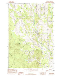 1984 Westfield1984 Print · USGSAroostook County in the early eighties was a landscape of rail-connected settlements and timberland. Genealogists and historians can trace the Bangor and Aroostook rail line, Marshall Cem, and many remote water bodies like Winslow Lake.
 - 1984 Map of Bridgewater, 1985 Print
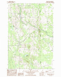 1984 Bridgewater1985 Print · USGSThe Maine-New Brunswick border comes to life in the early 1980s, documenting the international boundary between Aroostook County and Carleton County. Researchers can trace the Bangor and Aroostook rail line through Bridgewater or locate rural landmarks like Smith Cem and the Fish Hatchery.
 - 1984 Map of Mars Hill, 1985 Print
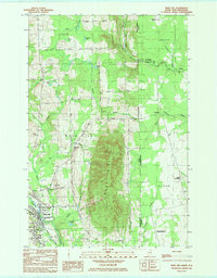 1984 Mars Hill1985 Print · USGSThe Maine-New Brunswick borderlands are captured here in the early 1980s, centered on the towering ridge of MARS HILL. Researchers can trace local history through the BANGOR AND AROOSTOOK rail line and sites like Kings Grove Cem, Listerville, and the Mackay Wing Sch.
 - 1993 Map of Houlton
 1993 Houlton1993 Print · USGSThe Maine-New Brunswick borderlands are captured here in the early 1990s, centered on the transit and trade hub of Houlton. Genealogists and historians can trace family-named locales and crossroads like Porter Settlement, Jackson Settlement, and Bridgewater Corner.
 - 1993 Map of Fort Fairfield
 1993 Fort Fairfield1993 Print · USGSThe Aroostook River valley is shown at a pivotal moment in the 1990s as it spans the international border between Maine and New Brunswick. Genealogists and local historians can trace the extent of Loring Air Force Base or locate rural crossroads like Grimes Mill and Sawyer Corner.
 - 2011 Map of Mars Hill, 2011 Print
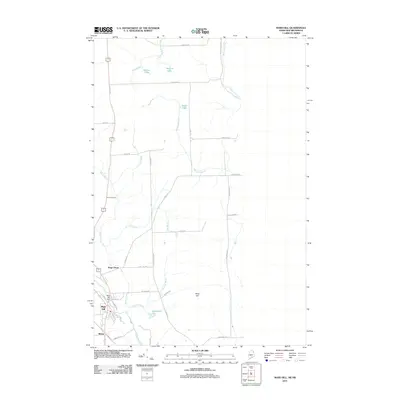 2011 Mars Hill2011 Print · USGSThe Maine-New Brunswick border comes into focus at the start of the twenty-first century, centered on the prominent rise of Mars Hill. Researchers can trace the local streetscapes of Blaine and Mars Hill, find the Pierce Cemetery, and follow the winding River De Chute.
 - 2011 Map of Bridgewater, 2011 Print
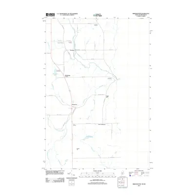 2011 Bridgewater2011 Print · USGSAroostook County's borderlands are mapped here in the early twenty-first century, showing the rural character of Bridgewater and Robinson. Family researchers can locate several historical burial sites, including Sanborn Cemetery and the Boundary Line Cemetery near Sugar Hill.
 - 2011 Map of Packard Lake, 2011 Print
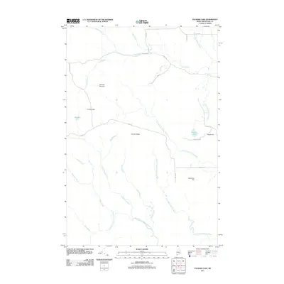 2011 Packard Lake2011 Print · USGSAroostook County's interior wilderness is documented here in the early twenty-first century, showing a landscape defined by ridges and waterways. Researchers can locate remote landmarks like Nineteen Mountain and family-named features including Estabrook Hill and Packard Lake.
 - 2011 Map of Westfield, 2011 Print
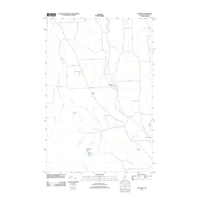 2011 Westfield2011 Print · USGSAroostook County's agricultural heartland is documented here in the early 21st century, centered on the settlement of Westfield. Genealogists and researchers can trace local landmarks like Marshall Cemetery, the Mars Hill Airport, and the Water District Reservoir Dam.
 - 2014 Map of Westfield, 2014 Print
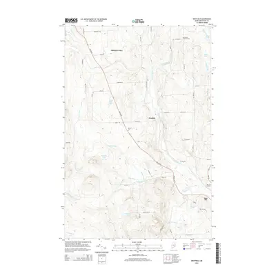 2014 Westfield2014 Print · USGSAroostook County's agricultural heartland is documented in the 2010s, showcasing the rural layout of the Westfield and Mars Hill area. Genealogists and local historians can locate family burial sites like Getchell Farnham Cem and Snow Cem or trace the winding course of Prestile Stream.
Showing maps 1-25 of 40
Top cities near Blaine
- Presque Isle historical maps
- Fort Fairfield historical maps
- Mapleton historical maps
- Mars Hill historical maps
- Easton historical maps
- Littleton historical maps
See more
Top neighborhoods of Blaine
Frequently asked questions
- What are the different types of historical maps available for Blaine?
- What is the oldest map of Blaine?
- Where can I purchase historical maps of Blaine for my home or office?
- Where can I download high-res historical maps of Blaine?
- Are there historical topographic maps available for Blaine?
- Is there historical aerial imagery available for Blaine?
- Where are historical maps of Blaine sourced from?