2000s (21st Century) Maps of Dudley Township, Maine
Explore 20 historic maps of Dudley Township from the 2000s (21st Century). These maps offer a rare glimpse into what life looked like during the 2000s — showing old roads, neighborhoods, homes, and landmarks that have changed or disappeared over time.
Whether you're researching your family's past, planning a metal detecting trip, or studying how Dudley Township's landscape evolved across the 2000s, these high-resolution maps are a powerful tool for exploring the history of this region.
- Focus on a specific era: All maps on this page are from the 2000s, giving you a focused view of this time period.
- See what’s changed: Compare century-old streets, trails, and buildings to today's modern landscape using overlays and satellite layers.
- Research with precision: Use these maps for genealogy, historical research, land use analysis, or educational projects.
- View, download, or print: Maps are fully viewable online in high resolution, and can be downloaded or printed for your own records.
Start exploring Dudley Township's history through authentic maps from the 2000s. This is your window into the past.
Dudley Township, ME maps
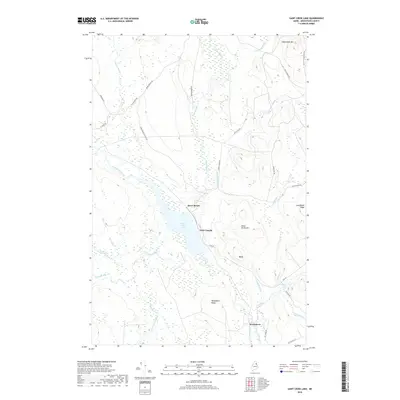
(20)- 2011 Map of Saint Croix Lake, 2011 Print
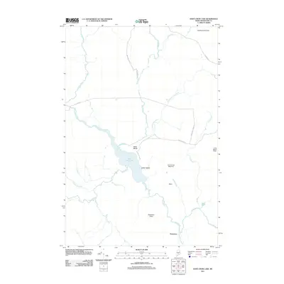 2011 Saint Croix Lake2011 Print · USGSCovers Dudley Township, including Howe Brook, Weeksboro, and other nearby areas
 - 2011 Map of Smyrna Mills, 2011 Print
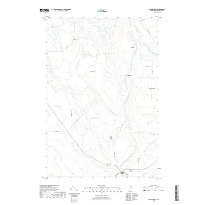
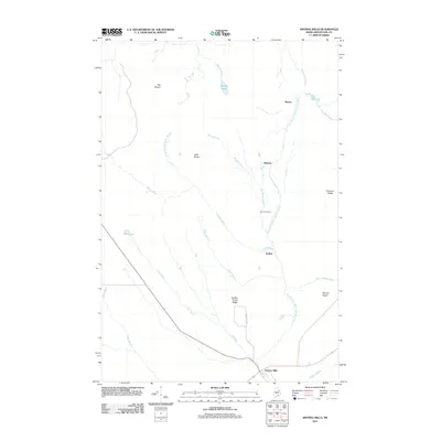 2011 Smyrna Mills2011 Print · USGSCovers Dudley Township, including Smyrna, Merrill, and other nearby areas
 - 2011 Map of North Brook Ridge, 2011 Print
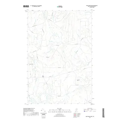
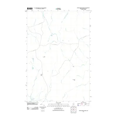 2011 North Brook Ridge2011 Print · USGSCovers Dudley Township, including Hammond, TD R2 WELS, and other nearby areas
 - 2011 Map of Ludlow, 2011 Print
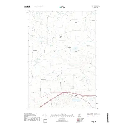
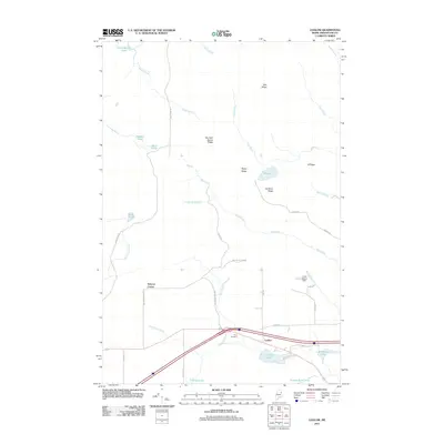 2011 Ludlow2011 Print · USGSCovers Dudley Township, including New Limerick, Smyrna, and other nearby areas
 - 2014 Map of Smyrna Mills, 2014 Print
 2014 Smyrna Mills2014 Print · USGSCovers Dudley Township, including Smyrna, Merrill, and other nearby areas
 - 2014 Map of Saint Croix Lake, 2014 Print
 2014 Saint Croix Lake2014 Print · USGSCovers Dudley Township, including Howe Brook, Weeksboro, and other nearby areas
 - 2014 Map of Ludlow, 2014 Print
 2014 Ludlow2014 Print · USGSCovers Dudley Township, including New Limerick, Smyrna, and other nearby areas
 - 2014 Map of North Brook Ridge, 2014 Print
 2014 North Brook Ridge2014 Print · USGSCovers Dudley Township, including Hammond, TD R2 WELS, and other nearby areas
 - 2018 Map of Smyrna Mills, 2018 Print
 2018 Smyrna Mills2018 Print · USGSCovers Dudley Township, including Smyrna, Merrill, and other nearby areas
 - 2018 Map of North Brook Ridge, 2018 Print
 2018 North Brook Ridge2018 Print · USGSCovers Dudley Township, including Hammond, TD R2 WELS, and other nearby areas
 - 2018 Map of Ludlow, 2018 Print
 2018 Ludlow2018 Print · USGSCovers Dudley Township, including New Limerick, Smyrna, and other nearby areas
 - 2018 Map of Saint Croix Lake, 2018 Print
 2018 Saint Croix Lake2018 Print · USGSCovers Dudley Township, including Howe Brook, Weeksboro, and other nearby areas
 - 2021 Map of Ludlow, 2021 Print
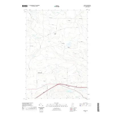 2021 Ludlow2021 Print · USGSCovers Dudley Township, including New Limerick, Smyrna, and other nearby areas
 - 2021 Map of North Brook Ridge, 2021 Print
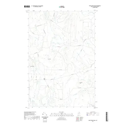 2021 North Brook Ridge2021 Print · USGSCovers Dudley Township, including Hammond, TD R2 WELS, and other nearby areas
 - 2021 Map of Saint Croix Lake, 2021 Print
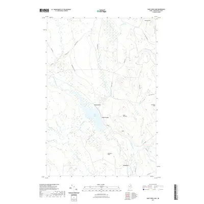 2021 Saint Croix Lake2021 Print · USGSCovers Dudley Township, including Howe Brook, Weeksboro, and other nearby areas
 - 2021 Map of Smyrna Mills, 2021 Print
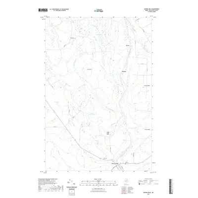 2021 Smyrna Mills2021 Print · USGSCovers Dudley Township, including Smyrna, Merrill, and other nearby areas
 - 2024 Map of Smyrna Mills, 2024 Print
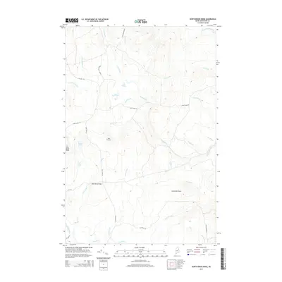
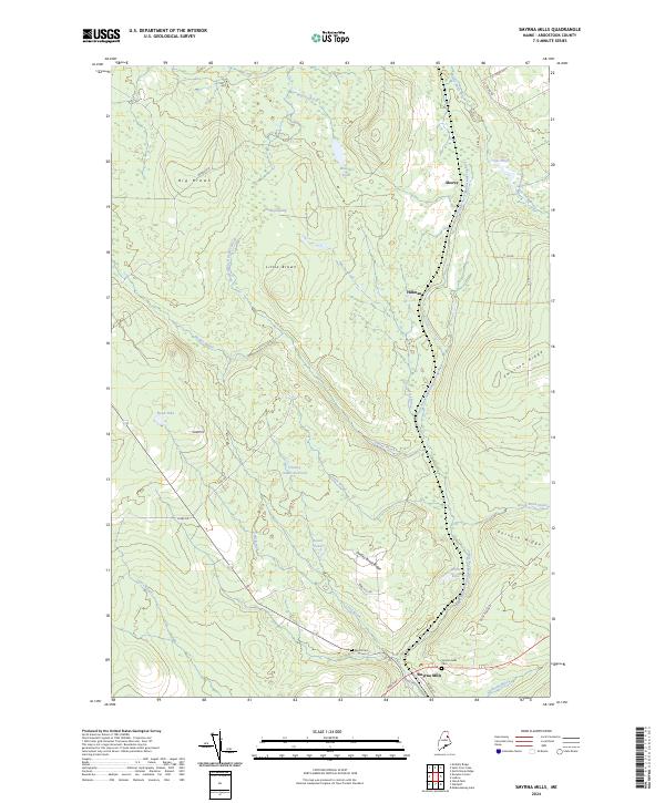 2024 Smyrna Mills2024 Print · USGSThe area surrounding Smyrna Mills in the 2020s remains a landscape of river valleys and timber ridges. Researchers can locate family sites at the Smyrna Mills Cem or trace the drainage of the East Branch Mattawamkeag River near Hillman and White Lake.
 - 2024 Map of Ludlow, 2024 Print
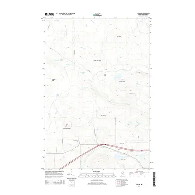
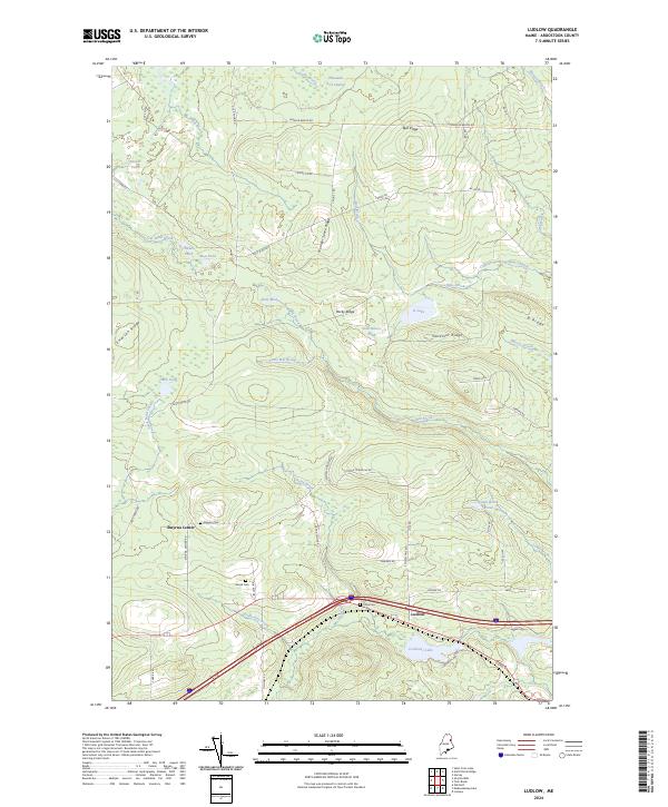 2024 Ludlow2024 Print · USGSAroostook County's agricultural and forest lands are documented here in the modern era, showing the enduring rural character of these Maine townships. Researchers can locate family landmarks like the Amish Cem and Stewart Cem or trace the drainage of Captain Ambrose Bear Stream.
 - 2024 Map of North Brook Ridge, 2024 Print
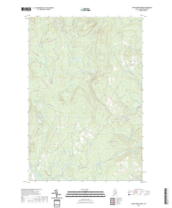 2024 North Brook Ridge2024 Print · USGSAroostook County's working timberlands are documented in this recent survey, showing the complex road systems and ridges of the North Maine Woods. Researchers can trace the drainages of North Brook and find named landmarks like The Pinnacle and Carmichael Ridge.
 - 2024 Map of Saint Croix Lake, 2024 Print
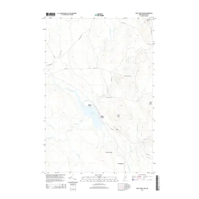
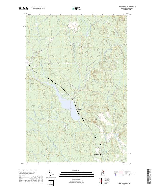 2024 Saint Croix Lake2024 Print · USGSNorthern Maine's timberlands and remote settlements are captured here in the 2020s. Researchers can trace forest communities like Howe Brook and Weeksboro or locate landmarks like Saint Croix Lake and Weeksboro Ridge.
End of results
Showing maps 1-20 of 20
Top cities near Dudley Township
- Houlton historical maps
- Hodgdon historical maps
- Littleton historical maps
- Linneus historical maps
- Island Falls historical maps
- Monticello historical maps
See more
Top neighborhoods of Dudley Township
Frequently asked questions
- What are the different types of historical maps available for Dudley Township?
- What is the oldest map of Dudley Township?
- Where can I purchase historical maps of Dudley Township for my home or office?
- Where can I download high-res historical maps of Dudley Township?
- Are there historical topographic maps available for Dudley Township?
- Is there historical aerial imagery available for Dudley Township?
- Where are historical maps of Dudley Township sourced from?