2010s Maps of Fort Kent, Maine
Explore 15 historic maps of Fort Kent from the 2010s. These maps offer a rare glimpse into what life looked like during the 2010s — showing old roads, neighborhoods, homes, and landmarks that have changed or disappeared over time.
Whether you're researching your family's past, planning a metal detecting trip, or studying how Fort Kent's landscape evolved across the 2010s, these high-resolution maps are a powerful tool for exploring the history of this region.
- Focus on a specific era: All maps on this page are from the 2010s, giving you a focused view of this time period.
- See what’s changed: Compare century-old streets, trails, and buildings to today's modern landscape using overlays and satellite layers.
- Research with precision: Use these maps for genealogy, historical research, land use analysis, or educational projects.
- View, download, or print: Maps are fully viewable online in high resolution, and can be downloaded or printed for your own records.
Start exploring Fort Kent's history through authentic maps from the 2010s. This is your window into the past.
Fort Kent, ME maps
(15)- 2011 Map of Daigle, 2011 Print
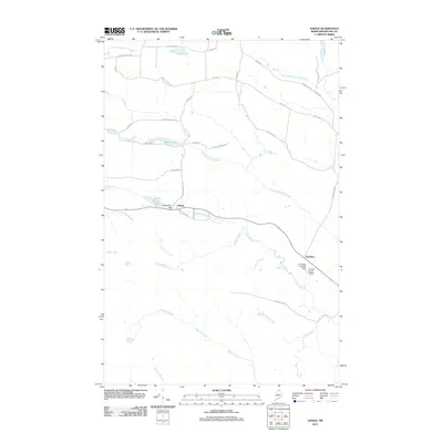 2011 Daigle2011 Print · USGSAroostook County's timberlands and French-Acadian settlements are shown here at the start of the 2010s. Researchers can trace family-named roads like Pelletier Rd and locate aviation history at Sunrise Farms Airport or the La Change Landing Field.
 - 2011 Map of Wheelock, 2011 Print
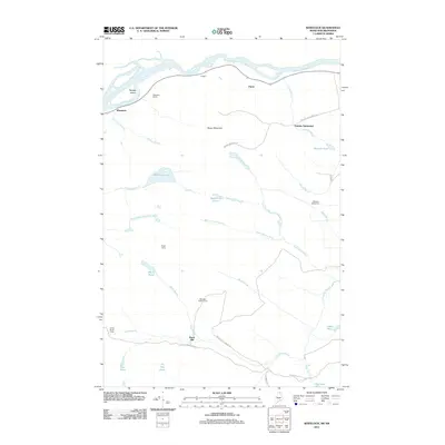 2011 Wheelock2011 Print · USGSThe northern Maine borderlands come into focus in this early 21st-century survey of the riverfront and deep timberlands. Genealogists and historians can trace family-named outposts like Violette Settlement, Belanger Settlement, and the logging history at Burnt Mill.
 - 2011 Map of Frenchville, 2011 Print
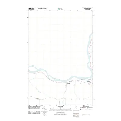 2011 Frenchville2011 Print · USGSIn the St. John Valley during the early twenty-first century, this area shows the riverside settlements and international border terrain of northern Maine. Genealogists and local historians can trace family land via Charette Hill Rd and Gagnon Rd or locate Gilman Siding near the Saint John River.
 - 2011 Map of Fort Kent North, 2011 Print
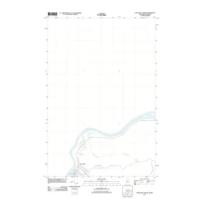 2011 Fort Kent North2011 Print · USGSFort Kent sits at the confluence of northern waters in this early 21st-century survey of the Maine border. Genealogists and local historians can trace the town's expansion toward Fish River Island and along Charette Hill Rd.
 - 2011 Map of Fort Kent South, 2011 Print
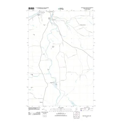 2011 Fort Kent South2011 Print · USGSNorthern Maine's river-driven economy is on display in this early 21st-century record of Aroostook County. Genealogists and historians can trace the development of timber and transit hubs like Soldier Pond, Fort Kent Mills, and the Soldier Pond Post Office along the Fish River.
 - 2014 Map of Daigle, 2014 Print
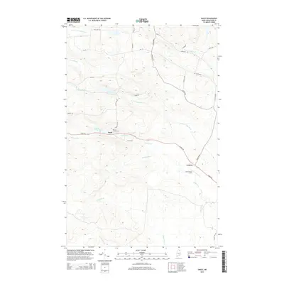 2014 Daigle2014 Print · USGSNorthern Maine's rural landscape comes into focus in the early twenty-first century, centered on the small settlements of the St. John Valley region. Genealogists and local historians can trace family locations along Caribou Rd, from the Holy Family Cem in Daigle to the small airfield at Sunrise Farms Airport.
 - 2014 Map of Fort Kent North, 2014 Print
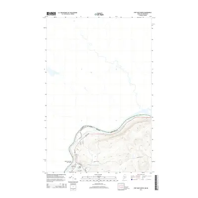 2014 Fort Kent North2014 Print · USGSThe northernmost border of Maine meets New Brunswick at the turn of the twenty-first century, centered on the river-front town of Fort Kent. Researchers can trace local genealogy and institutional history at Old Saint Louis Cem and the Univ of Maine at Ft Kent.
 - 2014 Map of Frenchville, 2014 Print
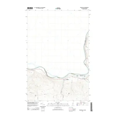 2014 Frenchville2014 Print · USGSThe northern border of Maine meets Canada along the winding Saint John River in this recent study of the valley's geography. Researchers can trace local lineage through Upper Frenchville and find the historic Saint Luce Cem near the riverbanks.
 - 2014 Map of Fort Kent South, 2014 Print
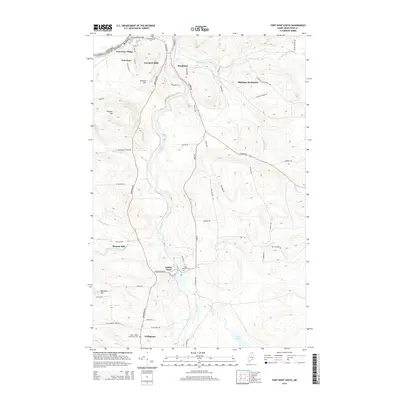 2014 Fort Kent South2014 Print · USGSThe Fish River valley in northern Maine is captured here during the mid-2010s, showing the border landscape south of the St. John River. Family historians can locate specific sites like Plourde Mill, Saint Josephs Cem, and the historic enclave of Michigan Settlement.
 - 2014 Map of Wheelock, 2014 Print
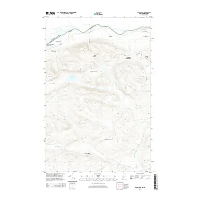 2014 Wheelock2014 Print · USGSAroostook County's river-border landscape is captured here in the early twenty-first century, showing the transition from the fertile Saint John valley to the deep northern timberlands. Genealogists can locate family lands near Violette Settlement or trace old rural school routes like Franklin School Rd and Aroostook School Rd.
 - 2018 Map of Frenchville, 2018 Print
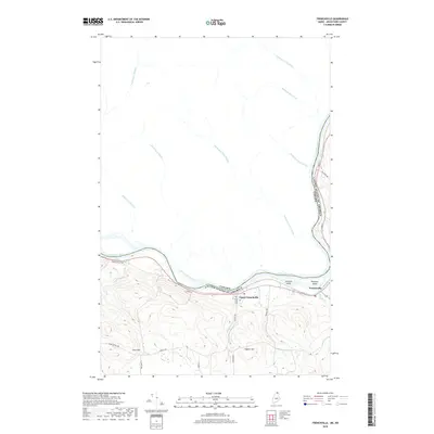 2018 Frenchville2018 Print · USGSThe Saint John Valley along the international border is captured here in its modern agricultural and residential state. Genealogists can locate family landmarks such as the Saint Luce church, the local Cem, and settlements like Frenchville.
 - 2018 Map of Fort Kent North, 2018 Print
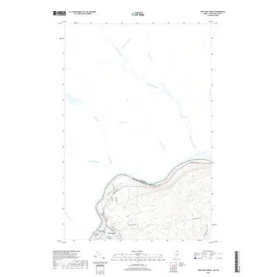 2018 Fort Kent North2018 Print · USGSThe international border along the Saint John River defines this northern Maine community during the late 2010s. Researchers can locate the Old Saint Louis Catholic Cem, the Univ of Maine at Ft Kent, and various family-named landmarks like Regiest Daigle Brook.
 - 2018 Map of Daigle, 2018 Print
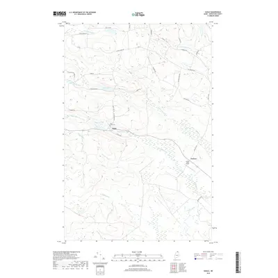 2018 Daigle2018 Print · USGSNorthern Maine's forest and farm country around Fort Kent is captured here in the late 2010s. Researchers can locate family landmarks like the Holy Family Cem or trace rural roots along Michigan Settlement Rd and Ouellette.
 - 2018 Map of Wheelock, 2018 Print
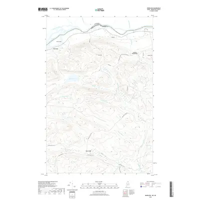 2018 Wheelock2018 Print · USGSUpper Aroostook County’s riverfront and deep timberlands are documented here at the turn of the century along the Canadian border. Researchers can trace the layout of Violette Settlement, locate remote water bodies like Wheelock Lake, and follow old transit routes such as the Carter Brook Tote Rd.
 - 2018 Map of Fort Kent South, 2018 Print
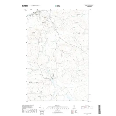 2018 Fort Kent South2018 Print · USGSNorthern Maine's borderlands and river-based industries are preserved here in the late twenty-first century. Genealogists can trace family roots through Michigan Settlement, Plourde Mill, and old burial grounds like Saint Josephs Cem.
End of results
Showing maps 1-15 of 15
Top cities near Fort Kent
- Madawaska historical maps
- Frenchville historical maps
- Eagle Lake historical maps
- Saint Agatha historical maps
- Square Lake historical maps
- Wallagrass historical maps
See more
Top neighborhoods of Fort Kent
- Fort Kent Mills historical maps
- Monument Square historical maps
- Pierre historical maps
- Violette Settlement historical maps
- Fort Kent Village historical maps
- Kent Junction historical maps
See more
Frequently asked questions
- What are the different types of historical maps available for Fort Kent?
- What is the oldest map of Fort Kent?
- Where can I purchase historical maps of Fort Kent for my home or office?
- Where can I download high-res historical maps of Fort Kent?
- Are there historical topographic maps available for Fort Kent?
- Is there historical aerial imagery available for Fort Kent?
- Where are historical maps of Fort Kent sourced from?