2000s (21st Century) Maps of Frenchville, Maine
Explore 15 historic maps of Frenchville from the 2000s (21st Century). These maps offer a rare glimpse into what life looked like during the 2000s — showing old roads, neighborhoods, homes, and landmarks that have changed or disappeared over time.
Whether you're researching your family's past, planning a metal detecting trip, or studying how Frenchville's landscape evolved across the 2000s, these high-resolution maps are a powerful tool for exploring the history of this region.
- Focus on a specific era: All maps on this page are from the 2000s, giving you a focused view of this time period.
- See what’s changed: Compare century-old streets, trails, and buildings to today's modern landscape using overlays and satellite layers.
- Research with precision: Use these maps for genealogy, historical research, land use analysis, or educational projects.
- View, download, or print: Maps are fully viewable online in high resolution, and can be downloaded or printed for your own records.
Start exploring Frenchville's history through authentic maps from the 2000s. This is your window into the past.
Frenchville, ME maps
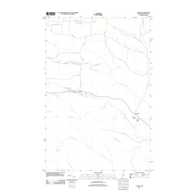
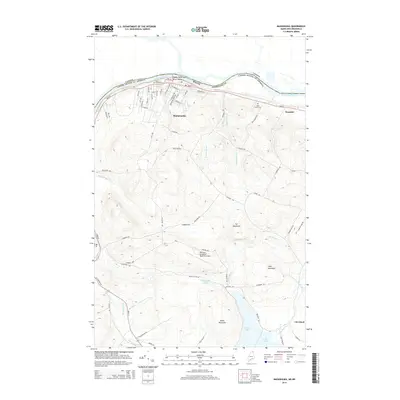
(15)- 2011 Map of Madawaska, 2011 Print
 2011 Madawaska2011 Print · USGSCovers Frenchville, including Edmundston, Madawaska, and other nearby areas
 - 2011 Map of Daigle, 2011 Print
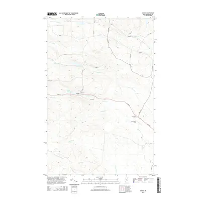
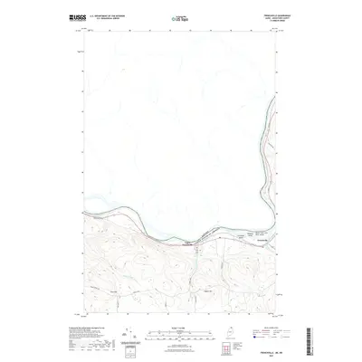
 2011 Daigle2011 Print · USGSCovers Frenchville, including Fort Kent, Saint Agatha, and other nearby areas
 - 2011 Map of Frenchville, 2011 Print
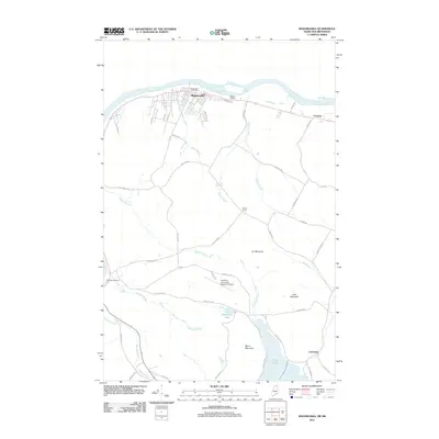
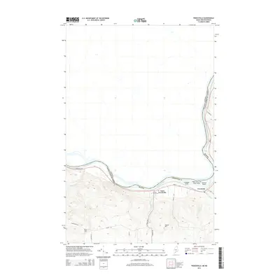
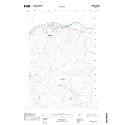
 2011 Frenchville2011 Print · USGSCovers Frenchville, including Fort Kent, Saint Agatha, and other nearby areas
 - 2014 Map of Daigle, 2014 Print
 2014 Daigle2014 Print · USGSCovers Frenchville, including Fort Kent, Saint Agatha, and other nearby areas
 - 2014 Map of Frenchville, 2014 Print
 2014 Frenchville2014 Print · USGSCovers Frenchville, including Fort Kent, Saint Agatha, and other nearby areas
 - 2014 Map of Madawaska, 2014 Print
 2014 Madawaska2014 Print · USGSCovers Frenchville, including Edmundston, Madawaska, and other nearby areas
 - 2018 Map of Frenchville, 2018 Print
 2018 Frenchville2018 Print · USGSCovers Frenchville, including Fort Kent, Saint Agatha, and other nearby areas
 - 2018 Map of Daigle, 2018 Print
 2018 Daigle2018 Print · USGSCovers Frenchville, including Fort Kent, Saint Agatha, and other nearby areas
 - 2018 Map of Madawaska, 2018 Print
 2018 Madawaska2018 Print · USGSCovers Frenchville, including Edmundston, Madawaska, and other nearby areas
 - 2021 Map of Daigle, 2021 Print
 2021 Daigle2021 Print · USGSCovers Frenchville, including Fort Kent, Saint Agatha, and other nearby areas
 - 2021 Map of Madawaska, 2021 Print
 2021 Madawaska2021 Print · USGSCovers Frenchville, including Edmundston, Madawaska, and other nearby areas
 - 2021 Map of Frenchville, 2021 Print
 2021 Frenchville2021 Print · USGSCovers Frenchville, including Fort Kent, Saint Agatha, and other nearby areas
 - 2024 Map of Daigle, 2024 Print
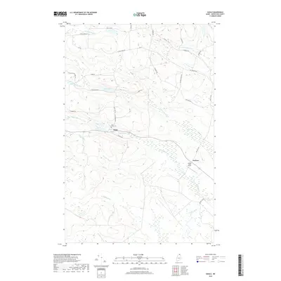
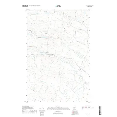
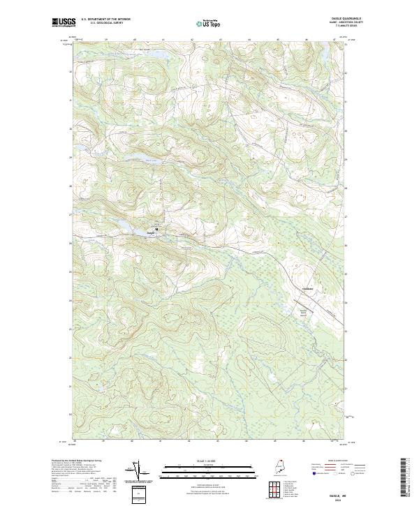 2024 Daigle2024 Print · USGSUpper Aroostook County is shown in this recent topographic study, capturing the rural settlements and family-named roads of northern Maine. Genealogists can trace local landmarks like Holy Family Catholic Cem and the small communities of Daigle and Ouellette.
 - 2024 Map of Frenchville, 2024 Print
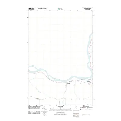
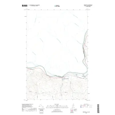
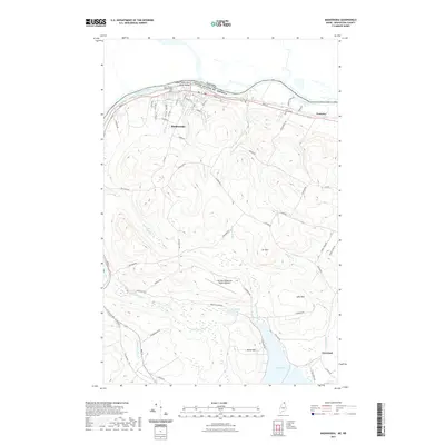
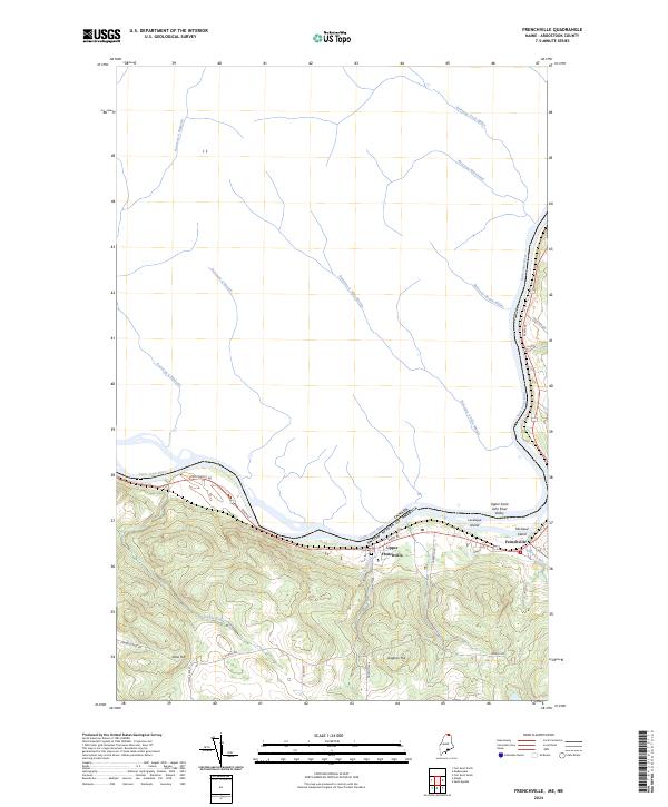 2024 Frenchville2024 Print · USGSThe international border along the Saint John River comes to life in this contemporary survey of northern Maine. Genealogists can trace family heritage through landmarks like Saint Luce Cem and local thoroughfares like Paradis Ave and Charette Hill Rd.
 - 2024 Map of Madawaska, 2024 Print
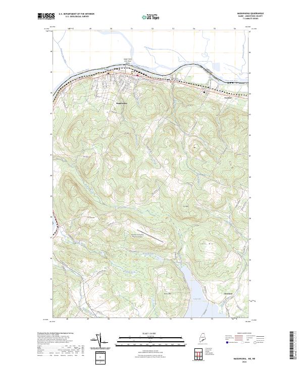 2024 Madawaska2024 Print · USGSThe northernmost edge of Maine meets the international border along the Saint John River in this recent survey. Researchers can trace family-named roads and sites like Saint Thomas Aquinas Cem, Fournier, and the slopes of Cyr Mtn.
End of results
Showing maps 1-15 of 15
Top cities near Frenchville
- Fort Kent historical maps
- Madawaska historical maps
- Eagle Lake historical maps
- Saint Agatha historical maps
- Square Lake historical maps
- Wallagrass historical maps
See more
Top neighborhoods of Frenchville
Frequently asked questions
- What are the different types of historical maps available for Frenchville?
- What is the oldest map of Frenchville?
- Where can I purchase historical maps of Frenchville for my home or office?
- Where can I download high-res historical maps of Frenchville?
- Are there historical topographic maps available for Frenchville?
- Is there historical aerial imagery available for Frenchville?
- Where are historical maps of Frenchville sourced from?