Old Maps of Frenchville, Maine for Hiking & Exploration
Hike through history with 28 historic maps of Frenchville. Explore old trails, ghost towns, and forgotten backroads — perfect for outdoor adventurers and local explorers.
- Rediscover forgotten places: Map out old mining camps, roads, and footpaths that no longer exist on modern maps.
- Layer with modern tools: Combine with LiDAR or satellite views to plan hikes through historical terrain.
- Made for exploration: Popular among hikers, overlanders, and local history lovers.
Use these maps to find adventure and explore the hidden past of Frenchville.
Frenchville, ME maps
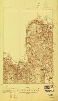
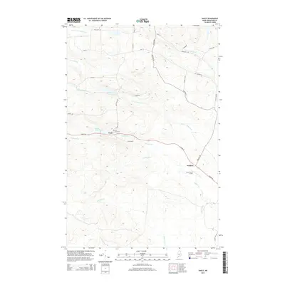
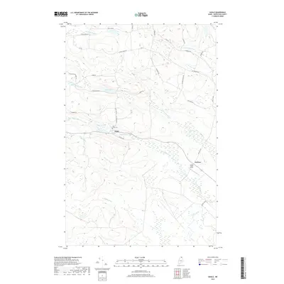
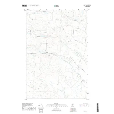
(28)- 1927 Map of Square Lake
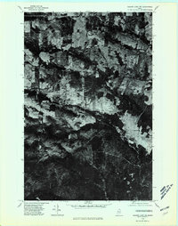
 1927 Square Lake1927 Print · USGSAroostook County's deep woods and connected waterways are captured here in the late 1920s, showing a landscape of timber camps and small school districts. You can trace the rural network of numbered schoolhouses and shoreline landmarks like Larriveau Mill, Red Point City, and Guerette Sch.
 - 1931 Map of Square Lake
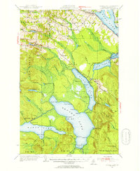
 1931 Square Lake1931 Print · USGSAroostook County's lake country in the early 1930s shows a landscape of timber camps and small rural settlements. Genealogists and historians can trace schools like Guerrette Sch and Thomas Sch or locate family-named landmarks like Ouellette and Yerxa Camp.4 unique versions available
 - 1932 Map of Frenchville
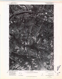
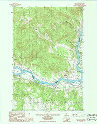
 1932 Frenchville1932 Print · USGSAroostook County's international borderland and rail network are meticulously detailed in the early 1930s, showing the intersection of Maine and New Brunswick. Genealogists can trace numerous local landmarks including St David Ch, Dionne Corner, and a series of numbered rural schools like School No 15.2 unique versions available
 - 1935 Map of Frenchville
 1935 Frenchville1935 Print · USGSUpper Aroostook County during the mid-1930s reveals a landscape shaped by the St. John River and the timber-and-farm economy. Researchers can trace the legacy of rural education and rail sidings through landmarks like Lincoln Sch, Pelletier Siding, and Dionne Corner.4 unique versions available
 - 1953 Map of Square Lake, 1955 Print
 1953 Square Lake1955 Print · USGSUpper Aroostook County’s vast lake chain is captured in the early fifties, showing the remote townships and lakeside camps of the Maine North Woods. Researchers can trace Acadian family footprints at St Agatha, Daigle, and St Eutropus Cem.4 unique versions available
 - 1962 Map of Edmundston, 1966 Print
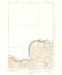
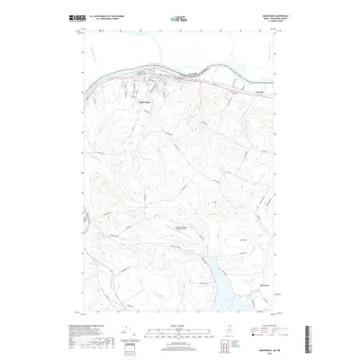
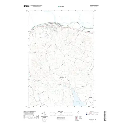
 1962 Edmundston1966 Print · USGSThe international borderlands of northern Maine and Canada come alive here during the early sixties, centered on the river-and-rail economies of the day. Genealogists and historians can trace the paths of the Bangor and Aroostook railroad through river towns like Fort Kent and St Agatha.2 unique versions available
 - 1975 Map of Frenchville SW, 1981 Print
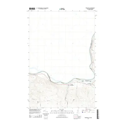
 1975 Frenchville SW1981 Print · USGSNorthern Aroostook County and New Brunswick meet along the river in the mid-seventies, showing the distinct Acadian land-use patterns of the valley. Genealogists can trace family homesteads in Frenchville and Upper Frenchville or across the St John River in St-Hilaire.
 - 1975 Map of Frenchville SE, 1981 Print
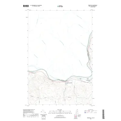
 1975 Frenchville SE1981 Print · USGSThe international border along the St John River comes into sharp focus during the mid-1970s, capturing the industrial heart of the St. John Valley. Genealogists and local historians can trace the clearings and family-held land around Dionne Corner, Fournier, and the settlement at Cleveland.
 - 1975 Map of Square Lake NW, 1981 Print
 1975 Square Lake NW1981 Print · USGSNorthern Maine agricultural and timber lands come into focus during the 1970s through this aerial-based survey. Genealogists and local historians can trace the footprint of rural settlements like Daigle and Ouellette and the path of Daigle Brook.
 - 1986 Map of Daigle
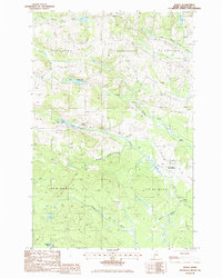 1986 Daigle1986 Print · USGSUpper Aroostook County is shown in the mid-1980s at the junction of several historic townships. Researchers can trace family homesteads near Daigle and Ouellette, or locate landmarks like La Change Landing Field and Daigle Pond.
 - 1986 Map of Madawaska
 1986 Madawaska1986 Print · USGSThe international border at the St John River comes alive in the 1980s, showing the deep rail and river ties between Maine and New Brunswick. Genealogists can trace family landmarks like Dionne Corner and St Davids Ch (Rc) near the Bangor and Aroostook RR.
 - 1986 Map of Frenchville
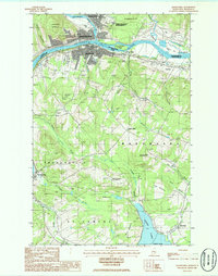
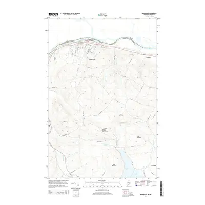
 1986 Frenchville1986 Print · USGSThe international border along the St John River comes into focus during the mid-1980s. Researchers can trace Acadian heritage through settlements like Frenchville and Saint-Hilaire or locate family land near Gagnon Hill.
 - 1994 Map of Madawaska
 1994 Madawaska1994 Print · USGSThe St John Valley in the 1990s remained a unique cultural crossroads of Maine and New Brunswick, centered on the river and the rails. Genealogists and historians can trace family-named settlements like Violette Settlement or explore the shores of Eagle Lake and Long Lake.
 - 2011 Map of Madawaska, 2011 Print
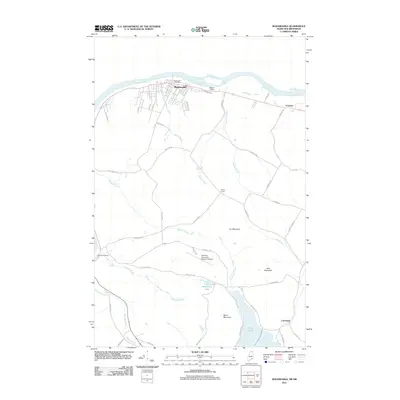 2011 Madawaska2011 Print · USGSCovers Frenchville, including Edmundston, Madawaska, and other nearby areas
 - 2011 Map of Daigle, 2011 Print
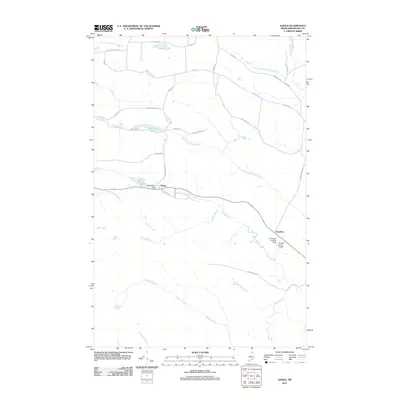 2011 Daigle2011 Print · USGSCovers Frenchville, including Fort Kent, Saint Agatha, and other nearby areas
 - 2011 Map of Frenchville, 2011 Print
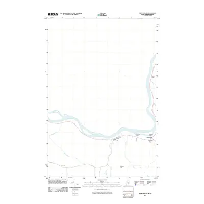 2011 Frenchville2011 Print · USGSCovers Frenchville, including Fort Kent, Saint Agatha, and other nearby areas
 - 2014 Map of Daigle, 2014 Print
 2014 Daigle2014 Print · USGSCovers Frenchville, including Fort Kent, Saint Agatha, and other nearby areas
 - 2014 Map of Frenchville, 2014 Print
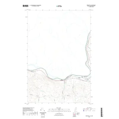
 2014 Frenchville2014 Print · USGSCovers Frenchville, including Fort Kent, Saint Agatha, and other nearby areas
 - 2014 Map of Madawaska, 2014 Print
 2014 Madawaska2014 Print · USGSCovers Frenchville, including Edmundston, Madawaska, and other nearby areas
 - 2018 Map of Frenchville, 2018 Print
 2018 Frenchville2018 Print · USGSCovers Frenchville, including Fort Kent, Saint Agatha, and other nearby areas
 - 2018 Map of Daigle, 2018 Print
 2018 Daigle2018 Print · USGSCovers Frenchville, including Fort Kent, Saint Agatha, and other nearby areas
 - 2018 Map of Madawaska, 2018 Print
 2018 Madawaska2018 Print · USGSCovers Frenchville, including Edmundston, Madawaska, and other nearby areas
 - 2021 Map of Daigle, 2021 Print
 2021 Daigle2021 Print · USGSCovers Frenchville, including Fort Kent, Saint Agatha, and other nearby areas
 - 2021 Map of Madawaska, 2021 Print
 2021 Madawaska2021 Print · USGSCovers Frenchville, including Edmundston, Madawaska, and other nearby areas
 - 2021 Map of Frenchville, 2021 Print
 2021 Frenchville2021 Print · USGSCovers Frenchville, including Fort Kent, Saint Agatha, and other nearby areas
Showing maps 1-25 of 28
Top cities near Frenchville
- Fort Kent historical maps
- Madawaska historical maps
- Eagle Lake historical maps
- Saint Agatha historical maps
- Square Lake historical maps
- Wallagrass historical maps
See more
Top neighborhoods of Frenchville
Frequently asked questions
- What are the different types of historical maps available for Frenchville?
- What is the oldest map of Frenchville?
- Where can I purchase historical maps of Frenchville for my home or office?
- Where can I download high-res historical maps of Frenchville?
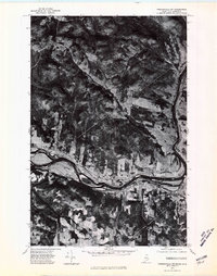
- Are there historical topographic maps available for Frenchville?
- Is there historical aerial imagery available for Frenchville?
- Where are historical maps of Frenchville sourced from?