Old Maps of Carys Mills, Houlton for Genealogy
Trace your family roots with 11 historic maps of Carys Mills. These high-res maps reveal old neighborhoods, homesites, landmarks, and streets — helping you uncover where your ancestors lived and how the area evolved over time.
- Explore historic neighborhoods: Identify where your relatives may have lived in the 1800s or 1900s.
- Compare maps over time: Trace the changes in streets, buildings, and landmarks for multi-generational research.
- Perfect for genealogy & ancestry research: Used by family historians and researchers to map out lineage and migration.
These maps are an incredible resource for exploring your personal connection to Carys Mills's past.
Carys Mills, Houlton maps
(11)- 1938 Map of Houlton
 1938 Houlton1938 Print · USGSAroostook County's borderlands are captured here in the late 1930s, showing a landscape of small farming communities and international connections. Researchers can find numerous family-named schoolhouses like Haggerty Sch and trace the rail path of the Canadian Pacific near Littleton Sta.3 unique versions available
 - 1951 Map of Houlton, 1952 Print
 1951 Houlton1952 Print · USGSAroostook County's borderlands are captured here in the early fifties, showing the vital rail and river connections of the international boundary. Genealogists can locate family landmarks like Porter Settlement, Peoples Ch, and numerous rural schoolhouses including Rideout Sch.5 unique versions available
 - 1959 Map of Woodstock, 1975 Print
 1959 Woodstock1975 Print · USGSNorthern Maine and New Brunswick meet along the river valleys in the late fifties, showcasing an era of international rail and river commerce. Genealogists can trace family roots through border towns like Woodstock and Houlton, or along the lines of the Bangor & Aroostook railroad.
 - 1963 Map of Woodstock
 1963 Woodstock1963 Print · USGSThe Maine-New Brunswick borderlands come alive in the early sixties, showing the vital river-and-rail connection between Houlton and Woodstock. Genealogists and historians can trace the paths of the Canadian Pacific RR and locate rural communities like Stickney and Upper Kent.
 - 1984 Map of Houlton South
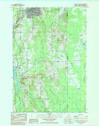 1984 Houlton South1984 Print · USGSAroostook County during the early 1980s reveals a cross-border landscape defined by international transit and small farming settlements. Researchers can trace family history through Jackins Settlement and Carys Mills, or follow the path of the Canadian Pacific railroad near Union Corners.2 unique versions available
 - 1993 Map of Houlton
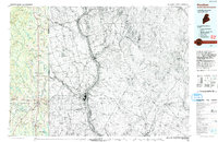 1993 Houlton1993 Print · USGSThe Maine-New Brunswick borderlands are captured here in the early 1990s, centered on the transit and trade hub of Houlton. Genealogists and historians can trace family-named locales and crossroads like Porter Settlement, Jackson Settlement, and Bridgewater Corner.
 - 2011 Map of Houlton South, 2011 Print
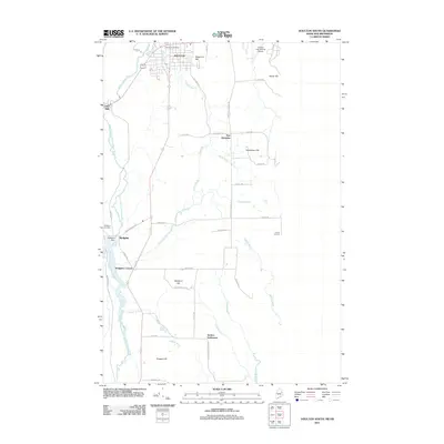 2011 Houlton South2011 Print · USGSHoulton and its southern neighboring settlements are shown in detail during the early 21st century. Researchers can trace rural family legacies through Jackins Settlement, East Hodgdon, and landmarks like the Hodgdon Cemetery.
 - 2014 Map of Houlton South, 2014 Print
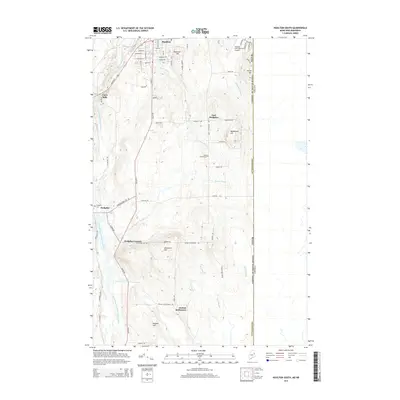 2014 Houlton South2014 Print · USGSThe Maine-New Brunswick border comes into focus in this modern survey of southern Aroostook County. Family researchers can trace ancestral ties to Jackins Settlement, visit the Union Church Cem, or follow the winding path of the Meduxnekeag River.
 - 2018 Map of Houlton South, 2018 Print
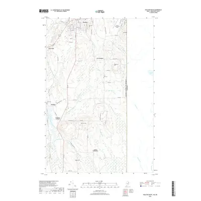 2018 Houlton South2018 Print · USGSThe Aroostook County borderlands appear in high detail during the late 2010s, showing the intersection of Maine's timberlands and international boundaries. Genealogists and local historians can trace family ties through Jackins Settlement, Union Church Cem, and the rural grid of Carys Mills.
 - 2021 Map of Houlton South, 2021 Print
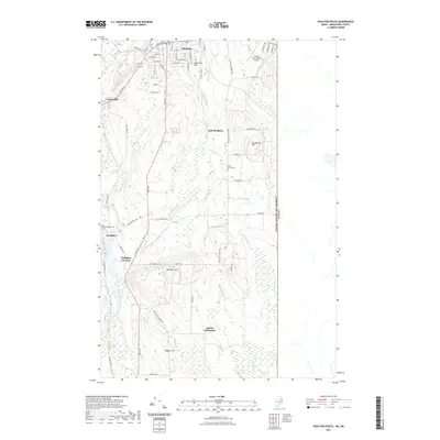 2021 Houlton South2021 Print · USGSAroostook County's borderlands are mapped here in the modern era, showing the transition from the town of Houlton to rural settlements. Genealogists can trace family connections through sites like Jackins Settlement, Hodgdon Corners, and the Union Church Cem.
 - 2024 Map of Houlton South, 2024 Print
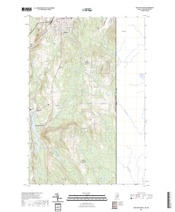 2024 Houlton South2024 Print · USGSThe Maine borderlands near Houlton come into focus in this contemporary survey of Aroostook County’s agricultural and woodland interior. Genealogists can locate family landmarks like the Hodgdon Cem and trace early road networks through Jackins Settlement and Carys Mills.
End of results
Showing maps 1-11 of 11
Frequently asked questions
- What are the different types of historical maps available for Carys Mills?
- What is the oldest map of Carys Mills?
- Where can I purchase historical maps of Carys Mills for my home or office?
- Where can I download high-res historical maps of Carys Mills?
- Are there historical topographic maps available for Carys Mills?
- Is there historical aerial imagery available for Carys Mills?
- Where are historical maps of Carys Mills sourced from?