Old Maps of Morris Corner, Limestone for Hiking & Exploration
Hike through history with 13 historic maps of Morris Corner. Explore old trails, ghost towns, and forgotten backroads — perfect for outdoor adventurers and local explorers.
- Rediscover forgotten places: Map out old mining camps, roads, and footpaths that no longer exist on modern maps.
- Layer with modern tools: Combine with LiDAR or satellite views to plan hikes through historical terrain.
- Made for exploration: Popular among hikers, overlanders, and local history lovers.
Use these maps to find adventure and explore the hidden past of Morris Corner.
Morris Corner, Limestone maps
(13)- 1930 Map of Fort Fairfield
 1930 Fort Fairfield1930 Print · USGSThe international border of Aroostook County comes into focus in the 1930s, showing a landscape of rail-driven agriculture and rural school districts. Genealogists and historians can trace family-named landmarks like Cote Corner, Noyes Mill, and the Riverside Cemetery.
 - 1933 Map of Fort Fairfield
 1933 Fort Fairfield1933 Print · USGSAroostook County was a thriving hub of rail and river commerce in the early thirties. Genealogists can trace family names across dozens of rural schoolhouses and landmarks like Grimes Mill, Findlen Sch, and Riverside Cem.3 unique versions available
 - 1951 Map of Fort Fairfield, 1952 Print
 1951 Fort Fairfield1952 Print · USGSAroostook County's borderlands come alive in this mid-century survey, showing the busy rail-and-river network connecting Maine to New Brunswick. Genealogists and historians can trace family-named corners and rural schoolhouses such as Kelly Sch, Grimes Mill, and the State Fish Hatchery.5 unique versions available
 - 1953 Map of Limestone, 1955 Print
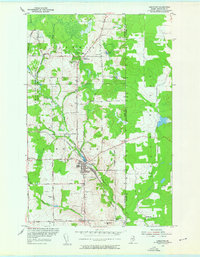 1953 Limestone1955 Print · USGSUpper Aroostook County is seen here during the early Cold War era, just as the massive Loring Air Force Base was becoming a major presence. You can trace early family connections through sites like Pleasant Ridge Sch, Caldwell Cem, and the various corners such as Morris Corner.2 unique versions available
 - 1959 Map of Woodstock, 1975 Print
 1959 Woodstock1975 Print · USGSNorthern Maine and New Brunswick meet along the river valleys in the late fifties, showcasing an era of international rail and river commerce. Genealogists can trace family roots through border towns like Woodstock and Houlton, or along the lines of the Bangor & Aroostook railroad.
 - 1963 Map of Woodstock
 1963 Woodstock1963 Print · USGSThe Maine-New Brunswick borderlands come alive in the early sixties, showing the vital river-and-rail connection between Houlton and Woodstock. Genealogists and historians can trace the paths of the Canadian Pacific RR and locate rural communities like Stickney and Upper Kent.
 - 1975 Map of Limestone, 1981 Print
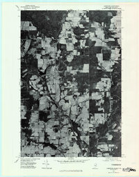 1975 Limestone1981 Print · USGSAroostook County agriculture is seen in high detail during the mid-seventies, showing the Maine-New Brunswick borderlands. Genealogists can locate family-named sites like Mc Cluskey and Costigan or trace the rural roads near Morris Corner.
 - 1993 Map of Fort Fairfield
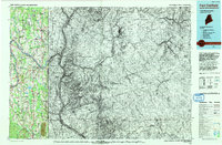 1993 Fort Fairfield1993 Print · USGSThe Aroostook River valley is shown at a pivotal moment in the 1990s as it spans the international border between Maine and New Brunswick. Genealogists and local historians can trace the extent of Loring Air Force Base or locate rural crossroads like Grimes Mill and Sawyer Corner.
 - 2011 Map of Limestone, 2011 Print
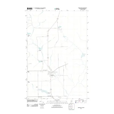 2011 Limestone2011 Print · USGSLimestone and its surrounding agricultural corners are captured here in the early twenty-first century. Researchers can trace family-named crossroads like Grass Corner or locate ancestral burial sites at Saint Louis Cemetery and Webster Cemetery.
 - 2014 Map of Limestone, 2014 Print
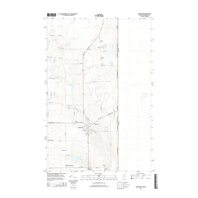 2014 Limestone2014 Print · USGSAroostook County's borderlands are detailed in this recent survey, showcasing the rural landscape of Maine just before the Canadian line. Genealogists can trace family heritage through numerous burial sites like Howland Family Cem and Webster Cem near Limestone.
 - 2018 Map of Limestone, 2018 Print
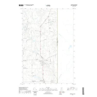 2018 Limestone2018 Print · USGSLimestone and the surrounding Aroostook County borderlands appear here in the late twenty-first century, just west of the international boundary. Genealogists can trace family heritage through numerous local sites including Howland Family Cem, Webster Cem, and the crossroads at Morris Corner.
 - 2021 Map of Limestone, 2021 Print
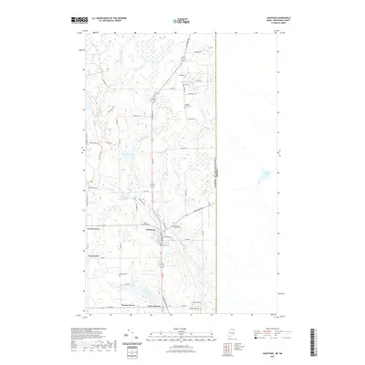 2021 Limestone2021 Print · USGSThe Maine-Canada borderlands near Limestone are captured here in the early 2020s, showing a landscape of rural corners and family heritage. Researchers can trace local lineage through numerous small burial sites like the Howland Family Cem and Kearney Cem near Limestone Stream.
 - 2024 Map of Limestone, 2024 Print
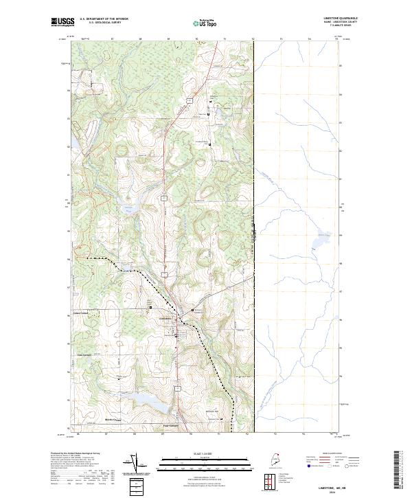 2024 Limestone2024 Print · USGSIn the borderlands of northern Maine, this contemporary survey captures the town of Limestone and its surrounding agricultural crossroads. Genealogists can locate several family burial sites like Howland Family Cem and Webster Cem while tracing the edges of the Aroostook National Wildlife Refuge.
End of results
Showing maps 1-13 of 13
Frequently asked questions
- What are the different types of historical maps available for Morris Corner?
- What is the oldest map of Morris Corner?
- Where can I purchase historical maps of Morris Corner for my home or office?
- Where can I download high-res historical maps of Morris Corner?
- Are there historical topographic maps available for Morris Corner?
- Is there historical aerial imagery available for Morris Corner?
- Where are historical maps of Morris Corner sourced from?