Old Maps of New Canada, Maine for Genealogy
Trace your family roots with 35 historic maps of New Canada. These high-res maps reveal old neighborhoods, homesites, landmarks, and streets — helping you uncover where your ancestors lived and how the area evolved over time.
- Explore historic neighborhoods: Identify where your relatives may have lived in the 1800s or 1900s.
- Compare maps over time: Trace the changes in streets, buildings, and landmarks for multi-generational research.
- Perfect for genealogy & ancestry research: Used by family historians and researchers to map out lineage and migration.
These maps are an incredible resource for exploring your personal connection to New Canada's past.
New Canada, ME maps
(35)- 1927 Map of Square Lake
 1927 Square Lake1927 Print · USGSAroostook County's deep woods and connected waterways are captured here in the late 1920s, showing a landscape of timber camps and small school districts. You can trace the rural network of numbered schoolhouses and shoreline landmarks like Larriveau Mill, Red Point City, and Guerette Sch.
 - 1928 Map of Eagle Lake
 1928 Eagle Lake1928 Print · USGSAroostook County's northern timberlands and rail sidings are meticulously mapped here in the late 1920s. Genealogists can trace family roots through the Violette Settlement, St Marks Ch, and numerous country schools like Shakespeare Sch.5 unique versions available
 - 1931 Map of Square Lake
 1931 Square Lake1931 Print · USGSAroostook County's lake country in the early 1930s shows a landscape of timber camps and small rural settlements. Genealogists and historians can trace schools like Guerrette Sch and Thomas Sch or locate family-named landmarks like Ouellette and Yerxa Camp.4 unique versions available
 - 1931 Map of Eagle Lake
 1931 Eagle Lake1931 Print · USGSThe Aroostook County borderlands in the early thirties were a landscape of remote timber camps and French-Acadian settlements along the river bends. Genealogists and local historians can trace family-named sites like Violette Settlement, Labby Michaud PO, and the Plourde Mill.4 unique versions available
 - 1953 Map of Square Lake, 1955 Print
 1953 Square Lake1955 Print · USGSUpper Aroostook County’s vast lake chain is captured in the early fifties, showing the remote townships and lakeside camps of the Maine North Woods. Researchers can trace Acadian family footprints at St Agatha, Daigle, and St Eutropus Cem.4 unique versions available
 - 1962 Map of Edmundston, 1966 Print
 1962 Edmundston1966 Print · USGSThe international borderlands of northern Maine and Canada come alive here during the early sixties, centered on the river-and-rail economies of the day. Genealogists and historians can trace the paths of the Bangor and Aroostook railroad through river towns like Fort Kent and St Agatha.2 unique versions available
 - 1975 Map of Square Lake SW, 1981 Print
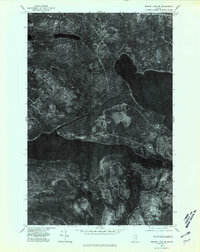 1975 Square Lake SW1981 Print · USGSAroostook County timberlands are captured in detail during the mid-seventies, showing the intersection of industrial forestry and the great lakes of northern Maine. Researchers can trace the wooded shores of Square Lake and Eagle Lake or locate the remote California Pond.
 - 1975 Map of Eagle Lake NE, 1981 Print
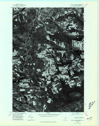 1975 Eagle Lake NE1981 Print · USGSNorthern Aroostook County is shown during the mid-1970s, where the international border follows the winding path of the St John River. Researchers can trace the development of riverside settlements like Fort Kent, Soldier Pond, and Bradburys.
 - 1975 Map of Square Lake NW, 1981 Print
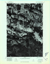 1975 Square Lake NW1981 Print · USGSNorthern Maine agricultural and timber lands come into focus during the 1970s through this aerial-based survey. Genealogists and local historians can trace the footprint of rural settlements like Daigle and Ouellette and the path of Daigle Brook.
 - 1975 Map of Eagle Lake SE, 1981 Print
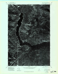 1975 Eagle Lake SE1981 Print · USGSAroostook County's deep woods and waterways are captured in detail in the mid-1970s through this aerial orthophotoquad. Researchers can trace the precise development of PLAISTED and the town of EAGLE LAKE, alongside the natural contours of the FISH RIVER.
 - 1985 Map of Eagle Lake, 1986 Print
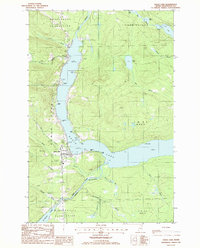 1985 Eagle Lake1986 Print · USGSAroostook County's lake country is captured in the 1980s, showing the vital water connection between Eagle Lake and the Fish River. Researchers can trace local landmarks like the Plaisted village center, the Winterville Plantation boundary, and the Thoroughfare waterway.
 - 1985 Map of Fort Kent South, 1986 Print
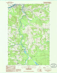 1985 Fort Kent South1986 Print · USGSAroostook County's borderlands and the Fish River valley are captured in the mid-1980s. Local historians can trace family locations in the Michigan Settlement, locate the Drive In Theater, or explore the mills and parish life of Fort Kent Village.
 - 1986 Map of Square Lake West
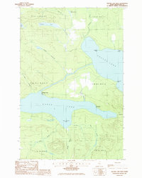 1986 Square Lake West1986 Print · USGSNorthern Maine's lake country is captured here in the mid-1980s, centered on the strategic connection between two major water bodies. Researchers can trace portage routes at The Carry or locate seasonal sites like Michaud Camp and Burnt Landing.
 - 1986 Map of Daigle
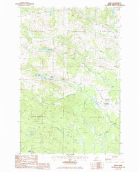 1986 Daigle1986 Print · USGSUpper Aroostook County is shown in the mid-1980s at the junction of several historic townships. Researchers can trace family homesteads near Daigle and Ouellette, or locate landmarks like La Change Landing Field and Daigle Pond.
 - 1994 Map of Madawaska
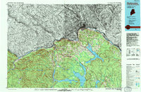 1994 Madawaska1994 Print · USGSThe St John Valley in the 1990s remained a unique cultural crossroads of Maine and New Brunswick, centered on the river and the rails. Genealogists and historians can trace family-named settlements like Violette Settlement or explore the shores of Eagle Lake and Long Lake.
 - 2011 Map of Daigle, 2011 Print
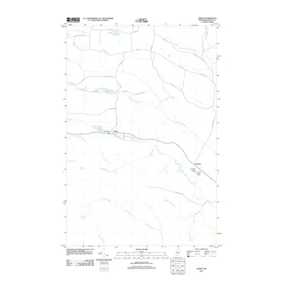 2011 Daigle2011 Print · USGSAroostook County's timberlands and French-Acadian settlements are shown here at the start of the 2010s. Researchers can trace family-named roads like Pelletier Rd and locate aviation history at Sunrise Farms Airport or the La Change Landing Field.
 - 2011 Map of Eagle Lake, 2011 Print
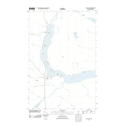 2011 Eagle Lake2011 Print · USGSAroostook County's lake country is captured here in the early twenty-first century, showing the established communities and remote camps of northern Maine. Genealogists and local historians can trace family-named landmarks and settlements from Plaisted to Eagle Lake, including Saucier Camp and Wiles Camp.
 - 2011 Map of Fort Kent South, 2011 Print
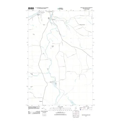 2011 Fort Kent South2011 Print · USGSNorthern Maine's river-driven economy is on display in this early 21st-century record of Aroostook County. Genealogists and historians can trace the development of timber and transit hubs like Soldier Pond, Fort Kent Mills, and the Soldier Pond Post Office along the Fish River.
 - 2011 Map of Square Lake West, 2011 Print
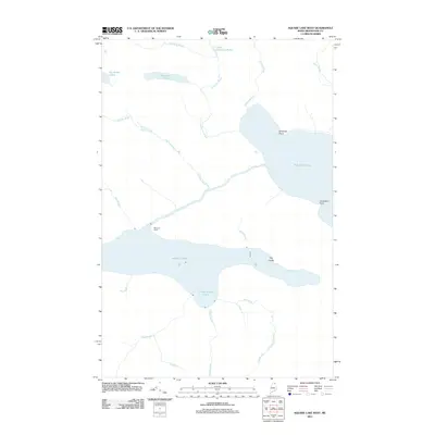 2011 Square Lake West2011 Print · USGSAroostook County's interior waters remain relatively untouched in the early 21st century, centered on the connection between two great lakes. Genealogists and outdoorsmen can trace the remote Michaud Camp and shoreline landmarks like Abraham Point and the Ledge.
 - 2014 Map of Eagle Lake, 2014 Print
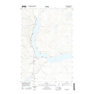 2014 Eagle Lake2014 Print · USGSThe Aroostook County lake country is captured here during the mid-2010s, showing the established communities and water-dependent geography of the Fish River chain. Researchers can trace family history through Saint Marys Cem and follow the old lakefront road-network past Plaisted and Nadeau Thoroughfare.
 - 2014 Map of Square Lake West, 2014 Print
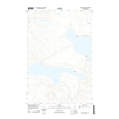 2014 Square Lake West2014 Print · USGSNorthern Maine’s lake country remains a pristine wilderness in this modern survey of the Aroostook interior. Outdoorsmen and local historians can trace the intricate network of waterways from Thee Brooks Cove to landmarks like Limestone Point and The Ledge.
 - 2014 Map of Daigle, 2014 Print
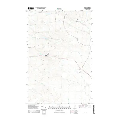 2014 Daigle2014 Print · USGSNorthern Maine's rural landscape comes into focus in the early twenty-first century, centered on the small settlements of the St. John Valley region. Genealogists and local historians can trace family locations along Caribou Rd, from the Holy Family Cem in Daigle to the small airfield at Sunrise Farms Airport.
 - 2014 Map of Fort Kent South, 2014 Print
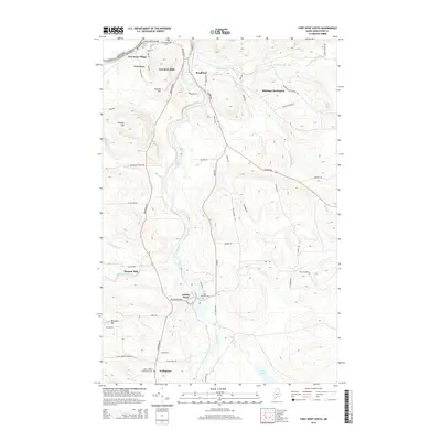 2014 Fort Kent South2014 Print · USGSThe Fish River valley in northern Maine is captured here during the mid-2010s, showing the border landscape south of the St. John River. Family historians can locate specific sites like Plourde Mill, Saint Josephs Cem, and the historic enclave of Michigan Settlement.
 - 2018 Map of Eagle Lake, 2018 Print
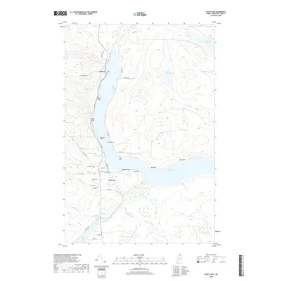 2018 Eagle Lake2018 Print · USGSAroostook County’s northern lake country is shown in detail during the late twenty-teens, centering on the vital waterway connection between Eagle Lake and Saint Froid Lake. Researchers can trace local genealogy and land use through features like Plaisted, Saint Marys Cem, and the winding Fish River valley.
 - 2018 Map of Square Lake West, 2018 Print
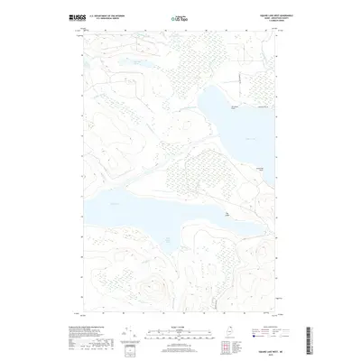 2018 Square Lake West2018 Print · USGSSquare Lake and the surrounding Aroostook County wilderness are captured in this 2018 survey of northern Maine. Explorers and researchers can trace remote landmarks like Abraham Point, the waters of Eagle Lake, and the dense network of Sly Brook Lakes.
Showing maps 1-25 of 35
Top cities near New Canada
- Fort Kent historical maps
- Madawaska historical maps
- Frenchville historical maps
- Eagle Lake historical maps
- Saint Agatha historical maps
- Square Lake historical maps
See more
Top neighborhoods of New Canada
Frequently asked questions
- What are the different types of historical maps available for New Canada?
- What is the oldest map of New Canada?
- Where can I purchase historical maps of New Canada for my home or office?
- Where can I download high-res historical maps of New Canada?
- Are there historical topographic maps available for New Canada?
- Is there historical aerial imagery available for New Canada?
- Where are historical maps of New Canada sourced from?